Elevation gain: 4780 feet
Trails used: , Journey's End Trail, Long Trail.
Highlight(s): Long Trail section hike, Canadian/Vermont border views, Jay Peak.
Every year for the past few years, Brian and I have done an overnight in northern New Hampshire right around this time of year. For this years jaunt, we decided to switch it up a bit and do something in Vermont. We had said a few years ago we wanted to section hike the Long Trail in Vermont, so this seemed like the perfect time to attempt and/or get a few sections done. Originally, we were going to do this as a backpacking trip but after a few days of planning, we figured since we would have two cars we would just car spot and move the cars as needed. This would allow us to use lighter packs and move along at a quicker pace. We left Brian's car in Jay Pass and drove my car to Journey's End Road, where we would began our two day journey.
Carleton Mountain, Burnt Mountain and Middle Jay (Doll Peak) are located in Jay, Vermont. Jay Peak (the summit area) is located in Westfield, Vermont. All of the summits are along the Long Trail, with various views and viewpoints along the way. Jay Peak is home to the Jay Peak Resort and Ski area, and offers 360 degree views from the summit and summit area.
Jay Peak is on the New England 100 Highest List, the Vermont 3k List and the Vermont 100 Highest List/Vermont 200 Highest List.
Jay Peak is on the New England 100 Highest List, the Vermont 3k List and the Vermont 100 Highest List/Vermont 200 Highest List.
The start of the Journey's End Trail which is at the end of Journey's End Road. It is 1.3 miles from here to the start of the Long Trail.
We came across these mounds of rocks along the Journey's End Trail but we weren't sure exactly what they were for.
A metal cable spanned this small stream, which I guess could be higher with more water.
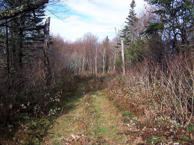
It was quite cool as we headed along the Journey's End Trail on our way to start our trip along the Long Trail. The woods were nice to start and the morning on the cool side.
The cabin at Journey's End Camp, which has bunks for eight people.
The views looking into Quebec, Canada of nearby Mont Burnt and Sommet Rond.
The views looking down what is commonly known as the border swath, which separates the United States and Canada
The views looking west along the border swath of Mont Brock in Quebec, Canada. Le Pinacle is just to the right of Mont Brock, in the background.
Line Post 592 along the Canadian-Vermont border.
The views of what I think is Mont Owls Head (ski area) in Quebec from the ledges at the northern terminus of the Long Trail.
Brian posing at the northern terminus of the Long Trail, where we would officially start section hiking the Long Trail.
My turn to pose at the northern terminus for the Long Trail.
Cruising along the Long Trail, which is also blazed in white like the Appalachian Trail, on our way to the summit area of Carleton Mountain.
Latitude 45 degrees. The sign says it all.
The summit of Carleton Mountain (elevation: 2651 feet). There are no views from the summit itself but so-so views from the lookout.
The views from the lookout on Carleton Mountain looking towards North Jay Mountain and Jay Peak. Burnt Mountain is behind the trees in the center of the picture.
We crossed this old woods road that has seen some recent ATV traffic.
Heading down towards Vermont 105 along the Long Trail.
The Long Trail crossing at Vermont 105, where they were doing road construction.
Brian looking at Jay Peak, the last stop on our first day of a two day Long Trail trip. It sure looks like it is still a long ways away.
Brian checking out the log book inside of the Shooting Star shelter. Every shelter has a logbook for people to sign into.
Brian starting another climb up as we make our way towards the summit of Middle Jay, or Doll Peak as it is called on some maps.
Some sections of the Long Trail are very pleasant, like this section.
A zoomed in view of what I believe is Mont Owls Head in Canada from along the Long Trail.
An interesting looking sub peak to the west of North Jay Peak from along the Long Trail.
The high point of Middle Jay (Doll Peak) (elevation: 3409 feet).
Jay Peak is getting closer and closer but it still feels like it is miles away.
Brian checking out the Laura Woodward shelter.
From the Laura Woodward Shelter, it was still another 3.5 long miles to Jay Pass.
Brian beginning yet another climb as we head towards Jay Peak.
Following the Long Trail as it crosses into the Jay Peak ski area.
Beginning the last climb of the day, which turned out to be the steepest part and the most wearing on our bodies. At this point, the wind was picking up and it was getting colder. You can see the summit ski gondola area as we climb along the ski slopes.
Looking back towards North Jay Peak as we climb up to the summit of Jay Peak.
Looking down the lift line of the Jay, Vermont area from the summit of Jay Peak.
The Atlas Valley shelter (not intended for overnight use) which is right along the Long Trail at Jay Pass.


No comments:
Post a Comment