Mileage: 7.95
Elevation gain: 2845'
Trails used: Clark Brook Trail, Lake Mansfield Trail, Clara Bow Trail, Long Trail, bushwhack.
Desi and I took Friday off to potentially do an overnight in the Glastenbury area in Vermont, but with the dismal weather forecasted and her back not being 100%, we decided to stick to a dayhike or something that would have no views (if the weather truly was bad).
We decided on doing Breadloaf and Wilson from the Clark Brook Trail off of Forest Road 55 in Glanville, Vermont. We figured it would be a rainy hike so we were prepared to get wet, so with our rain gear in tow we headed up the trail.
The Clark Brook Trailhead. There is limited parking located directly across from the Clark Brook Trailhead at a primitive looking camp site.
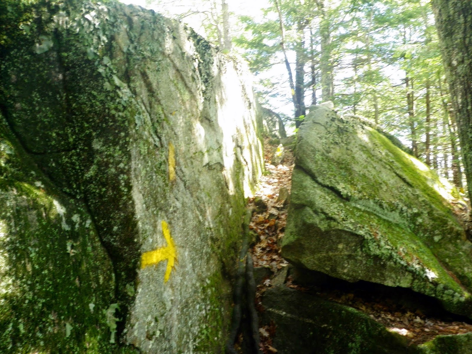
Desi all geared up and heading down the Clark Brook Trail. Notice they warn you about the water crossing so we were aware.
I did say it was raining, right? The rains the day before, plus runoff from snow and ice made the river crossing too dangerous for us to want to attempt it.
Since we had to abort the Breadloaf Mountain/Mount Wilson hike due to the high water crossing, we looked at a Vermont map for something else to do. Desi has wanted to go into the Nebraska Notch and she loves the Stowe area, so off we went for our hike. We drove down Moscow Road for a bit until we reached the Lake Mansfield Trout Club lodge and parked.
This is a nice family type trail, complete with waterfalls, decent views and beaver ponds and it goes up to the junction with the Long Trail (north and south) which opens up possibilities for hiking.
Nebraska Notch and Mount Clark are located in Underhill, Vermont. The Long Trail traverses the eastern slope of Mount Clark, so it requires a bushwhack to reach its summit. The summit area is bordering the Fort Ethan Allen Military Reservation (which is a firing range) so use caution if you want to hike to this peak but don't trespass on the other side of the summit.
The Lake Mansfield Trail starts off at the Lake Mansfield Trout Club (private club). There is a hiker parking area and there are signs directing you to where the trail starts into the woods.
For a short distance, you walk besides Lake Mansfield. There are No Trespassing sign's that dot the area on the lower half of the trail so please stay on trail.
The water was flowing down the Lake Mansfield Trail in a few spots so sometimes it felt like we were hiking in a stream bed.
A nice strand of tree's that run along the Lake Mansfield Trail. The trail for the lower half is part of an old logging road.
A neat little section of rock steps as the Lake Mansfield Trail gets steeper.
An impressive waterfall that falls for roughly 100 feet into a little basin-like pool. There is a spring right around the corner from here to top off your water.
Our first (semi) views of Nebraska Notch, and one of the beaver ponds in the area.
A beaver pond right below Taylor Lodge. You can see where the beaver slides down to the water in the vegetation on the other side.
Taylor Lodge, named after the founder of the Green Mountain Club, James P. Taylor. It has a nice fenced in porch area and sleeps about 15 people.
We decided to do the Clara Bow Trail to the Long Trail, which is 0.4 ROUGH miles as the trail sign states.
The Clara Bow Trail was nice to start out on but then it got very rocky with quite a few ledges, hence the ROUGH part of the signage above. It was about to get even more fun...
You drop down into a ravine and come to this cave that you either need to go through or return to the lodge and go the .01 miles to the Long Trail. Onward we go...
You have to descend this ladder to get through the cave. This shot is from the bottom of the ladder. It was slippery so it was fun to go down it. You can see the blue blazes on the rock that point you in the right direction.
The other end of the wet cave. The few days rain prior made this part fun to do with careful footholds so definitely take it slow through here on a wet day.
Even more of the ravine you go through on the Clara Bow Trail. For only being 0.4 miles it was a slow 0.4 miles to the Long Trail.
Back at the trail junction of the Long Trail, Clara Bow Trail and Lake Mansfield Trail we headed south towards Mount Clark.
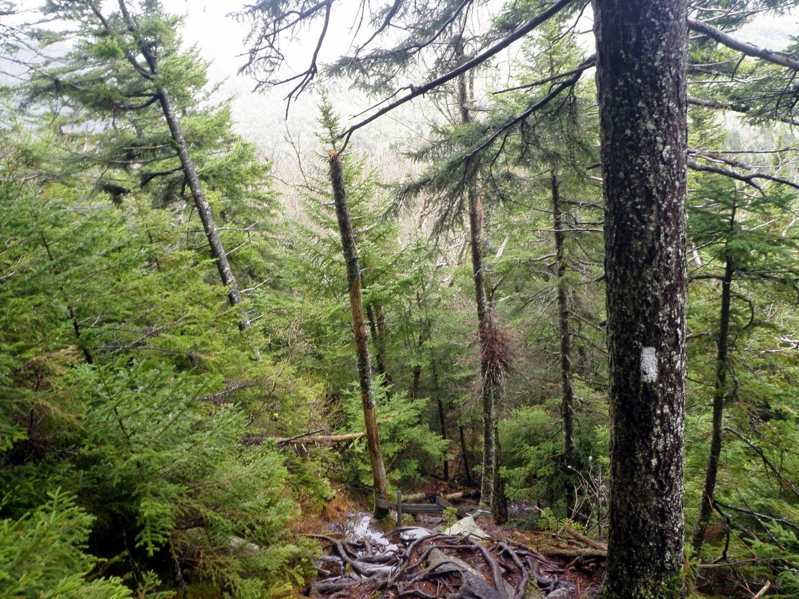
The southern part of the Long Trail towards Mount Clark was very rugged; wet, muddy and quite a few up's and down's.
You do come to another beaver pond area with some bog bridges to cross, which could be fun if they are icy or slippery or if the water was higher.
The views of the beaver pond itself. The beaver lodge was on the other side of the pond. This picture was taken from the bog bridges. Desi waited here while I made a quick run up to Mount Clark.
The trail gets rugged and steep after the pond as you skirt along Mount Clark. There was a lot of erosion on this section of the Long Trail.
You know its steep when there is a ladder involved to go up the wet ledges.
Just after the ladder section, it levels out for a short stretch. I began the short bushwhack up through the wet woods. Here is the summit area for Mount Clark (elevation 2970'). Be careful, the actual summit is on US property (Fort Ethan Allen Military Reservation - Artillery Range).
Looking back down towards Lake Mansfield where we started the hike.
Also, looking down from the ladder section as I was heading back to the beaver pond where Desi was waiting.
The other end of the upper beaver pond along the Long Trail.
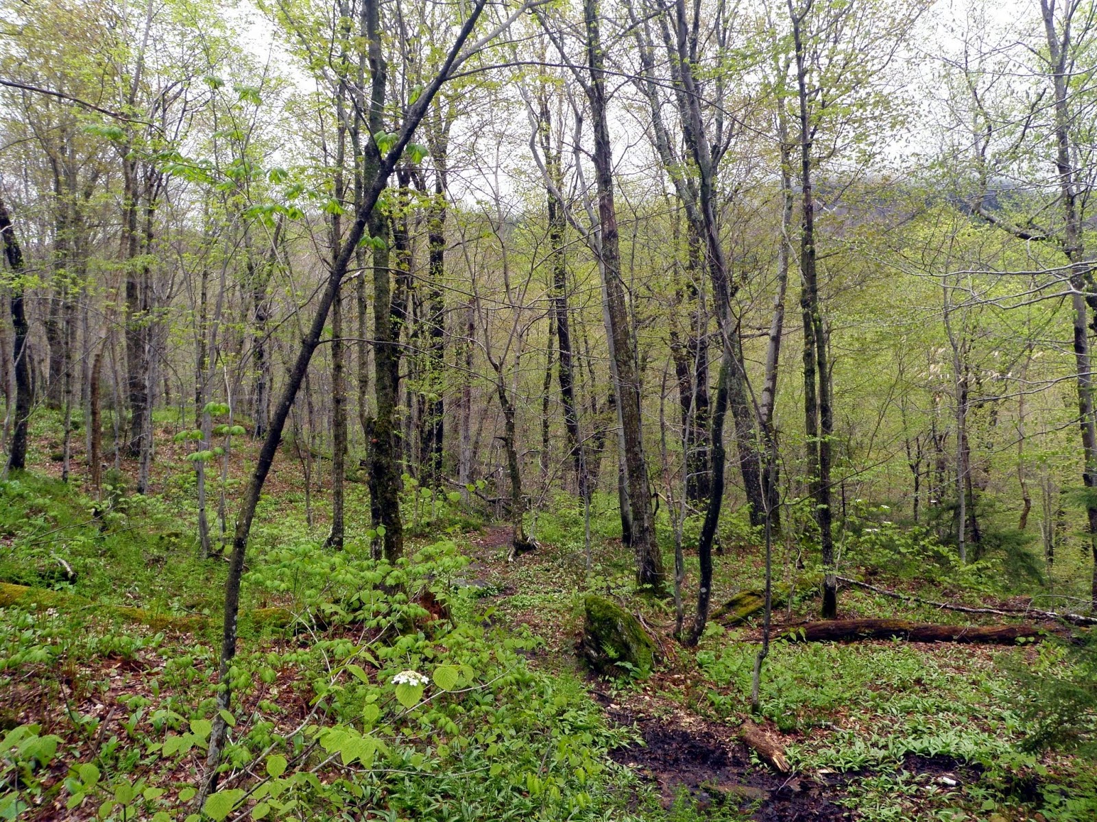
Walking in the open woods in between Mount Clark and Sugarloaf Mountain, which is a spur of Mount Clark.
Back to the trail junction for the quick hike back to Taylor Lodge, and then we would continue back to the car.
Peter's Perch is located right outside of Taylor Lodge. There wasn't much for views today though due to the low clouds and rain moving through.
Two Canadian geese made an appearance along with the beaver that resides in the pond. After this it was a quick hike back to the car from here.
Not what we had planned to do originally, but a nice alternative in that it was a relatively easy hike with little to no rain on a slightly overcast day. The highlight of the day had to be the Clara Bow Trail and the cave with it's ladder setup to maneuver through (kind of like a mini Mahoosuc Notch). It was a good day out in the woods with Desi. A very quaint area and a nice place to possibly spend the night.


