Elevation gain: 1920 feet
Trails used: Welch-Dickey Loop.
Highlight(s): ledge views, nice popular loop hike.
It was Desi's decision on where we would hike Sunday, and she would choose Dickey Mountain and Welch Mountain (or Dickey-Welch as it is known in local terms). This would be our second hike up this peak, the first being back in 2009. This hike starts off as a pleasant hike interspersed with a few steep stretches that go up some exposed granite slabs.
Dickey Mountain and Welch Mountain are located in Waterville Valley and Thornton, New Hampshire and also in the White Mountain National Forest. There are really nice views from the ledges leading up to and on/around the Dickey Mountain and Welch Mountain summit areas.
We would do the loop by doing Welch Mountain first and then Dickey Mountain second.
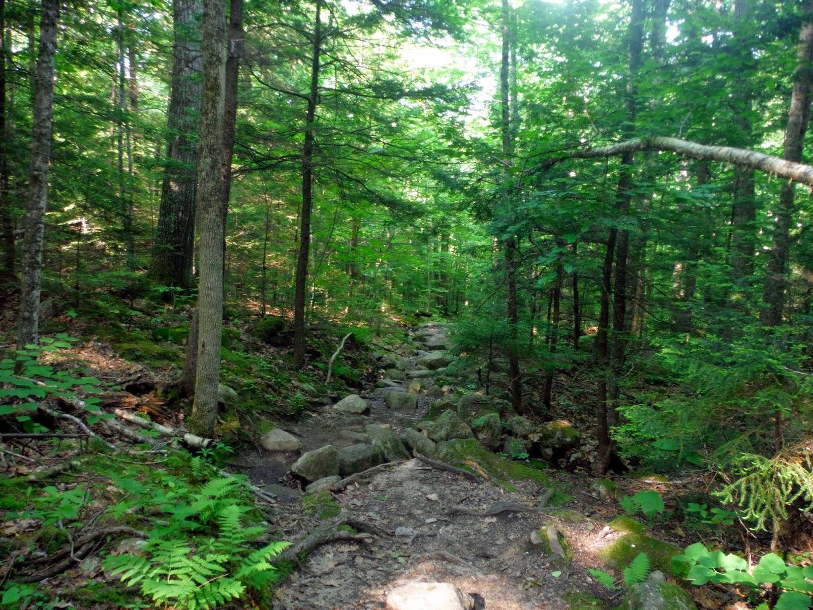
This was the only "major" water crossing that we would have to do on this hike, which was easy to do by hopping across the rocks carefully.

The sun was out and shining bright early in the morning. This was going to be a nice, warm sunny hike with some nice views.

The trail is well marked in yellow blazes throughout the whole hike, both on tree's and rock's. There are even some area's where they were doing some maintenance.


A little less than a mile and a half into the hike, you come out on some open ledges and your first views of Welch Mountain. Please stay on the trail to protect the fragile alpine vegetation. It's roughly half a mile from here to the summit of Welch Mountain.


Views over to Sandwich Dome, with Acteon Ridge in the foreground from the lower ledges heading up to Welch Mountain.

Looking over to the Tripyramids with it's three summits, and Scaur Peak at the southern end from the lower ledges heading up to Welch Mountain.

There are ledges galore for the upper portions heading up to Welch Mountain's summit and over to Dickey Mountain.

Desi climbing up a steep stretch of smooth slab with the Weetamoo Mountains's in the background. The lower ledge area that we were on minutes ago is right below us. The Campton Mountain Ski Area is visible to the right.

Greg working his way up the ledges and looking back to admire the views as we head towards the summit of Welch Mountain.

Looking over towards the ledges on Cone Mountain, a trail-less peak close by to the Dickey-Welch loop hike.


A good amount of yellow blazing on the rock tells you which way to go.

We had to squeeze through these two slabs to continue climbing up towards the summit of Welch Mountain.

Greg working his way up the rock slabs and ledges as we head to the summit of Welch Mountain. Some sections were fairly steep but not too bad to hike up.

Looking towards Cone Mountain and Mount Moosilaukee from the summit of Welch Mountain (elevation 2605 feet).

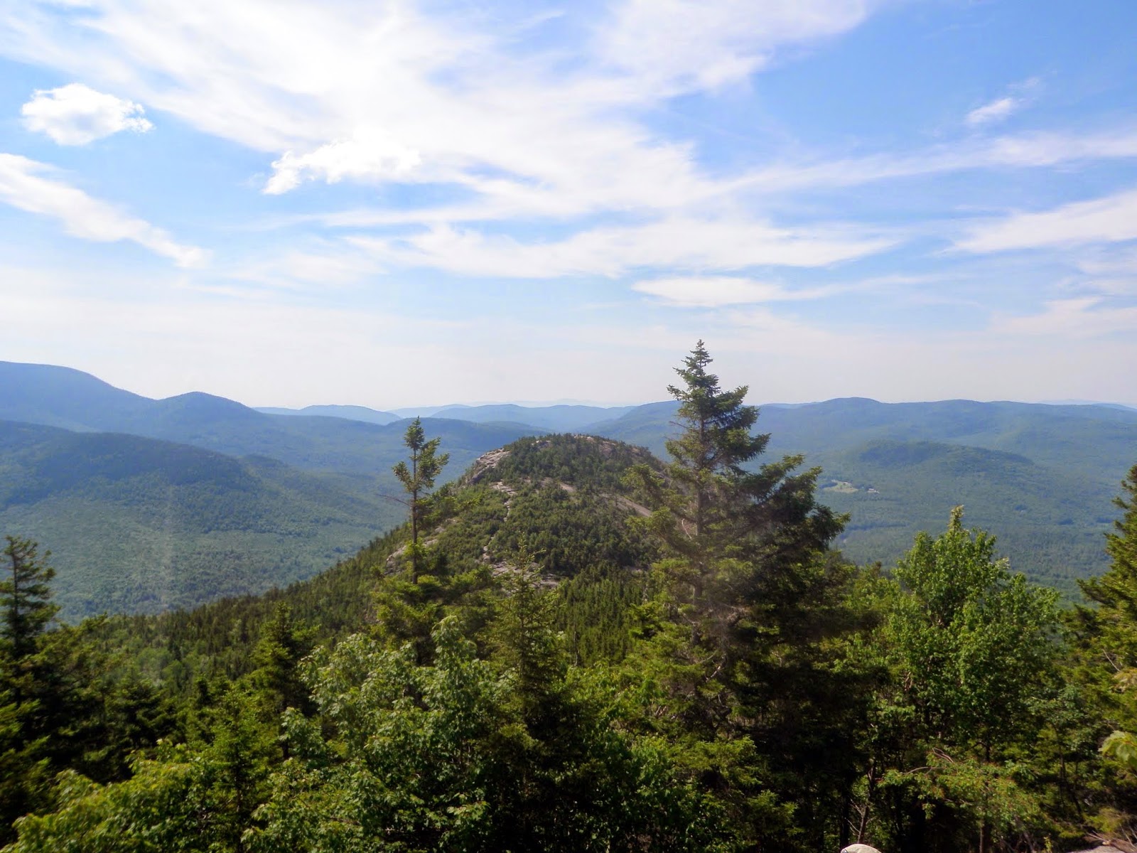
Looking back towards the summit of Dickey Mountain from Welch Mountains summit.

A huge rock cairn (that seems to grow every time I see it) that is in the col between the summit of Dickey Mountain and Welch Mountain.

You head back into the woods and wind your way up to the summit of Dickey Mountain.

Looking back towards Welch Mountain and it's ledgy summit. This was taken from just below the summit of Dickey Mountain (elevation 2734 feet).

Looking north towards Franconia Ridge and Cannon Mountain from the ledges just below the summit area of Dickey Mountain.


Looking down towards the ridge as we were hiking down from the summit of Dickey Mountain.

Hiking down the steep slabs on the ridge coming down off Dickey Mountain. Icy conditions makes this hike a bit more challenging.

The views looking back towards Welch Mountain as we hike down from the summit of Dickey Mountain and on our way back to the car.

Desi working her way down the open slabs coming down off of Dickey Mountain.


Another decent view looking back to the summit's of Dickey Mountain and Welch Mountain.

Once you get back into the woods, you hike down this nice set of stone steps.

Towards the end of the hike, you come across this old cellar hole.

This hike is a beauty of a hike. If you want something with a lot of bang for your buck, do this one. It has everything; nice woods, views, and lots of ledges. Another thing it does not lack is human interaction. On a nice day, expect this to be a busy day on the peaks.


