Mileage: 9.2
Elevation gain: 4490'
Trails used: Colorado Trail, North Mount Elbert Trail.
I was given good information about hiking in Colorado during the summer. Hike Monday through Thursday, arrive early and usually the trails are lighter. So I decided to hike this on Monday the 28th and I did indeed luck out. The weather held out long enough for me to summit the highest peak in Colorado, and my main hiking objective while I was on vacation in Colorado for a family reunion.
I hiked this peak with Rita, my brother's sister-in-law and while she didn't make the summit, she did an admirable job at staying jovial and hiking to at least 13000 feet where she decided to turn around since she was going at a slower pace and the altitude was catching up to her.
Mount Elbert is the highest peak in Lake County, the highest peak in Colorado and the highest peak in the Sawatch Range and Rocky Mountains. It is also a fourteener, a mountain that exceeds 14000 feet in elevation and the 21st highest peak in the United States.
The start of the North Mount Elbert Trail Head in the Half Moon Creek area.
Kiosk with information at the trail head.
The first part of the trail starts off as switchbacks and stays like that pretty much until we would get into the alpine zone.
The Class 1 trail was easy to follow and the trail was well maintained.
Looking back to Emerald Lake which is near where the North Mount Elbert Trail head starts.
Possibly a fireweed, which was seen right off the side of the North Mount Elbert Trail.
The North Mount Elbert Trail branches off of the Colorado Trail and then switchbacks its way up to tree line at about 12000'.
A familiar bird here in New Hampshire. He ate a twinkie right out of my hand much to the delight of Rita, who had to try it later while I was working my way to the summit.
More Class 1 trail action plus rock steps. All of the trails I visited were in pretty good shape (minus the Manitou Incline Trail, see separate trip report).
An old gnarly tree that was right along the trail, with some fire damage to it.
First glimpse of Mount Massive before we got to the alpine zone.
Our first glimpse of the long ridge up to Mount Elbert.
My brother's sister-in-law, Rita, who accompanied me on this hike. She looked back to admire the views we were finally starting to get. Looking back to the Leadville area.
A nice rest area/camping spot that we would use just before we began to head up. The tree made a nice place to sit down and rest for a few.
The north-northeast ridge heading up to Mount Elbert and Mount Massive in the background.
Starting to climb into the alpine zone, and it is definitely getting steep.
I managed to take quite a few pictures of Mount Massive, as it was almost always in view.
Heading up the ridge to Mount Elbert's summit, which goes up and over this false summit.
The southeast ridge that heads over South Elbert and back down to the trail head. I saw several guys hauling mountain bikes up to the summit that were going to use this route to head back down to the bottom.
I am still heading up slowly. This is another one of the false summit's for Mount Elbert. I was trying to beat the storms that were slowly making their way towards us.
The long ridge back down to tree line, where Rita was waiting for me to return. Quite a few people were turning around and going down, both because of the weather and some overestimated the intensity of the hike.
It still looks like a long way to go but it was a steady climb once you got out of tree line.
When you get views like this while you are climbing up, you just can't complain about the hike.
Now why did I take this picture. See if you can see the animal hidden in the photo.
Can you see it yet? A White-tailed Ptarmigan almost dead center. I almost missed it if I didn't catch a glimpse of it moving.
Another false summit. It seemed like there was about 5 of them on the way up, which always makes it a bit frustrating when you think you're almost there.
It seems like a long way down. People actually climb up through here in the winter.
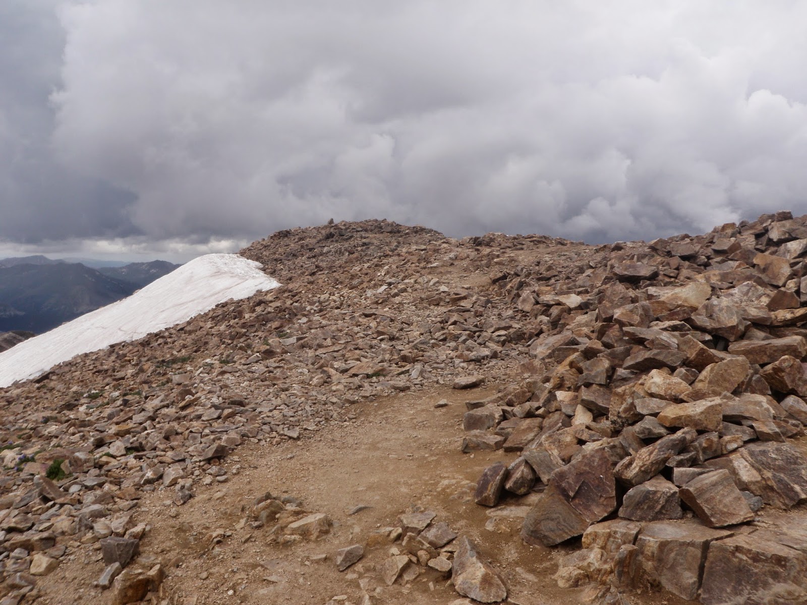
Finally, the summit of Mount Elbert pops into view. I was the only one on the summit at the time which was rare for all of the hikes I did while on vacation.
The summit sign for Mount Elbert (elevation 14433') and this signed Navy Seals flag which was really neat and somber to see.
Mount Massive (and its five summits over 14000') and the rain storm moving in over it.
More views, more storms. That was the norm for the hike today.
A marmot came out to see what was happening. You will see a lot of marmot and Pika out here while you are hiking. There is also good chances of seeing mountain goats and maybe elk.
Pretty purple flowers. These were in abundance along the trail heading to the summit.
I call this "Lone Sentinel of Mount Elbert". This pika never moved from this spot. His only job was to alert other pika's in the area of human's being around.
I don't think I am going to beat this storm back down to the car (and Rita and I didn't).
Heading back down the North Mount Elbert Trail and the storm was getting closer.
Rita and I started heading down the trail back to the car. I wish more trails in New Hampshire were this nice and clear to travel on.
You could see the thunderstorms brewing over Mount Massive.
We moved at a quicker pace to get back down to the trail head.
We made it down the trail to right around here and had to put on the rain gear. We were still about a half mile from the trail head and car, so we hurried back down as the storm moved in.
We managed to hit the car just as a thunderstorm dumped pouring rain down. Now it was time for the long drive back into Denver, which is always fun due to heavy traffic and construction. First we decided to stop in Leadville to get some food and then head back to our respective hotel rooms.
Overall, a good day. While Rita did not make the summit, she gave it a good try. It was probably a bit much to have expected from her and I most likely should have done something a bit more in her range, but she is always smiles and chipper. Even when I was winded and turned back to see how she was doing, she was smiling. She got the best of me though two days later on the Manitou Incline Trail (see the report here).
I accomplished what I set out to do in my time in Colorado this go round though. I made it to the highest summit in Colorado, and while the weather did not cooperate fully, I still managed to make the best of it. Perhaps we will go back to Colorado next year but most likely it will be in two years.