Saturday, February 28, 2015

Mount Eisenhower: 2/28/2015

Mileage: 8.5 miles
Elevation gain: 3270 feet
Trails used: Crawford Connector, Crawford Path, Appalachian Trail, Mount Eisenhower Loop.


What a way to end February.  Based on the weather forecast, our main plan was to head up and get Middle Carter since I still needed that one for my AMC winter 48.  While we were driving through Twin Mountain though, the Presidential Range was out in the open with nary a cloud around it.  So a quick check of the weather (which was quite a bit different from the day before) and off we went to do Mount Eisenhower, which was along our driving route anyways.

Mount Eisenhower is located in Chandlers Purchase, New Hampshire.  It was formerly known as Mount Pleasant before it was renamed after President Eisenhower.  The shortest route to the summit (in summer) is via Edmands Path; the trail in winter would require a walk down Mount Clinton Road which is groomed for snowmobiling.  The Appalachian Trail runs over the summit of Mount Eisenhower on its way to Maine and/or Georgia (depending on if you are a northbound thru-hiker or southbound).

Mount Eisenhower is on the New Hampshire Four Thousand Footer's list, the New England/New Hampshire 100 Highest/New Hampshire 200 Highest List, and the New Hampshire 3k List.


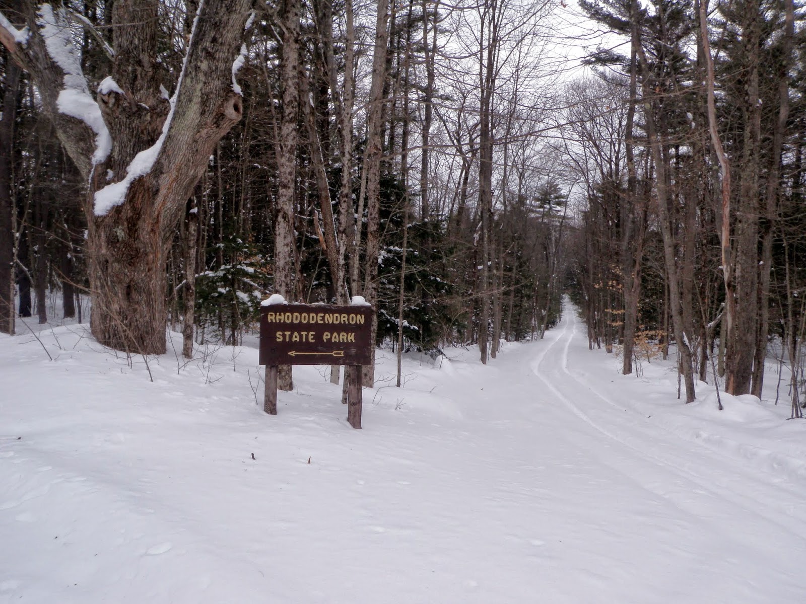
Brian is excited as he heads up the Crawford Connector trail so we can get to the Crawford Path which we would take up rather than doing the road walk and seeing if Edmunds Path was/is broken out to the summit of Mount Eisenhower.


The bridge over Gibbs Brook with the junction for the Crawford Connector and Crawford Path just on the other side.


We opted to bareboot instead of using snowshoes as the snow was hard packed so the snowshoes went for a ride today.


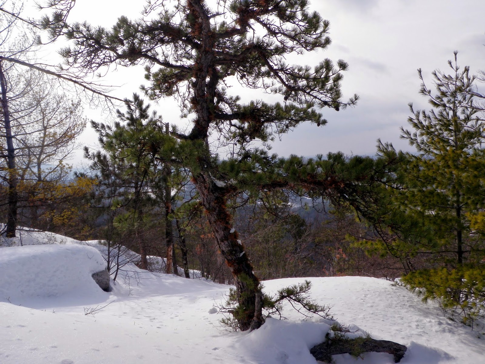
Brian just loves all the snow on the tree's.   The higher we got up on the Crawford Path, of course, the deeper snow and snow laden trees came out to play.


Hey, its still winter up here.  Just don't step off the trail.


Almost above treeline and the fine scenery with Mount Jefferson, Mount Monroe, Mount Washington and Mount Jefferson coming into view.


Hey, Mount Eisenhower looks so far away from where we are.  We bypassed going to the summit of Mount Pierce and headed over towards Mount Eisenhower.


The views heading up to the summit of Mount Eisenhower looking over towards Mount Isolation and Mount Davis with Kearsarge North in the background.


Looking up to the summit of Mount Eisenhower as it gets closer and closer.


Looking back towards Mount Pierce on the way to the summit of Mount Eisenhower.


Views looking south towards the Moat Mountains, Mount Chocorua, Mount Passaconaway and Mount Whiteface and the Tripyramids.


Mount Pierce, Mount Jackson and Mount Webster along the southern Presidential Range.  Mount Willey just above Mount Pierce, Mount Carrigain almost dead center, and Mount Passaconaway and Mount Whiteface to the left (in background).


The Willey Range, the Bretton Woods ski area, the Twins and Bonds Range with Franconia Ridge in the background from just below the summit of Mount Eisenhower.


Brian sitting on the summit cairn on the summit of Mount Eisenhower (elevation 4780').  It's usually a lot taller than it is now.


Looking further up Crawford Path towards Mount Monroe, Mount Washington, Mount Clay and Mount Jefferson from the summit of Mount Eisenhower.  It was in the clear all day.


The Doubleheads, Kearsarge North, the Attitash ski area in the background. Mount Isolation and Mount Davis are in the foreground.


Its not cold up here, honestly.  Me on the summit of Mount Eisenhower.


43 winter 4000 foot peaks for me.  A beautiful winter day to grab this peak.


Another view of Franconia Ridge and the Bonds Range, Willey Range and Twin Mountain Range with the Bretton Woods ski area to the left.


On the way back down, we stopped for a snack break and of course, some Grey Jays also stopped for their own snack break.


This Grey Jay looks like it was super imposed on the picture but I caught it as it was starting to take off after grabbing a piece of brownie off Brian's glove.


What a beauty of a winter day.  A good decision to hike this one instead as we usually don't get too many days like this (well, since we work Monday through Friday so Saturday and Sunday are our only days to hike).  On the way down, we passed roughly around 60 people heading up with half of them being a sizeable group of about 32 Korean's.  

The only downer for the hike was that I took a spill coming down off of the summit of Mount Eisenhower and twisted my knee awkwardly.  I still managed to make it down with almost no problems but the next few days after was a bit of a challenge.

Saturday, February 21, 2015

Mount Passaconaway: 2/21/2015

Mileage: 9.05
Elevation gain: 3090'
Trails used: Dicey Mills Trail.


We decided Friday to do Mount Passaconaway, one of the few winter four thousand foot peaks that I had left to do.  The weather was for mainly sunny skies with cold temperatures (-17 when we left Concord) but it did manage to warm up a bit during the day.  There was another snow storm coming for later in the day so this hike would hit the spot.

Mount Passaconaway is located in Albany, New Hampshire and also in the Sandwich Range Wilderness.   It's summit is viewless but there are several view points around the summit that offer nice views to the north and east.  


Mount Passaconaway is on the New Hampshire 4000 footer's list, the New England/New Hampshire 100 Highest/New Hampshire 200 Highest List.  


Brian knee deep in the snow behind the trail sign at the Ferncroft parking area.


We decided to take the direct approach up the Dicey Mills Trail, which goes through this private property (they allow hikers but do not park on their property).  Mount Wonalancet is on the right and the ledges heading up to Mount Whiteface on the left.


A side profile along Dicey Mills Trail looking at the ridge heading up to Mount Whiteface, and right around the Tom Wiggin Trail which makes a direct, steep approach towards Mount Whiteface and it's nice ledge area (just below the summit).


The side profile with the sun as a backdrop of Mount Wonalancet from the Dicey Mills Trail.


We originally started off barebooting our way up the Dicey Mills Trail but switched to snowshoes when we started encountering knee deep drifts of snow.


The Dicey Mills Trail does a few switchbacks (after the Rollins Trail junction) as it makes the roughly 0.7 mile hike to the summit of Mount Passaconaway.


The views on the way to the summit of Mount Passaconaway.  The Sleepers, Tripyramids, Fool Killer, Mount Tecumsuh and the Osceolas .


More views of Mount Moosilaukee, Franconia Ridge, Mount Garfield, Mount Carrigain, the Bonds, and Owls Head.


Even more views of the Presidential Range, Mount Carrigain, and the Mount Crawford/Mount Resolution/Stairs Mountain area.


Me on the summit area of Mount Passaconaway (elevation 4043'), which makes 42 in winter.


Views from the eastern view point (Walden Trail side) of the main bulk of the Mount Paugus area (in front) with Mount Chocorua behind it.


Looking to Bear Mountain, Big Attitash Mountain, the Moat Range, and Kearsarge North (in the background).


Hedgehog Mountain way down at the bottom of the view, with Bear Mountain, Mount Tremont, the Wildcat Range and Mount Washington all making an appearance.


A zoomed in view of Mount Chocorua from the ledge view point just below the summit of Mount Passaconaway.


A section of the Dicey Mills Trail coming down from the summit was in full on winter mode.


We made good time going up and even quicker coming down off of the summit.  When we first got to the parking area, there were a few people there for an AMC Boston hike; about 20 people with some doing Mount Passaconaway and then Mount Whiteface (and vice versa).  I even got to meet Keith from Hike-NH so add another face to to growing people I have met along the way.  

While this was one of the last few winter hikes I had left to do, it was one I had dreaded for some time based mainly on the length of the hike.  It turned out to not be as bad as I thought, although the last push to the summit through the drifts was a bit taxing.  Overall, a good hike which has been rare this winter.

Saturday, February 7, 2015

Black Mountain (VT) - Little Monadnock Mountain: 2/7/2015

While we had a few choices on Friday for our hike Saturday, Brian suggested doing a hike in Vermont.  We knew there was snow forecasted to start at some point in the day but we figured we could get a few hikes in prior to it coming down.  Unfortunately for us, the weather moved in quicker than predicted.  Our first hike was derailed by icy snow covered roads near Wilmington, Vermont and not wanting to mess with the driving in my car, we decided to head back the way we came and find a different hike.

Black Mountain (VT)

Mileage: 3.45
Elevation gain: 710'
Trails used: unnamed trail.

Brian had a copy of his Vermont Dayhikers Guide so we found another hike to do near Brattelboro, Vermont which would leave us close to New Hampshire for our return home.  The fun part was actually trying to find the trailhead to do this hike as the book and gazetteer did not match where the roads should be.

Black Mountain is located in Dummerston, Vermont and also in the Black Mountain Conservation Area.  It has a horseshoe ridge with several different summits, with the eastern summit being the best of the views.  The area has mountain laurel, pitch pine, scrub oak and red pines in various locations along the hike.  We came across a lot of deer tracks so wildlife is in abundance as well.

The main trailhead parking is off of Rice Farm Road.   


We found a trailhead for Black Mountain but it was not the main one off of Rice Farm Road, but the one off of Black Mountain Road.


Please respect the property as landowners let people use their lands for recreational uses.


There were several people hiking ahead of us so there was a good base for us to snowshoe our way up to the eastern summit of Black Mountain.


Along the trail, there are vast amounts of mountain laurel.  This trail is a gentle graded hike compared to the main trail off of Rice Farm Road.


Views looking into southern Vermont from a lower summit of Black Mountain.  


A rock wall of some sort on this lower summit with a pitch pine tree.


Another pitch pine on the ledges off the lower summit.


More views looking southwest into Vermont.


We made the roughly 1 mile hike to the actual summit of Black Mountain.  We overtook a group of cross country skiers to break out the old snowshoe track to the summit.


The actual summit of Black Mountain (elevation 1289').  


We decided to head back into New Hampshire to find something else to hike.  I think we spent more time in the car today than we did actually hiking, which sometimes is the norm for the day.

Little Monadnock Mountain

Mileage: 3.2
Elevation gain: 805'
Trails used:  Little Monadnock Mountain Trail.


I had always wanted to hike Little Monadnock for some reason so it seemed a good time to hike this mountain.  We figured there would be at least someone who had hiked here recently and we were encouraged when we pulled up to the park entrance and saw two trucks there.  We saw a fresh snowshoe track heading in so we geared up, put the snowshoes on again and began the hike. 

Little Monadnock Mountain is located in Troy and Fitzwilliam, New Hampshire and also in the Rhododendron State Park.  You can hike to the summit of this mountain via the State Park entrance or from the Metacomet-Monandock Trail which crosses over the mountain.


The road heading into the Rhododendron State Park where the Old Patch Place is located.


Brian walking through a rhododendron tunnel.  The best time to see the rhododendron bloom is in mid-July.  The snowshoe track ended right around the junction for the Little Monadnock Mountain Trail and the Laurel Trail.


We crossed through a recent (within the last few years) logging cut.  At this point, we were breaking trail through shin to knee deep snow until we got to the junction of the Little Monadnock Mountain Trail and the Metacomet-Monadnock Trail.


The Little Monadnock Mountain Trail is blazed in yellow rectangles so its easy to follow.


The only views one could get are from this ledge area just below the summit of Little Monadnock Mountain.  This is looking towards Mount Monadnock, which is clouded over.


The junction of the Little Monadnock Mountain Trail and the Metacomet-Monadnock Trail which runs over the summit of Little Monadnock.  From here to the summit, it was knee to hip deep snow for the "longer-than-.1-mile" hike.


Another look back towards Mount Monadnock and Gap Mountain (dead center).


A tired Brian on the summit of Little Monadnock Mountain (elevation 1899'.  There are different ranges for this mountain such as the 1883' on the summit sign).


We turned around and made the quick hike back to the car.  We lucked out with this hike as there was no snow to worry about, other than the horrible stuff we had to hike in.  Both hikes were fairly quick and would be even more so in the spring/summer/fall months when there is no snow.