So I met Brian at the exit 17 park n ride and off we headed for a drive up north after we stopped for fuel and the usual drink/food pit stop. The day turned out to be a mixed bundle weather-wise as we had our first snow of the season, and it rained on the last two hikes.
Russell Pond Peak
Mileage: 4.60Elevation gain: 1110 feet
Trails used: none. road walk, logging road hike, bushwhack.
Highlight(s): open woods, Russell Pond Recreation area.
We had hiked the two Russell peaks to the north of the Russell Pond campground last year; our objective today would be to tag the peak nearest to the campground and Tripoli Road, which has Russell Crag as a spur from its main summit. We would use the closed campground road to hike up and then bushwhack to both summits (which are of almost equal height) to make sure we had the high point.
Russell Pond Peak is located in Thornton, New Hampshire. Russell Pond Campground is located off of Tripoli Road and has 86 sites, with flush toilets, warm water and coin operated showers. Boating, fishing, having a picnic and camping are all done from this campground. The hike up to Russell Pond Peak is trail-less and requires a bushwhack to reach its summit.
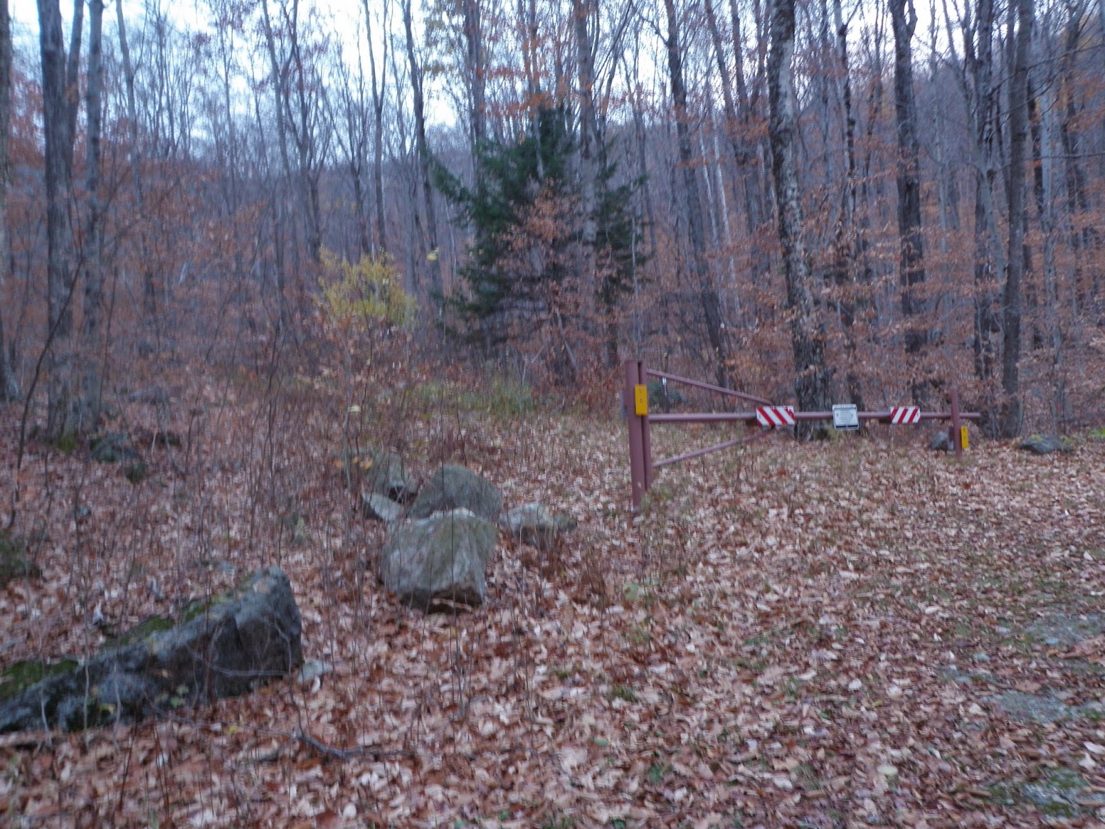
Russell Pond Campground
We
turned to head up this old forest road but realized it didn't go towards
our intended objective so we abandoned it and headed straight up to the
ridge which involved a steep climb.
The
highest of the two summits of Russell Pond Peak (elevation: 2071 feet), of
which we bushwhacked to first through mostly open woods.

A section of ledge just below the second summit of Russell Pond Peak, but it was overcast so there would be no views from here this morning.

On
the other side of the second summit there was this massive blow down
field that offered a small glimpse of Mount Moosilaukee and part of the
ridge to the Kinsman Notch area.

We
bushwhacked back down to a snowmobile trail, and then road walked
back to the car for a quick easy 4.5 miles. I even managed to leave a
pair of gloves behind somewhere.

The road walk back at least offered a slight view into the Thornton Gap area in between the Osceola Mountain's and Mount Tecumseh.

Our next hike was almost right around the corner from where we were (well, not really) so once back to the car, we headed off. The next peak is clearly visible from Route 3 and even has a scenic overlook named after it. The only challenge would be to find a good access point to begin the hike.
Cleveland Mountain
Mileage: 2.1Elevation gain: 600 feet
Trails used: none. ATV trail, bushwhack.
Highlight(s): open woods, open woods summit area, view off of ledges below the summit of Cleveland Mountain.
This hike was to one of the few 300 peaks left that are on some unofficial 300 Highest Lists but not on the one Brian and I worked through. So, we decided to tie up loose ends and finish this peak off once and for all. We were pleasantly surprised with this hike, both because of how nice of a hike it was and because we got our first snow of the year.
Mount Cleveland is located in Bethlehem, New Hampshire and sits to the southeast of town. Yes, it's that Mount Cleveland of the scenic vista fame off of Route 3 heading towards 302 and Twin Mountain, New Hampshire. There are very few ways to actually do this bushwhack as the logical way (up Mount Cleveland Road and an old trail up) is through private residences/property.
*Please be respectful of the summit of Cleveland Mountain. The property owner does not mind hikers so please treat this area and whatever you may find here with some common courtesy.*
It started off as a bushwhack but eventually we found evidence of ATV activity so we used it to get closer to the summit area for Cleveland Mountain.

Eventually
the ATV trail started leading off in the wrong direction, so we had to
bushwhack once again. We came across this awesome moose area on the way
up to the summit.

Brian
on the summit of Cleveland Mountain (elevation: 2404 feet). Lo and behold
we found a yellow X on both rock piles on the summit. Yes, that is snow
falling and not ghost orbs.

The snow started collecting pretty good on the summit area but it didn't last for long.

This very old piece of equipment, maybe an old snowmobile that was just below the summit of Cleveland Mountain. Please leave stuff where it is.

We reversed course as it snowed and made a quick bee-line for the car. This hike was nice as we could use various ATV tracks to make it up to the summit, as well as various herd paths. We decided to do another impulse hike and after finding a good place to start the bushwhack, off we went. Little did we know what a surprise we would find.
Lewis Hill
Mileage: 1.55
Elevation gain: 385 feet
Trails used: unnamed trail, bushwhack, road walk.
Highlight(s): nice woods walk, unofficial trail to summit.
Highlight(s): nice woods walk, unofficial trail to summit.
We decided to try another peak in the area that is pretty much located across from the auto road that goes up Mount Agassiz. This was another one that you would have difficulty accessing as there are private property issues and houses that surround the peak. So we decided to park off of 142 and headed into the woods, hoping that the woods would not be bad as we bushwhacked to the summit of Lewis Hill.
Lewis Hill is also located in Bethlehem, New Hampshire and has no trails to its summit area or so we thought. We came across a recently blazed trail and it was still rough in spots so I am sure it was made by the locals in the area. The summit of Lewis Hill is wooded and view-less but we managed to find a spot or two along the trail that had semi decent views.
We parked on the side of Route 142 in Bethlehem and headed into the woods. It
had stopped raining/snowing at this point but it was still dreary out. Luckily, the woods were wide open and easy to walk through.

We
scored! On our way up, we came across this flagged, recently cut
unofficial trail so we decided to follow it to see where it went.

These
views, or almost/"just kidding" views were the norm for today. This was taken at a
switchback view spot from the unofficial trail that goes up to the summit of Lewis Hill.

The
trail actually does goes all the way up to the summit of Lewis Hill
(elevation: 2076 feet). The trail continued around and to the west but we
did not follow it to see where it went.

We reversed course and followed the trail back to where we first picked it up and then continued on to where we figured it would start. It just happened to be in someone's driveway, so we kept moving and had a short road walk back to the car. We figured we could get in one more hike before the weather worsened but we were wrong.
Beech Hill (New Hampton)
Mileage: 1.25
Elevation gain: 430 feet
Trails used: road walk, bushwhack.
Highlight(s): woods road walk, open woods bushwhack.
Highlight(s): woods road walk, open woods bushwhack.
This
would be our last hike of the day, mainly due to the worsening weather.
The rain/snow that was predicted for the day and into the night
started to manifest itself as rain that got heavier as we did this hike.
This was purely a last minute decision as there was a recent report
for this one I had read and wanted to see how easy it is.
Beech Hill is located in New Hampton, New Hampshire. The summit of Beech Hill is wooded and view-less. There are no trails to this peak so it would require a bushwhack to reach the summit of Beech Hill.
We would
take Beech Hill Road, which is a class VI extension of Sky Pond Road.
We parked around the corner at the Sky Pond boat launch.

There was open wet woods for us to navigate through on our way to the summit of Beech Hill.

Brian on the summit of Beech Hill (elevation: 1490 feet) besides its new jar register, which was not placed by us.

We
bushwhacked back down towards Sky Pond, which is shown here. By then
it was raining pretty good so it was time to follow the pond back to the
car and call it a day.

Overall, it was a mixed bag of decent hikes and fair to poor weather. Late fall really is hit or miss when it comes to whether you will have decent or horrible weather and it showed today. The one real positive out of today's hike was that I reached the 750 mileage total we set up to do at the beginning of the hiking year 2014.
No comments:
Post a Comment