Round Mountain (Stoddard)
Mileage: 3.25
Elevation gain: 795'
Trails used: Bacon Ledge to Trout Pond Trail.
My first hike brought me to one of several named Round Mountain's in New Hampshire. It's like Bald Mountain, Haystack, Black Mountain or Beech Hill; there's a lot of them and although sometimes they are known by different names, whoever placed the names on the maps is unimaginative.
This particular Round Mountain is located in Stoddard, New Hampshire and to the east of Mill Village. The trail head with limited parking is located off of Shedd Hill Road, which is rough in a few sections but I didn't have any issues in my Civic.
I started the hike at this gate but the actual trail is about 150 feet down the road and there is parking for about 2 cars.

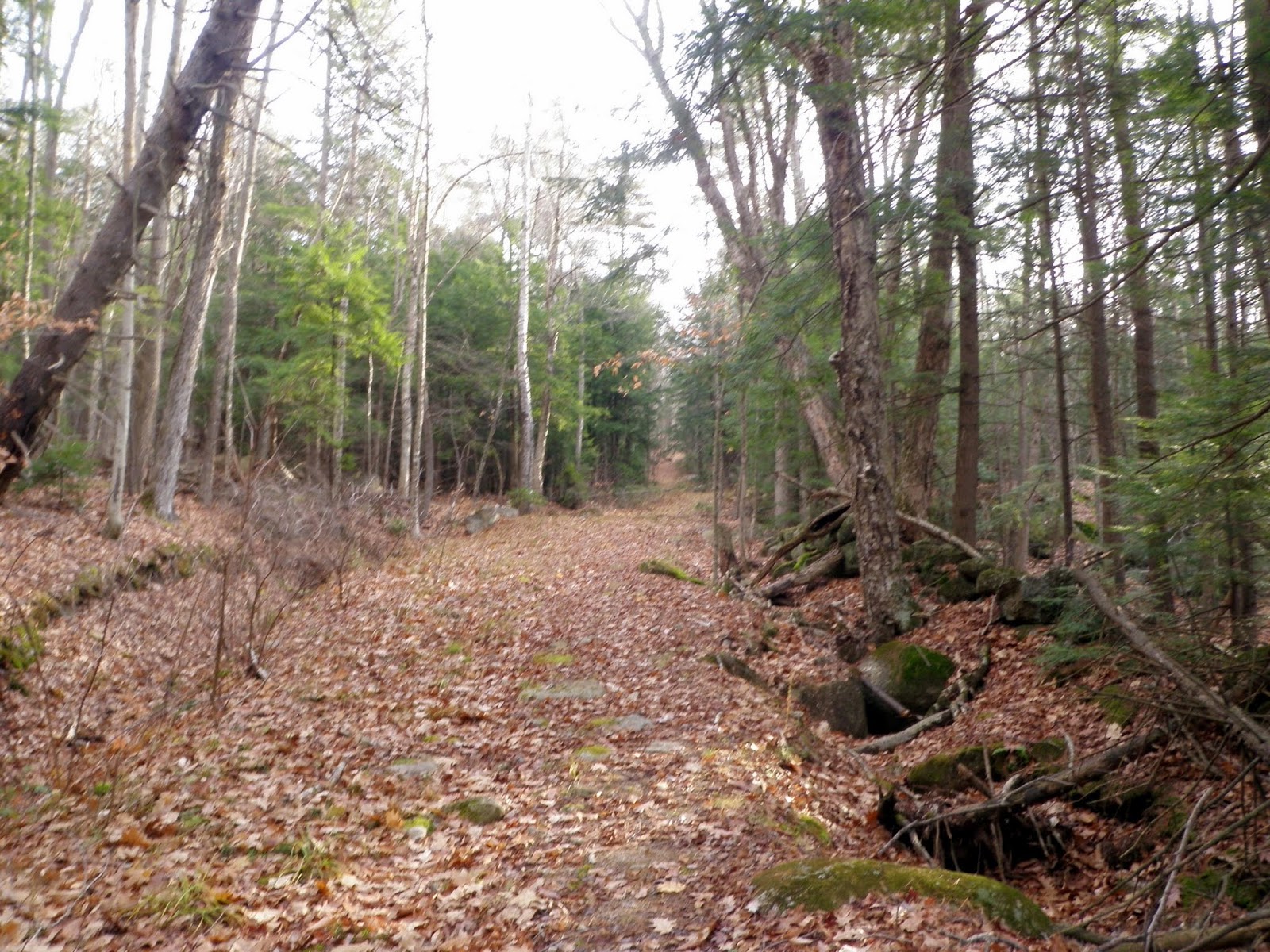
The "trail" is an old woods road for the first half mile.
Eventually you hop off the woods road and onto the trail proper. It is blazed in yellow so it's pretty easy to follow, especially at this time of year.

Another nice section of trail. Make sure to pay attention to the yellow blazes, some of which are faded like the one on the tree to the left.

Heading up to the Bacon Ledges. This was probably the steepest part of the hike.
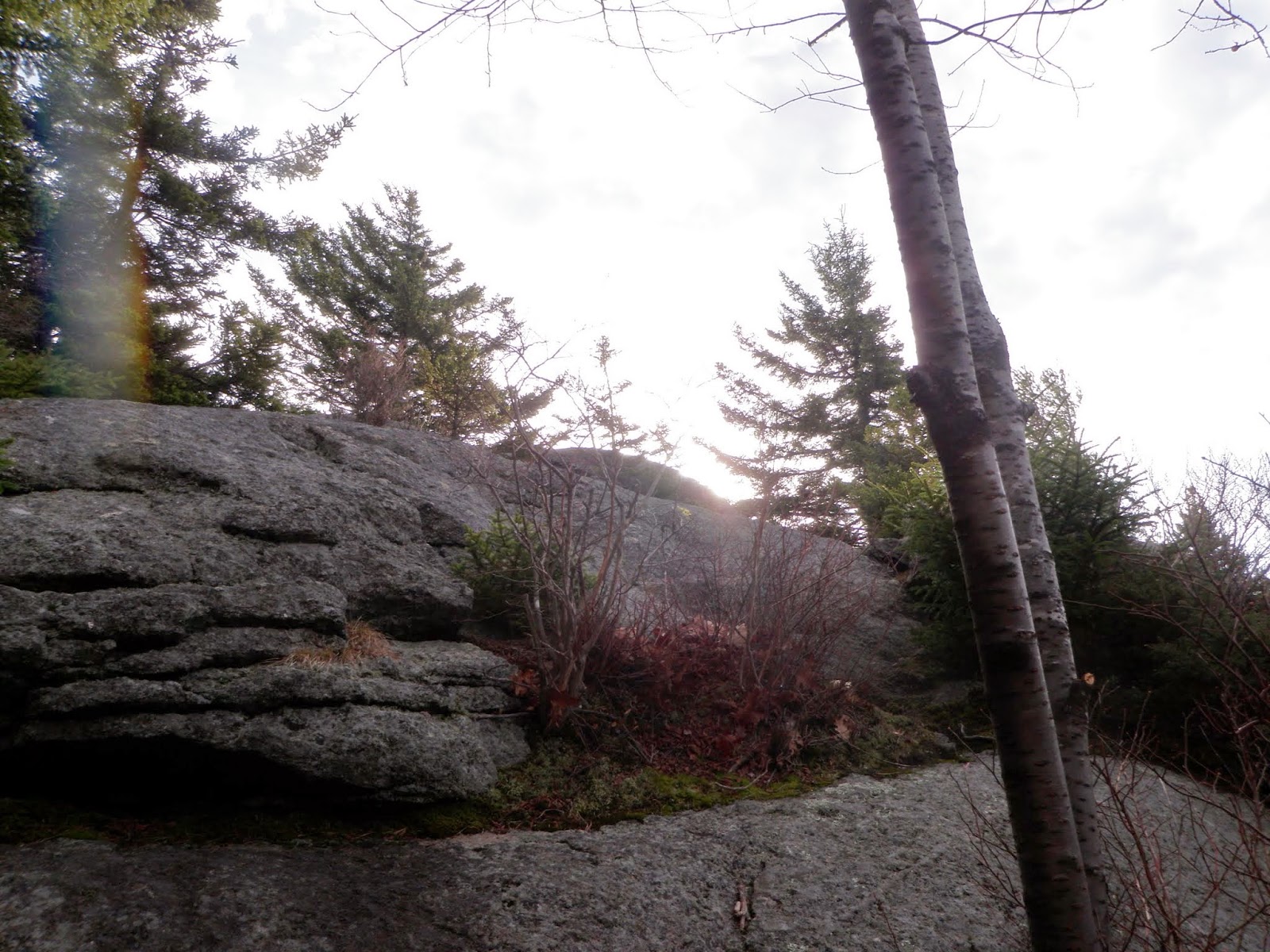
These were about the only views you can get from the Bacon Ledges unless you poked around in the woods and on the ledges themselves.


The wooded summit of Round Mountain (elevation 1958'). The trail does continue on and one can make a loop hike of this hike also.

A parting view heading back down from the Bacon Ledges.

Heading down the trail and back to the car.

The actual trail head sign which was about 150 feet down the road from where I started.

Dakin Hill - Melville Hill
Mileage: 4.20
Elevation gain: 841'
Trails used: Monadnock-Sunapee Greenway, bushwhack.
Hike number two was roughly in the same area. I had always wondered what the hiking trail was off of Route 9 and a quick glance at the gazeteer pretty much gave me my answer.
I parked at the hiker parking area off of Route 9 and spotted the white blaze which signifies the Monadnock-Sunapee Greenway. The duration of this stretch of the MSG is along roads and old logging/woods roads so while it does have some elevation gain, I did most of mine on the bushwhack portion of this hike.
Look for the white blaze on the trail across from the parking area. The trail requires you to walk down towards this water crossing and under the bridge.

You road walk up Nye Road and turn into the woods at a large white house.

This section of the trail, which felt like the only part of the "trail", runs right beside a pond.

As you walk along the trail/road, you cross this power line cut. There were about 5 trucks parked here; all hunters out enjoying hunting season.

A lot of this area has been clear cut in the past, so it made for easy going up to the summit of Dakin Hill minus several area's of pricker bushes.

The clear cut summit of Dakin Hill (elevation 1955'). It was mainly dead ferns and pricker bushes and deer/moose heaven. I passed a hunter on the way up and he told me there were several deer in the area which made me nervous since it was hunting season.

Someone was using an ATV to move around between the summits. I am guessing these are also snowmobile trails in the winter.

The wooded summit area of Melville Hill (elevation 1958') is marked by the old cairn.

Wide open woods on the bushwhack back down to the trail. Good thing they were wide open so any hunters would see me walking around in the woods.
Even more open woods goodness. It's these type of woods that make bushwhacking fun.

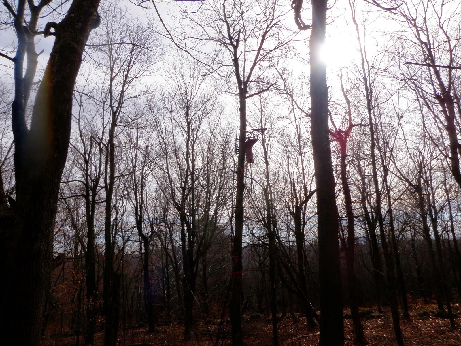
I came across no less than three hunter blinds as I descended along the ridge of Melville Hill back down to the woods road/trail.
The water crossing going back to the car. You walk under the bridge and across. You can see the white blaze for the MSG on the left.

Rollstone Mountain - Holt Hill
Mileage: 2.75
Elevation gain: 905
Trails used: none. bushwhack.
Since I was done rather early with the first two hikes, I decided I had time for a third one. I had trouble finding a good access point for this one a few months ago when I was in the area. This time I found a good spot right off of Route 123 almost directly across from Rye Pond.
Rollstone Mountain and Holt Hill are located in Nelson, New Hampshire off of Route 123. They are also located directly to the east of Bald Mountain in Hancock, New Hampshire. I had to wonder why Holt Hill is a hill and Rollstone Mountain is a mountain as one is higher than the other. Here is a map for both peaks and other peaks located in the Harris Center SuperSanctuary.
Supposedly there are snowmobile trails in the area but I am not sure exactly where they are located so potentially one could use these to at least hike in closer for these two peaks.


A nice three hike kind of day with decent temperatures and no precipitation. Round Mountain is a family friendly hike and can be turned into a loop to include Trout Pond and a few other peaks in the area. The other two hikes require bushwhacks of some length so take that into account.
Since I was done rather early with the first two hikes, I decided I had time for a third one. I had trouble finding a good access point for this one a few months ago when I was in the area. This time I found a good spot right off of Route 123 almost directly across from Rye Pond.
Rollstone Mountain and Holt Hill are located in Nelson, New Hampshire off of Route 123. They are also located directly to the east of Bald Mountain in Hancock, New Hampshire. I had to wonder why Holt Hill is a hill and Rollstone Mountain is a mountain as one is higher than the other. Here is a map for both peaks and other peaks located in the Harris Center SuperSanctuary.
Supposedly there are snowmobile trails in the area but I am not sure exactly where they are located so potentially one could use these to at least hike in closer for these two peaks.
This is where I parked my car which is part of the Harris Center Super Sanctuary.
Some sort of old structure was here. I couldn't tell what exactly but there are stairs and old metal bars nearby.
Now why did I take this picture. Can you see why?
This doe literally came within 15 feet of me and I don't think she realized I was there at first. She definitely startled me and I her. We played the stop and stare game for about 10 minutes before she decided to move along.
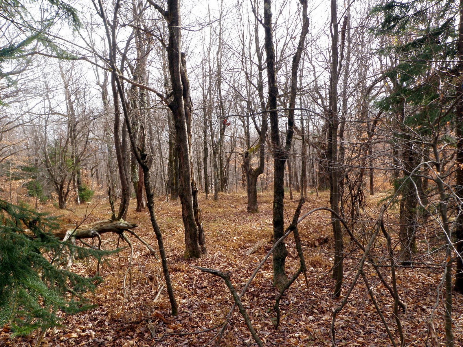
The woods were open the whole way, with moderate grades to the summit of Rollstone Mountain and all the way to Holt Hill.
The view-less high point for Rollstone Mountain (elevation 1781') with its rock cairn topper.
I came across this large cairn on the way to Holt Hill. This is NOT the summit.
This woods going up to Holt Hill (and for the entire hike pretty much) were about as open as a bushwhack could ask for.
The wooded summit of Holt Hill (elevation 1919' ).
More open woods goodness on this bushwhack.
On the way back down, I came across this recent logging cut which I used to make it a bit closer to where I parked the car.
A nice three hike kind of day with decent temperatures and no precipitation. Round Mountain is a family friendly hike and can be turned into a loop to include Trout Pond and a few other peaks in the area. The other two hikes require bushwhacks of some length so take that into account.
No comments:
Post a Comment