Crum Hill - Spruce Mountain
Mileage: 5.35
Elevation gain: 1565'
Trails used: Spruce Hill Trail, bushwhack.
We decided on trying a couple of peaks in northern Massachusetts to see how much snow is still left and estimate how long it will be before New Hampshire's higher summits are totally devoid of the horrible white stuff.
Spruce Mountain is located in Monroe, Massachusetts. Spruce Mountain is also located in the Monroe State Forest which in the 19th century a majority of it was farmland, and old growth forest sites. Click here for a map of the hiking trails in the area around Spruce Mountain. For more information on the Monroe State Forest, click here.
Crum Hill is located in Monroe and Florida, Massachusetts and is the highest point in Franklin County. The main summit of Crum Hill is located in Monroe; the western summit is located in Florida. The Hoosac Wind Power Project is the wind farm on Crum Hill and its minor summit, Bakke Mountain. It has a total of 19 GE turbines.
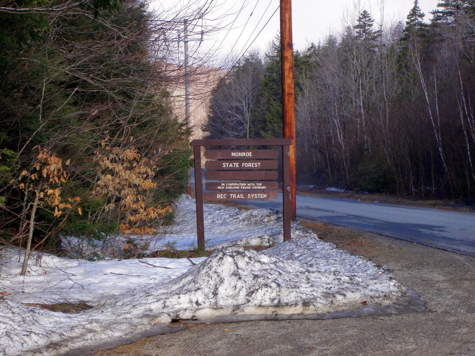
The parking area for the Monroe State Forest at the junction of Main Road and Raycroft Road in Monroe, Massachusetts.
A look at Dunbar Brook flowing nicely from a bridge heading towards the Spruce Hill Trail.

The Spruce Hill Trail starts about 0.3 miles down Raycroft Road and is blue blazed and easy to follow at the start of the hike.

Early on, the snow wasn't bad. There was enough spots of bare ground sticking up but as we gained elevation, the snow depths increased.

In several spots we had to look for the next blue blaze as they are very faint or a good distance from one blaze to another. We also crossed a few wet pond like areas.

We crossed a snowmobile trail and decided to see how close to the summit of nearby Crum Hill it would get us. With less than half a mile to the summit, we bushwhacked through sometimes knee deep snow to the summit of Crum Hill.

The summit area of Crum Hill (elevation 2841'). Since there are wind turbines up here, the treeline is as far as we would go so we weren't trespassing. Also, since the summit was blasted to place the turbines, its hard to tell where the highpoint is/was.

Heading back down through the deep soft snow, we made it back to the trail and took it up the ridge to the summit of Spruce Mountain (elevation 2730').

Just below the summit of Spruce Mountain is this ledge area with a small view of the mountains to the south, including the Berkshire East Ski Area. It also allowed us a few minutes to take our shoes and socks off to dry them out a little since they were soaken wet.

Coming down off the summit of Spruce Mountain. The woods were wide open the whole hike and we also managed to see a deer bounding through the area.

We decided to take the snowmobile trail back down instead of the hiking trail. We came across this beaver pond complete with gnawed on tree's.

Hiking on snowmobile trails in winter: pretty nice as they are packed down. Hiking on snowmobile trails in spring: rivers of water and very soft snow.

Hiking back to the car, we came across this interesting sight: a tree sitting smack dab on a good sized rock and still growing. You can see the roots burrowing into the ground.

Making it back to the car after a longer than expected hike, it gave us time to try and dry out our socks as they received a soaking from all the snow and water flowing on the trails. We looked at some of the books we had with us and after scouting out a few peaks, we drove along Route 2 until I noticed a tower on the top of mountain in Shelburne Falls and remembered seeing a sign for a fire tower. Sure enough, we pulled over and got ready for another hike.
Massaemett Mountain
Mileage: 2.50
Elevation gain: 1065
Trails used: Fire Tower Trail.
Sometimes, doing hikes like this where you drive from one destination to another works out perfectly. Other times, you feel drained and you almost force yourself to hike. Yet, this hike dropped in our laps on the way back to New Hampshire so we took it slow to make it up to the summit. The only issue was having wet socks from the prior hike and forgetting to bring a spare pair. Always bring extra clothes!!
Massaemett Mountain is located in Shelburne, Massachusetts. It currently has an active state fire tower on its summit and is the only stone tower still in use. On the other side of the mountain is the High Ledges Wildlife Sanctuary, where the highlight of this sanctuary is the High Ledge viewpoint.
The start of the Fire Tower Trail off of Route 2 and Halligan Avenue.

The trail starts off fairly steep but it is easy to follow. The trail looks like it goes through someones property as they were out cutting tree's down today.

Pretty self explanatory sign. Turn right here and head up to the fire tower on the summit of Massaemett Mountain via a few switchbacks.

The rock fire tower on the summit of Massaemett Mountain (elevation 1588'). There is a fire tower cab on top, and it was manned today (hence the ATV) but we could only go as far as the locked door. They do not let people in the cab, or they didn't today.

Views from the upper part of the fire tower on Massaemett Mountain of Mount Snow and
Haystack Mountain ski area's in Vermont.
Haystack Mountain ski area's in Vermont.

Zoomed in view of Mount Monadnock in southern New Hampshire from the fire tower on the summit of Massaemett Mountain.

What I believe is the Mount Tom Range to the south from the fire tower on the summit of Massaemett Mountain.

The second of two snakes we saw on this hike. So the tally on wildlife today was two deer, two snakes and 5 humans.

Two hikes with totally different feels. While the first hike was nice, due to us not bringing snowshoes and our clothing getting wet, the second hike was snow free and even a bit humid. Plus, I didn't take a backpack and Brian took his small daypack so it was nice not having anything heavy on my back. The weather managed to hold off until we were pretty much back to the Hillsborough Park n' Ride so all in all, a good day.
No comments:
Post a Comment