Deer Leap Mountain - Elbow Peak
Mileage: 6.2Elevation gain: 1925 feet
Trails Used: Sherburne Pass Trail, Deer Leap Trail, Deer Leap Overlook, Long Trail, Appalachian Trail, bushwhack.
Highlight(s): Appalachian Trail, Long Trail, views from ledges of Deer Leap Overlook, register on summit of Elbow Peak.
First up on my list of peaks to possibly hike was Deer Leap Mountain and Elbow Peak. I knew a majority of this hike was on the Long Trail/Appalachian Trail so I could utilize it for the bushwhack up to Elbow Peak, and then do a trailed hike up to Deer Leap Mountain for some nice views. The weather did not figure to play nice today so that would be the only kink in todays plans. It was forecast for very windy, cloudy with very little oppurtunity for long distance views.
Deer Leap Mountain is located in Killington, Vermont. Elbow Peak is located in Mendon, Vermont. Deer Leap Mountain can be reached by various trails and there are nice views from the Deer Leap Overlook, which is on the lower summit of Deer Leap Mountain. Elbow Peak is a mixture of trailed hike and bushwhack to its wooded and view-less summit.
Coolidge Range Hiking Map
I parked across the street at the hiker parking area in Sherburne Pass and crossed US 4 to get to the trail head. Be careful doing this as traffic comes up over a hill at pretty good speeds.

The start of the Sherburne Pass Trail is never really steep until it reach's the Appalachian Trail/Long Trail junction.

I would use the Appalachian Trail North/Long Trail to get to Willard Gap, bypassing the Deer Leap Trail on the way up to reach Elbow Peak, which requires a bushwhack to reach it summit. Willard Gap (Maine Junction) is where the Appalachian Trail and Long Trail separate.

I started the bushwhack to Elbow Peak just after the trail junction signs through open woods.

Me on the summit of Elbow Peak (elevation: 2808 feet). The jar was chewed to pieces and the register inside a total mess.

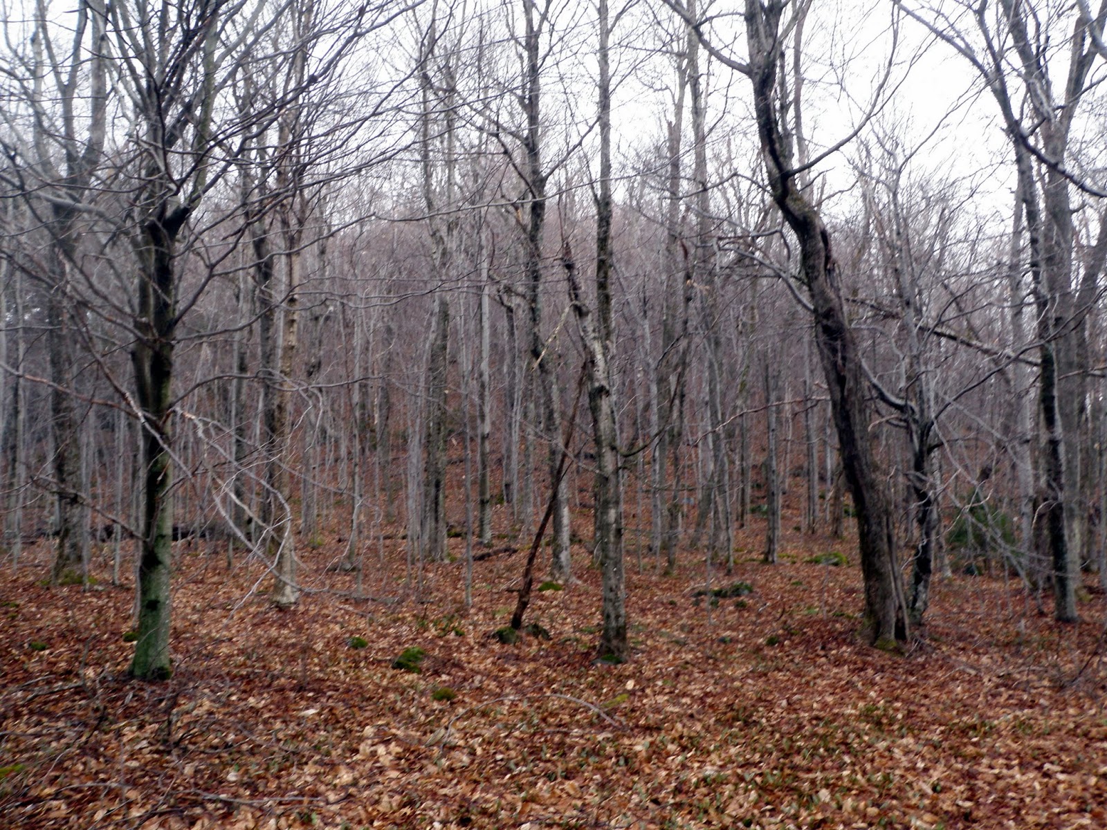
Wide open areas around the summit ridge of Elbow Peak. There was plenty of moose and deer activity up here.
The woods stayed open the entire way back down to the Long Trail. I would then continue on to Deer Leap Mountain to check out the views.

The Deer Leap Trail/Long Trail junction. Time to begin the climb up to Deer Leap Mountain.

The Deer Leap Trail goes straight up to start and does about 500-600 feet in elevation gain for the loop. It is blazed in blue and easy to follow.

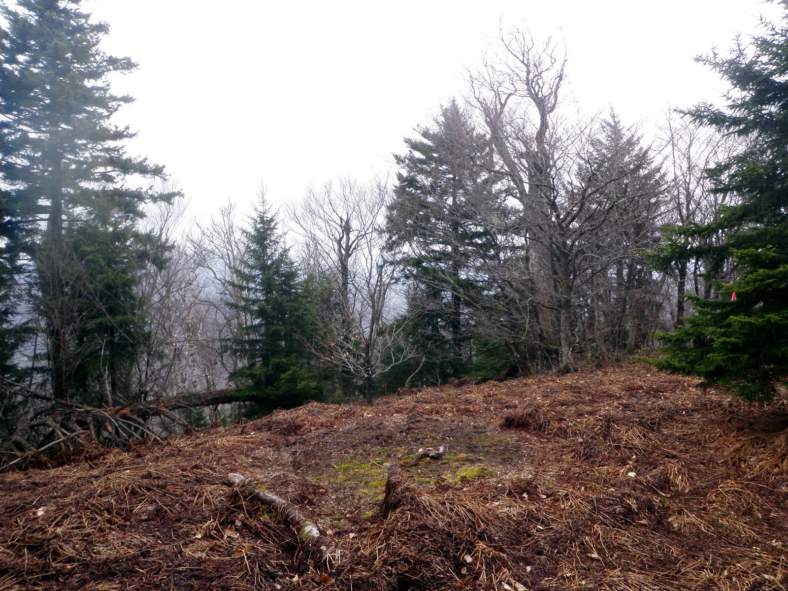
The summit area for Deer Leap Mountain (elevation: 2782 feet). The Deer Leap Trail does not go over the main summit so it was a small bushwhack up to here.

From the main summit of Deer Leap Mountain, I made my way over to the Deer Leap Overlook. Along the way, I got these views of Pico Peak (in the clouds) and Rams Head ridge.

A section of the Deer Leap Overlook Trail that goes down to the overlook. It was a wet mess from the rain's a few days before, so I had to be careful heading down.

The views through the trees looking back towards Deer Leap Mountain's main summit area from where I was just a few minutes ago.

Looking to the Pico Peak Ski Area parking lot and further into eastern Vermont from the Deer Leap overlook.

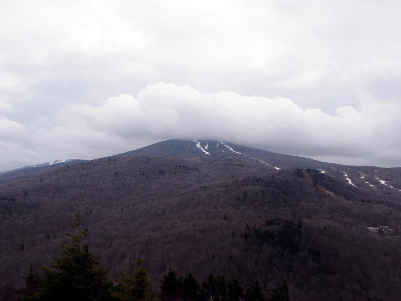
The views from the Deer Leap Overlook looking towards Pico Peak, which is still in the clouds. As you can tell, there is still some snow on the ski trails, even in early May.
Panorama views from the Deer Leap Overook with Pico Peak front and center, Blue Ridge Mountain and the main summit of Deer Leap Mountain.

This sign is right around the Deer Leap Overlook, which is heading down on the left.

There was even this set of stairs to get down to the Deer Leap Overlook.

I completed the Deer Leap Overlook loop and made my way back down the Long Trail/Appalachian Trail and headed back to the car. Since it was still early, I had time to do another peak that was nearby. Finding access to the peak would prove harder than the actual bushwhack it would be.
Wolf Hill
Mileage: 3.35
Elevation gain: 1140 feet
Trails used: none. bushwhack.
Highlight(s): open woods bushwhack, register on summit of Wolf Hill.
Wold Hill is located in Killington and Stockbridge, Vermont although the summit is located in Stockbridge. The wooded summit of Wolf Hill is view-less and requires a lengthy bushwhack to reach its summit.
I started from this old logging landing with a possible snowmobile trail. I would start off walking on the road then begin the bushwhack up to the summit of Wolf Hill.

Wolf Hill has a long ridge with several minor summits. I stayed on the west side of the ridge because quite a bit of it was a blow down mess. A bit after this area, I saw a moose (two in the last 2 weeks in Vermont), but I could not get a picture. I noticed fresh rubbings on the trees with fresh scat in the area.

The register on the summit of Wolf Hill (elevation: 2805 feet).

After a quick run to the summit of Wolf Hill, I reversed course and headed back the way I came. This was the better section of the open ridge walk.

I made my way back down to the road for the hike out rather quickly. While coming down, I happened on some fresh bear scat and could see where the bear was digging around in the ground. Add that to the fact I could hear it huffing nearby and i was in waist to chest high fir trees, and I didn't want to stick around and meet it.

I tried to get a fourth peak in for the day on the way home, Bly Hill in New Hampshire. You can practically drive all the way to just below the summit. Problem is, it is literally in someone's backyard. I did not see any stay out or no trespassing sign's nor did I see anyone in the residence but I didn't want to chance it and left. Well, after I took these few picture's first of the surrounding views.
There were nice views of Mount Sunapee from the end of the drive-able part of High Meadow Road in Newbury, Vermont.

I came across this butterfly not really sunning himself, since there was no sun. Anyone know what kind this is?

Looking into Vermont with Mt. Ascutney in the background.

More views looking into Vermont with Lake Sunapee visible.

Fun day to be out and easy mileage to boot. The weather didn't play nice today but it didn't rain so that was a bonus. It was a combination of trailed hikes with views and easy open bushwhack woods and it's easy to see why I love hiking in Vermont.
No comments:
Post a Comment