My Pages

Saturday, March 7, 2015

Middle Carter Mountain: 3/7/2015

Mileage: 9.15 miles
Elevation gain: 3435 feet
Trails used: Imp Trail, North Carter Trail, Carter-Moriah Trail.
Highlight(s):


This weekend I decided to re-attempt doing Middle Carter as several years ago when Brian and I tried it from the Nineteen Mile Brook Trail side, we encountered deep snow, heavy winds and I was a bit under the weather (no pun intended).  So we turned back shortly after reaching South Carter Mountain and well short of the objective.  This time I would redeem myself with a successful ascent.  The weather even promised to not be that bad.

Middle Carter Mountain is located in the Bean's Purchase Township and is part of the Carter-Moriah Range, which is to the east of the Presidential Range.  Middle Carter is the highest peak in the Carter-Moriah Range which also consists of North Carter Mountain, Mount Lethe, South Carter Mountain, Mount Hight and Carter Dome.  Only South Carter Mountain and Carter Dome are recognized four thousand footers.

Middle Carter Mountain is on the New Hampshire 4000 footer's list, the New England/New Hampshire 100 Highest/New Hampshire 200 Highest List, and the New Hampshire 3k List.  

We took the southern branch of the Imp Trail up to get to the North Carter Trail.  We passed under this power lines at the start of the hike.


Early on we would get some views (through the tree's) of Mount Madison and the southern Presidential Range.


The trail was hardpacked enough that we managed to bareboot our way up the Imp Trail.


Brian eating a snack at the North Carter Trail and Imp Trail junction.  There was no activity on the Imp Trail when we headed up, but there were snowshoe tracks when we came down.


The North Carter Trail was well packed down as three snowshoers passed us on the way up.  There were a few tree's across the trail requiring us to duck under to continue on.


We started getting views of the Presidential Range just before the junction with the Carter-Moriah Trail.  While it was cloudy for a bit, and we got around 5 minutes worth of snow, it was a mostly sunny kind of hike.


Some really nice views of North Carter Mountain, Mount Moriah and Shelburne Moriah and the northern Mahoosuc Range extending into Maine from along the trail heading over towards Middle Carter Mountain's summit.


Our destination for the day's hike: the summit of Middle Carter Mountain.  It was about to get hit with a brief bout of snow.


Brian walking up the Carter-Moriah Trail towards the summit of Middle Carter Mountain.


I honestly don't remember getting this many views from this trail.  This is looking towards the Baldface Mountains and surrounding area.


Surprisingly the Presidential Range managed to almost stay out of the clouds for the duration of this hike. 


The view from Middle Carter Mountain looking towards Mount Hight and Carter Dome.


Me on the summit of Middle Carter Mountain (elevation 4610').  This make 44 4000 foot peaks in New Hampshire in winter for me.


Views north into New Hampshire from Middle Carter Mountain.  The Crescent Range and the Weeks Mountains, Mount Waumbek and Mount Cabot all visible.


Another shot of the Presidential Range and Mount Washington.


Back to where we started the hike from.  This is the Imp Trail head which is off of Route 16.  There was room for a few cars at the somewhat plowed out trailhead.


While it wasn't a perfect winter day, it was a heck of a lot better than the last time we attempted this peak.  The result's were a lot better as well.  The amount of snow brought out the views that I didn't remember being there but it was a plus to the day.  The weather also managed to be a plus as it didn't snow on us and it wasn't as cold as our February hiking had been the past few years.

Tuesday, March 3, 2015

Gile Mountain (VT) - Wrights Mountain (VT): 3/3/2015

Originally I took today off to hike North and South Kinsman, which I needed for my winter AMC 48 but when I woke up, my knee wasn't feeling too hot from the beating it took from a fall coming down off Mount Eisenhower on Saturday.  So I looked for some easier hikes to do and settled on a few in Vermont.

Gile Mountain

Mileage: 1.4
Elevation gain: 400'
Trails used: Gile Mountain Trail.


I had noticed Gile Mountain in a book we have lying around the house so I did my homework online and found out the information needed to find this hike.  The weather was going to be nice for this hike with sunny skies and cooler temperatures but not the frigid days we've been having for the last few weeks.

Gile Mountain is located in Sharon and Norwich, Vermont and the summit is located in Norwich.  This relatively easy and short hike is made all the better by the fire tower that resides on its summit, with 360 degree views available.  This peak is a favorite hike for Dartmouth College hikers as it the college is somewhat nearby.


The Gile Mountain Trailhead kiosk off of Turnpike Road.  The lot was not plowed out from the last snow but it was plowed somewhat recently so it was easy to get my Civic in.


The Gile Mountain Trail was recently tracked out by snowshoers so I wore snowshoes from the car to the summit.  There was only about 2-3 inches of snow to walk in so it wasn't too bad.


The Gile Mountain Trail heads across this power line cut with views into New Hampshire.  It is also, apparently, being used by snowmobiles.


The Shredd Shack, the former fire wardens cabin turned into a day shelter.  It has some colorful graffiti and is pretty spacious.  No camping is allowed here though.


The fire tower on the summit of Gile Mountain (elevation 1873').  The cab has been removed but you can still climb to the top for 360 degree views of Vermont and New Hampshire, and on a good day, one can probably see into New York.


Views looking into western New Hampshire from the fire tower on Gile Mountain.  The Moose Mountain range is almost dead center, with Mount Cardigan just behind it sticking up.  Smarts Mountain is to the left.


More views from the fire tower on Gile Mountain.  Smarts Mountain and Mount Cube, Mount Moosilaukee, and the Franconia Ridge all in view.  The ski trails on Mittersill Peak and nearby Cannon Mountain can be seen (to the left).


Looking west into Vermont towards the highest peak in Vermont, Mount Mansfield.  


Possibly the Jay Peak ski area in Northern Vermont from the fire tower on Gile Mountain.


Views of Mount Ascutney in southern Vermont from the fire tower on Gile Mountain.


The views from the fire tower on Gile Mountain looking towards the Killington ski area and Mount Pico.  Salt Ash Mountain and Bear Mountain are to the left.  


The old fire wardens cabin from the top of the fire tower on Gile Mountain.  This is one of the taller fire towers that I have found the courage to climb up for views.


After heading back down the fire tower, I decided to put my snowshoes on my backpack and bareboot my way back down to the car.  So I retraced my steps coming up and made it this hike in about 45 minutes roundtrip.  Very nice views from the fire tower so definitely worth it, even if it is a short hike with low elevation gain.  Not satisfied with one hike, and with my knee feeling not too bad, I looked on the map for my second planned hike and headed out.


Wrights Mountain

Mileage: 1.9
Elevation gain: 525'
Trails used: Wright's Mountain Trail, Appreciation Way.


Wrights Mountain took some time to drive to and find as Wrights Mountain Road wasn't on my GPS so I drove down a different road and eventually found the trailhead, which was plowed out but still a bit rough to get into.  While doing this hike in winter isn't so bad, I would probably save it for a nice summer or fall day to take advantage of the other trails and to visit Devil's Den.

Wrights Mountain is located in Bradford, Vermont.  It is also the highest point in Bradford. Hiking, snowshoeing and skiing are allowed on the roughly 3.5 mile of trails on this conservation land.  For more information on this hike, go to the Upper Valley Land Trust website or to Upper Valley Trails Alliance for maps.


I start off on the Wright's Mountain Trail off of Wright's Mountain Road in Bradford, Vermont.  There is also a bathroom a few feet up the trail.


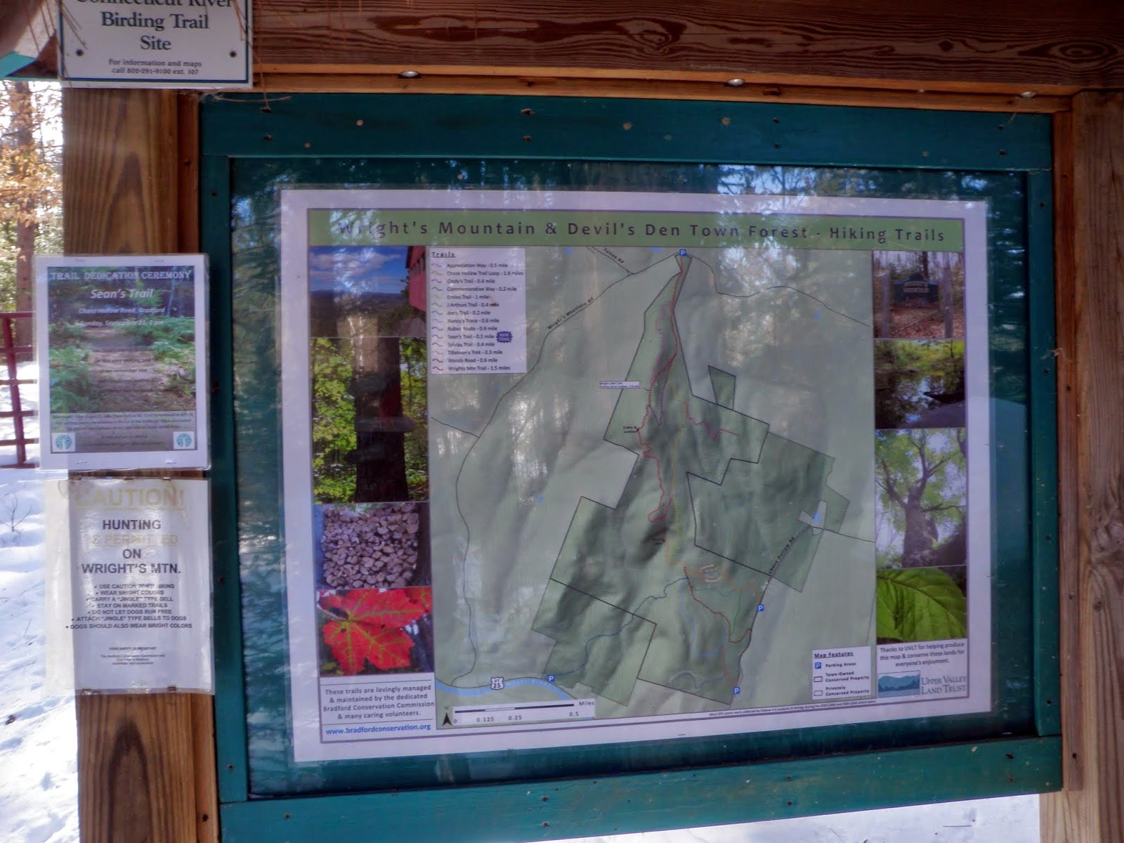
The kiosk at the start of the Wright's Mountain Trail with a map.  Maps are also available in a pamphlet you can get off the kiosk.


I wore snowshoes start to finish as the Wright's Mountain Trail was a mixture of XC ski tracks and snowshoe tracks.


I took the yellow blazed Appreciation Way trail to make this a small loop hike.  On several maps, it is also referred to as the Commemorative Way trail.


While the scenery was nice, and it was a bit more varied trail in that it moves you up the ridge faster towards the peak, the only thing I "appreciated" about it was when I was back on the Wright's Mountain Trail towards the summit.  The trail was heavily drifted-in in sections so it made the going tough on my knee.


A view point along the Appreciation Way Trail so why not.  I only had to break trail through knee deep snow for some so-so views.


The small views from the view point looking into the Waits River Valley.


Back on the Wright's Mountain Trail, and heading to the summit area of Wrights Mountain.


There is a neat little shelter just below the summit area built onto a ledge area.


Looking into Caledonia and Orange Counties in Vermont.  I think these mountains are the Knox Mountains, Butterfield Mountain and Signal Mountain.  Taken from the ledge area right next to the shelter.


A barely visible Mount Ascutney (far left) from the ledge area.


The actual high point of Wrights Mountain (elevation 1822').  It was broken out by a XC skier so I went for it, the high pointer that I am.


I decided to just head back down the Wright's Mountain Trail as it had a better snowshoe track and was already broken out.  I then came across this bench at another view point.


From the bench, you could clearly get views of snow covered Mount Moosilaukee.


Also from the bench area, you could get glimpes of Franconia Ridge and Cannon Mountain through the trees.


The trail system was easy to follow and the woods were wide open so it was a nice little hike.


Two really nice peaks and a nice day to hike.  It was a bit cool as it never really made it out of the 20's but it was sunny so that is a plus.  Gile Mountain is a quick little hike and a winner for views from the fire tower.  Wrights Mountain would make a nice loop hike if you can hike further and even include Devils Den.  Definitely do these family friendly hikes with no snow.

Sunday, March 1, 2015

Mount Agamenticus: 3/1/2015

Mileage: 1.3 
Elevation gain: 390'
Trails used: Ring Trail, Blueberry Bluff Trail, bushwhack.


Originally, Desi and I had planned to go hike Mount Tecumseh but since we both had been up the boring Mount Tecumseh Trail in winter, and with very little desire to return, we made other plans.  We thought about doing Snows Mountain almost right across the way from Mount Tecumseh but then it came to us:  if we were going to drive, why not make it a good drive for a hike.

Mount Agamenticus (or Big A as it also known, due to the former ski slopes that resided on the mountain) is located in southern Maine.  For more information, including trail maps and good reading on the conservation efforts and history of the mountain, go here.  For good reading on the old ski area, go here.  Note, mountain biking is allowed on certain trails. 


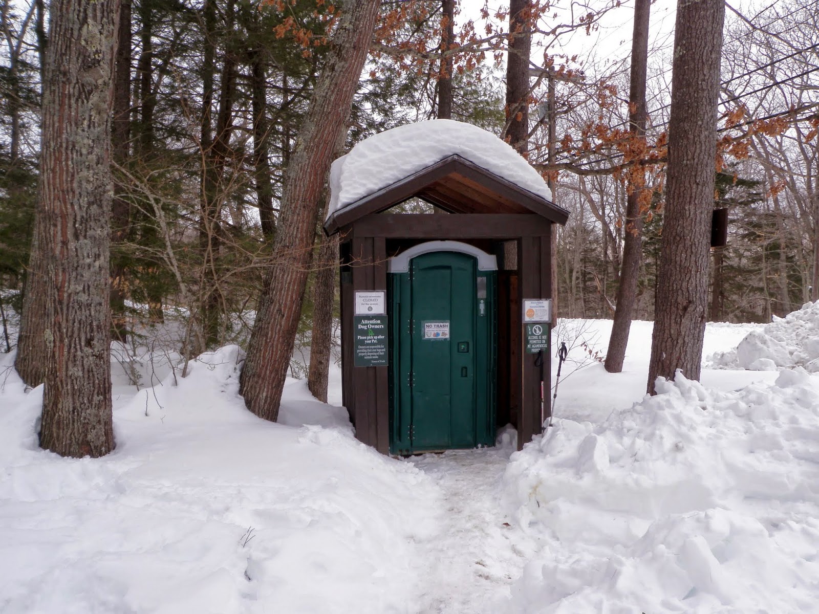
Even the port-a-potty's have their own protection from the winter weather! The trailhead's in Maine beat the ones in New Hampshire.


The trailhead kiosk for Mount Agamenticus off of Mountain Road.  When we arrived, there was no parking in the usual plowed out spots so we parked on the other side of the road.


You can buy little pamphlets like this at various stores, but why when its readily available for viewing on this kiosk.


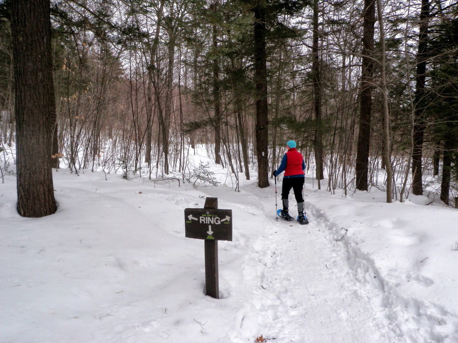
We started off on the Interpretive Trail to the Ring Trail, went to the right and due to the amount of different snowshoe and XC ski tracks, we ended up hiking up the power line cut.  Desi wore snowshoes and I wore microspikes for the round trip from summit to car. 


As we bushwhack our way up to the summit of Mount Agamenticus, the communication arrays and summit buildings come into view.


The view towards Cape Neddick and the Atlantic Ocean from the observation deck on the summit of Mount Agamenticus (elevation 691').


The Learning Lodge on the summit of Mount Agamenticus, which is closed currently.  You can see one of the old ski area Tbars in the photo.


The fire tower on the summit of Mount Agamenticus, which is not open to the public and is still in operation by volunteers of the York Fire Department.


We could see all the way to the Isle of Shoals from the observation tower on Mount Agamenticus but not visible in this photo.


This view is looking towards the Presidential Range and Mount Washington, which were visible today but evidently not in the picture.


Looking towards the Ossipee Range, the Belknaps, Sandwich Range and other southern peaks from the start of the Blueberry Bluff Trail.


Typical woods down low.  You can see all the XC ski tracks which made doing this hike a bit confusing as we didn't have a map to start with.


A nice little hike.  The weather started off cloudy and due to the haze, my camera couldn't get the crisp pictures I wanted for the day's hike.  So guess what?  A return visit is in order in nicer weather, and to explore more trails in the area (Second Hill/Third Hill).  

This is a super family friendly hike.  What made it a bit confusing were the multitude of trails from the different skiers and snowshoer's which made route finding a bit tough.  In nicer weather (i.e NO SNOW), it shouldn't be a problem.  And for those that want instant gratification, you can simply drive to the summit and enjoy the views without having to break a sweat.