Elevation gain: 390'
Trails used: Ring Trail, Blueberry Bluff Trail, bushwhack.
Originally, Desi and I had planned to go hike Mount Tecumseh but since we both had been up the boring Mount Tecumseh Trail in winter, and with very little desire to return, we made other plans. We thought about doing Snows Mountain almost right across the way from Mount Tecumseh but then it came to us: if we were going to drive, why not make it a good drive for a hike.
Mount Agamenticus (or Big A as it also known, due to the former ski slopes that resided on the mountain) is located in southern Maine. For more information, including trail maps and good reading on the conservation efforts and history of the mountain, go here. For good reading on the old ski area, go here. Note, mountain biking is allowed on certain trails.
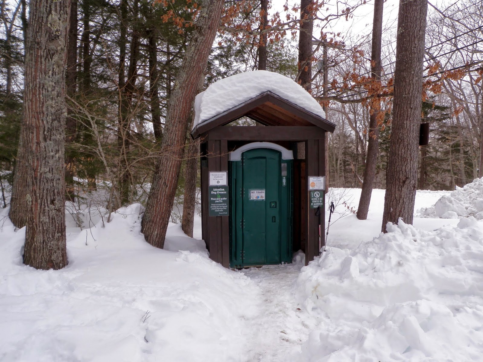
Even the port-a-potty's have their own protection from the winter weather! The trailhead's in Maine beat the ones in New Hampshire.
The trailhead kiosk for Mount Agamenticus off of Mountain Road. When we arrived, there was no parking in the usual plowed out spots so we parked on the other side of the road.

You can buy little pamphlets like this at various stores, but why when its readily available for viewing on this kiosk.

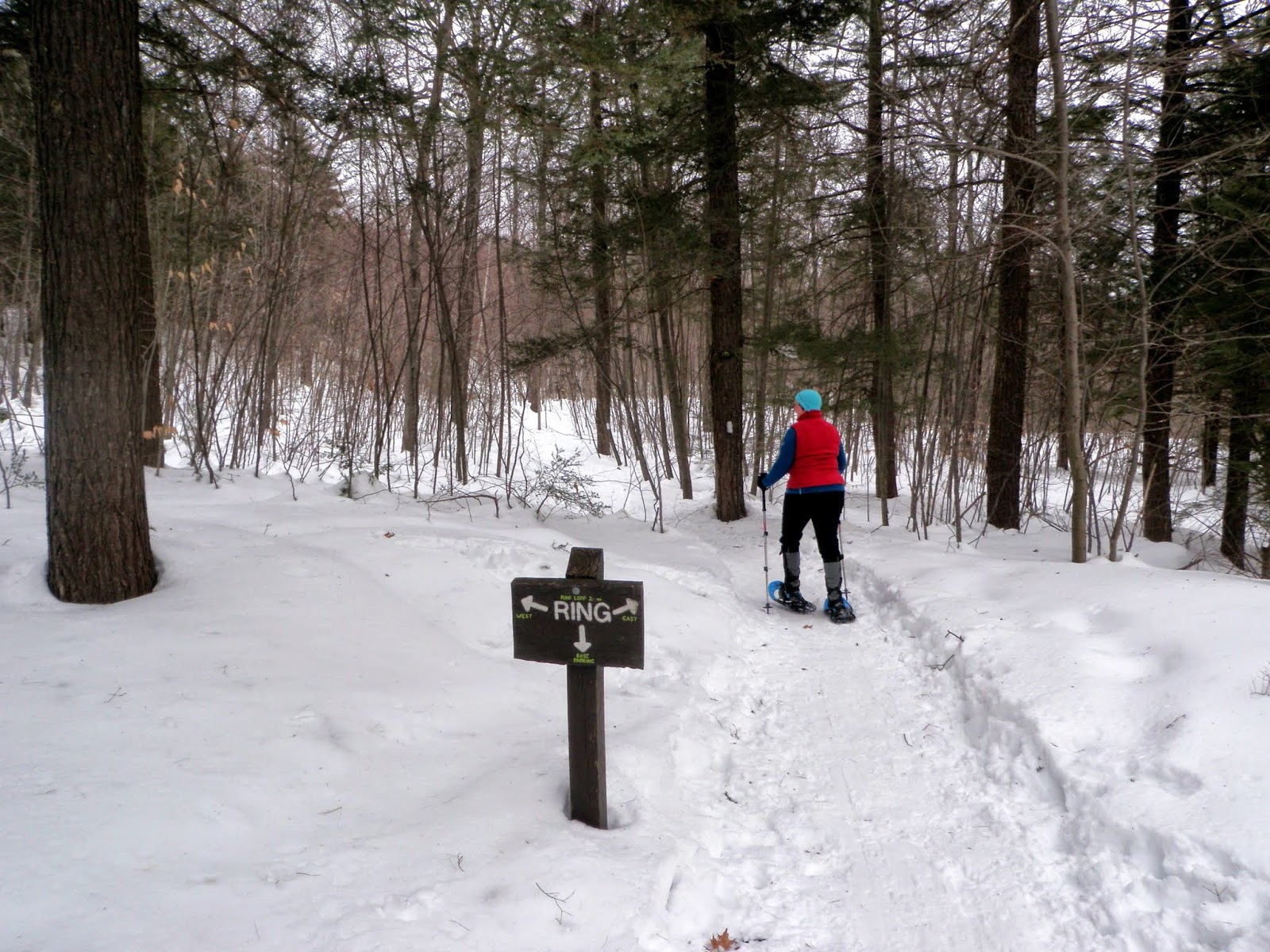
We started off on the Interpretive Trail to the Ring Trail, went to the right and due to the amount of different snowshoe and XC ski tracks, we ended up hiking up the power line cut. Desi wore snowshoes and I wore microspikes for the round trip from summit to car.
As we bushwhack our way up to the summit of Mount Agamenticus, the communication arrays and summit buildings come into view.

The view towards Cape Neddick and the Atlantic Ocean from the observation deck on the summit of Mount Agamenticus (elevation 691').

The Learning Lodge on the summit of Mount Agamenticus, which is closed currently. You can see one of the old ski area Tbars in the photo.

The fire tower on the summit of Mount Agamenticus, which is not open to the public and is still in operation by volunteers of the York Fire Department.

We could see all the way to the Isle of Shoals from the observation tower on Mount Agamenticus but not visible in this photo.

This view is looking towards the Presidential Range and Mount Washington, which were visible today but evidently not in the picture.

Looking towards the Ossipee Range, the Belknaps, Sandwich Range and other southern peaks from the start of the Blueberry Bluff Trail.

Typical woods down low. You can see all the XC ski tracks which made doing this hike a bit confusing as we didn't have a map to start with.

A nice little hike. The weather started off cloudy and due to the haze, my camera couldn't get the crisp pictures I wanted for the day's hike. So guess what? A return visit is in order in nicer weather, and to explore more trails in the area (Second Hill/Third Hill).
This is a super family friendly hike. What made it a bit confusing were the multitude of trails from the different skiers and snowshoer's which made route finding a bit tough. In nicer weather (i.e NO SNOW), it shouldn't be a problem. And for those that want instant gratification, you can simply drive to the summit and enjoy the views without having to break a sweat.
No comments:
Post a Comment