Elevation gain: 3390 feet
Trails used: Long Trail, Frank Post Trail.
Highlight(s): Long Trail, register on the summit of Haystack Mountain, views from the summit area of Haystack Mountain, register on the summit of Tillotson Peak.
Brian had discussed a plan for Memorial Day's weekend with me. We would continue from where we left off on the northern part of the Long Trail, and do another 22-23 miles over two days (Saturday and Sunday). This particular section would take us from Hazens Notch, over the numerous summits of Tillotson Peak, down to Belvidere Mountain (where we would take the short spur path to the fire tower on its summit, head down to cross Route 118 and then camp around Ritterbush Pond and the Devils Perch overlook. Day two would take us from there, over the summits of Bowen Mountain, Butternut Mountain and then the long jaunt over to Laraway Mountain and finally, reaching Codding Hollow Road where we would park my car. We had the basic plan down, we had the gear to do this, now we needed to put the plan into play. I met Brian at the exit 17 Park n' Ride, we stopped for gas and snacks and made the long drive into Vermont. Three hours later, and we had my car set up at the southern end where we would end the hike Sunday. Sadly though, the weather and several other factors came into play.
Haystack Mountain and Tillotson Peak are located in Lowell, Vermont. The Long Trail runs near the summit of Haystack Mountain, where a short spur path leads to the actual summit area. The Long Trail runs near the summit of Tillotson Peak, where a very obvious herd path leads to its actual summit area. There are views from the summit of Haystack Mountain and various spots along the Long Trail but with today's humid weather, they were hazy and hard to make out.
Haystack Mountain is on the Vermont 3K List, Vermont One Hundred Highest List, and Vermont Two Hundred Highest List.
We parked the car at the Long Trail hiker parking area in Hazens Notch and made the short walk to the start of the Long Trail heading south.

From Hazens Notch to Haystack Mountain, it seemed like it was pretty steep and with the heat and humidity kicking in, this was tiring for me already.

Brian going around this comical rock, pointing us in the right direction as we continue towards the summit area of Haystack Mountain.

A view from along the Long Trail looking back towards Sugarloaf Mountain, a section of trail we did last October.

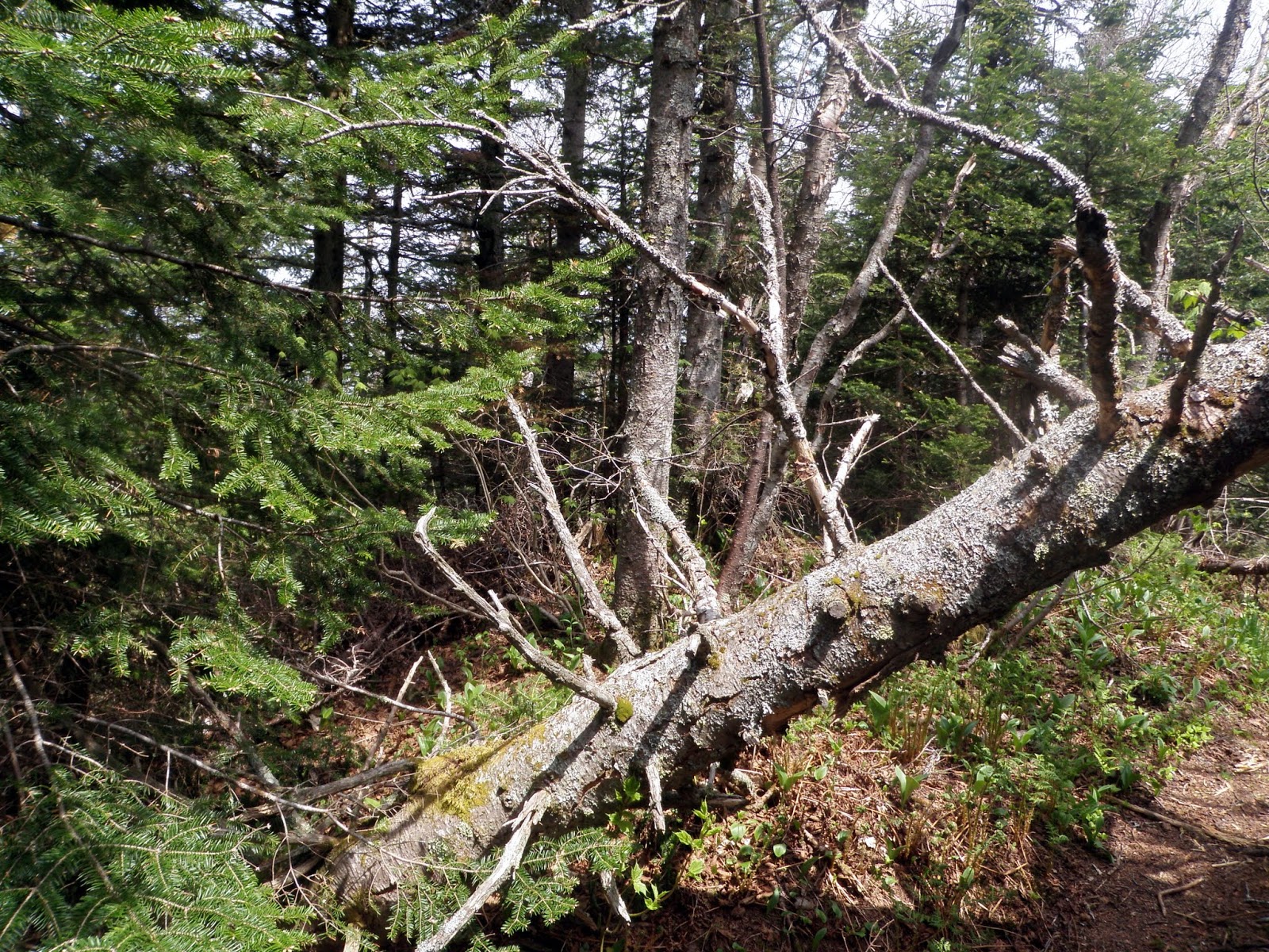
There were quite a few blowdowns along this section of the Long Trail, and massive amounts of moose droppings.
We dropped out packs to make the short 0.2 mile trek over to the summit area of Haystack Mountain, via this spur trail.

The views from the northern summit ledges of Haystack Mountain looking towards Buchanan Mountain, Gilpin Mountain, and Jay Peak/Big Jay (in the clouds).


Surprisingly there was a small jar on the summit of Haystack Mountain (elevation: 3196 feet), even though the spur path goes right over the summit.

The views from the southern summit ledges of Haystack Mountain looking towards the multiple summits of Tillotson Peak and Belvidere Mountain.

The views from the southern summit ledges of Haystack Mountain looking towards the Lowell Mountain Range with its wind turbines.

We continued along the very PUD filled section of the Long Trail between Haystack Mountain and Tillotson Peak. We saw a rabbit around this section of trail.

The nalgene bottle summit register on Tillotson Peak (elevation: 2999 feet).

This very obvious herd path runs directly to the summit of Tillotson Peak and was a carpet of moose poop so it is a popular area for them.

As soon as we made it to Tillotson Camp, we headed into the shelter to get out of the heat and humidity, and to escape the bugs that only became worse as the day wore on. I, also, suffered as we made the climb to Tillotson Peak and it seemed like I ran into a literal wall. I had no energy, I felt sick, and with a heavy pack it was like I was carrying someone during the hike. We stayed inside the shelter for a good hour and a half, as I took a brief snooze. When I awoke, I had to make the difficult decision to end the hike here instead of carrying on, trying to gut it out and make it up and over Belvidere Mountain and see how day two would turn out. I chose option one and Brian did not complain about the decision, although I beat myself up about it all the way down and back to the car.
The view, through the trees, of Belvidere Mountain and its fire tower as we are leaving the Tillotson Camp to head back down.

We decided to bail off of the Long Trail and take the Frank Post Trail, and make the long road walk back to Brian's car.

The Frank Post Trail was easy to follow and moderately steep in its upper section but mild and very pleasant down low.

There are several water crossings (minor) and you walk next to a brook for a bit in the lower sections of the Frank Post Trail.

This weird looking creature followed us for a bit and reminded me of the depictions of cows on South Park.

It was a tough, long six plus miles of road walking back to the car. It wasn't until we were almost a mile from the car that we decided to drop out backpacks on the side of the road, and come pick them up when we got to the car. The bugs only got worse, the heat was pretty steady and the humidity had us using all of our water reserves pretty much before we got back to the car.
Do I regret having made the choice I did to return to the car and end the hike after only one day? While I felt bad physically, it was a mental battle with myself as I feel I let Brian down by not continuing on but sometimes its better to cut your losses and not make the problems worse. Four and a half miles in and stopping is an easier thing to handle than being ten miles in with an even harder escape route. I know we were both relieved to be back at the car and heading home early.
No comments:
Post a Comment