Elevation gain: 1600 feet
Trails used: Phoebes Nable Mountain Trail, Burrows Farm Trail, Moose Mountain Trail.
Highlight(s): nice woods trail, views from Phoebes Nable and small view from main summit of Moose Mountain.
I had to work Saturday so Sunday would be the day Desi, Brian and I would do our hike. We tossed around a bunch of ideas but decided to keep it on the easy side, mileage-wise (after last weekend's Belknap Traverse attempt). We decided on Moose Mountain as none of us had ever been there before.
Moose Mountain is located in Brookfield and Middleton, New Hampshire and also in the Moose Mountain Reservation which is managed by the Society for the Protection of New Hampshire Forests (SPNHF). Also of note, most of the trails (if not all) are maintained by Jason Morris and Scott Lavoice who have done a good job on keeping the trails signed and easy to follow. There are some decent views from the summit of Phoebes Nable and a limited view from the wooded main summit of Moose Mountain, which requires a bushwhack to reach. On the north side of the mountain, there used to be Moose Mountain Ski Area which is now a tubing park (Moose Mountain Recreation).
Society for the Protection of New Hampshire Forests
Moose Mountain Ski Area
Moose Mountain Reservation Blog
The parking area is located at the end of New Portsmouth Road, which was pretty rough to get to. The kiosk, unfortunately, did not have any information on it due to some recent vandalism that has occurred.

We would start our hike on the Phoebes Nable Mountain Trail up to Phoebes Nable Mountain.

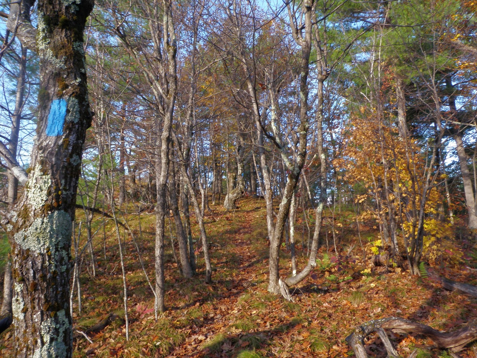
This is the coolest section of the Phoebes Nable Trail as we are almost to the Phoebes Nable summit area and ledges. It iss definitely very fall-like out today.
More views from the ledges of Phobes Nable Mountain (elevation: 1185 feet). It is a really nice day to be out hiking.

I will assume the metal bars are to try and keep snowmobiles out. Meanwhile, Desi is continuing the hike to the Burrows Farm Trail.

The Burrows Farm area and its open fields.

There were two cemeteries in the area, this one being the Burrows Family Cemetery.

We came across this plaque was on a rock for the Burrows Farm Trail.

From the Burrows Farm Trail/Moose Mountains Trail, we did most of the climb up to the summit area of Moose Mountain via the Moose Mountains Trail, which looked like snowmobiles access it during the winter.


A very interesting part of the hike was the pitch pine forest, which almost seemed out of place here. The Moose Mountains Trail looked like it continued over to the other side of the mountain.We would be bushwhacking the ridge over to the main summit of Moose Mountain, though.

Brian is sad though. He expected more from this hike. He decided to warm himself by this fire ring on the summit of Moose Mountain (elevation: 1749 feet).

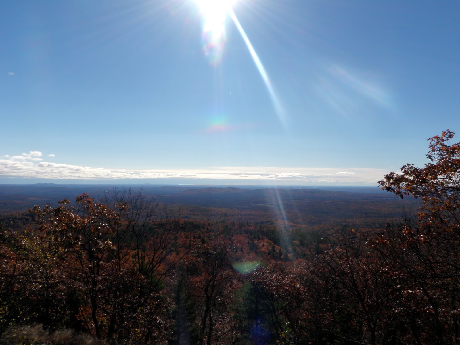
The views from the summit of Moose Mountain looking into Maine.
A short stretch of thick woods we did on the bushwhack back down to the car. Otherwise, the woods were wide open.

No comments:
Post a Comment