Elevation gain: 1295 feet
Trails used: none. snowmobile trails, logging roads, logging cuts, bushwhack.
Highlight(s): old woods road, open woods bushwhacks.
I managed to get the rest of the afternoon off from work so I decided to go for a quick hike, somewhat nearby to work and home. My only fear was that it was raining when I left work so I wasn't too keen on doing either a trailed hike or bushwhack. As I drove closer to some prospective areas with peaks I wanted to climb though, the sun came out and started drying things up quite nicely. It was nice and mellow for temperatures, otherwise.
Both Gile State Forest Peak and Gile State Forest Hill are located in Springfield, New Hampshire and also in Gile State Forst. There are a few snowmobile trails that you can use in winter to traverse the area, and nearby Morgan Pond. I will possibly re-visit the area in winter and hit Morgan Pond from the south. Note, both of these peaks are wooded so there are no views. There are also no trails so you need to use your route finding skills and do short bushwhacks to both Gile State Forest Peak and Gile State Forest Hill.
Gile State Forest Map
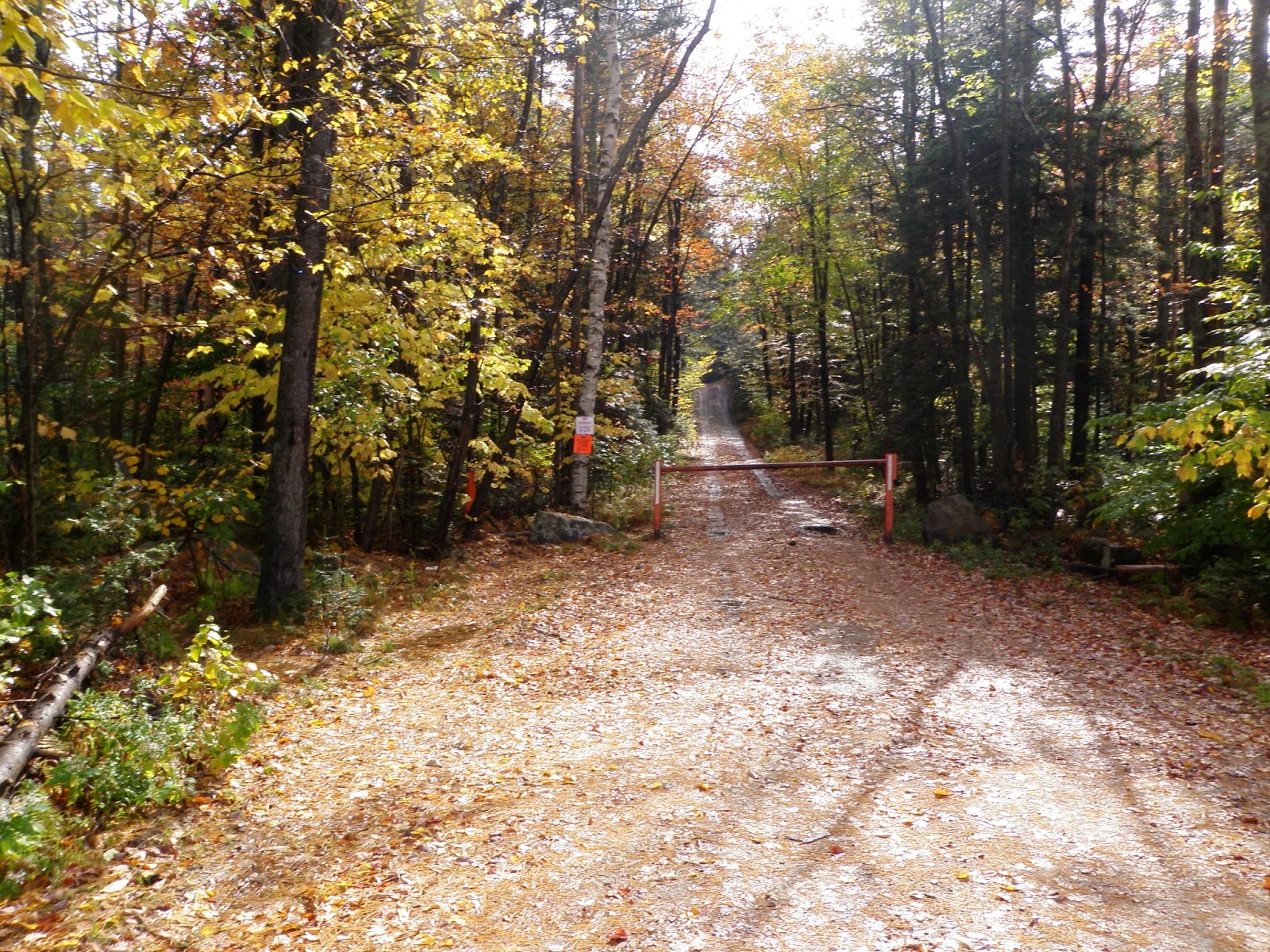
I would park outside of this gate and walk along Noyes Road, which is an active logging road right off of Route 4A.
You eventually come to this active logging area but the loggers were done for the day as it had rained and everything was a muddy mess.

I then walked down this old logging road/snowmobile trail, which used to be a part of the old Kings Highway that ran through Springfield, New Hampshire.

This was about the only view for today and it is of nearby Melvin Hill, which I bushwhacked a couple of months ago.

You cross over this little marsh area complete with crushed gravel for the logging trucks to get through. I would imagine when it's real wet this area gets flooded over.

I would eventually start my bushwhack up to Gile State Forest Peak through open woods, as this area was heavily forested somewhat recently.

The summit area for Gile State Forest Peak (elevation: 2037 feet). There are really nice moose woods to walk through on the summit area and for the bushwhack back down to the Kings Highway/snowmobile trail.

This logging cut is reached just off of Kings Highway so I would use it to get closer to the other peak I wanted to hike to today. I will note how much I dislike hiking on slash cuts as they are unstable and usually really wet/muddy.

You can see the logging cut I was in about a mile away from where I am now. I walked all the way up the cut to just about half a mile below the summit of Gile State Forest Hill.

It's always nice though when you are bushwhacking through open woods like this.

Finally, this is the summit area for Gile State Forest Hill (elevation: 2021 feet). It was a little scrappy up here woods wise, but still not bad. Now it was time to head back down to the car.

A nice quick "almost" six miles round trip and all told, it was pretty easy. Yes, I still managed to get pretty wet from the waist down but it wasn't as bad as walking through wet ferns or stick woods and getting totally drenched, or even scratched up. I saw plenty of tracks and scat for moose and deer but I didn't actually see any so it would probably be a good area for moose/deer antler hunting in the future.
No comments:
Post a Comment