Farnum Hill
Mileage: 5.35
Elevation gain: 1095 feet
Trails used: Aspinwall Ridge Trail, R. Leavitt Trail, R. Bailey Trail.
Highlight(s): easy trail system, nice trails.
I looked online for a few hikes in the Lebanon area and hit the jackpot. A few of the hikes hit the spot too, as they had trails for the entire length of the hike which would work since I wasn't in a bushwhacking mood.
Farnum Hill is located in Lebanon, New Hampshire. It has three distinct summit's with the south summit being the highest of the three. On or near each summit is an airport beacon for the Lebanon Municipal Aiport that is nearby. I heard a few planes taking off as I was doing this hike. There are multiple trails for this area and different trailheads so one could make a day off it. The high point of Farnum Hill is view-less and slightly off trail. For more information on directions to get to this hike, go here.
The road leading into the Farnum Hill hiking area off of Poverty Lane.
You hike around this gate which I believe, also serves as a snowmobile trail in winter.

There are these trail maps at each of the junctions along the way. This one is at the northern end of the start of the Aspinwall Ridge Trail.

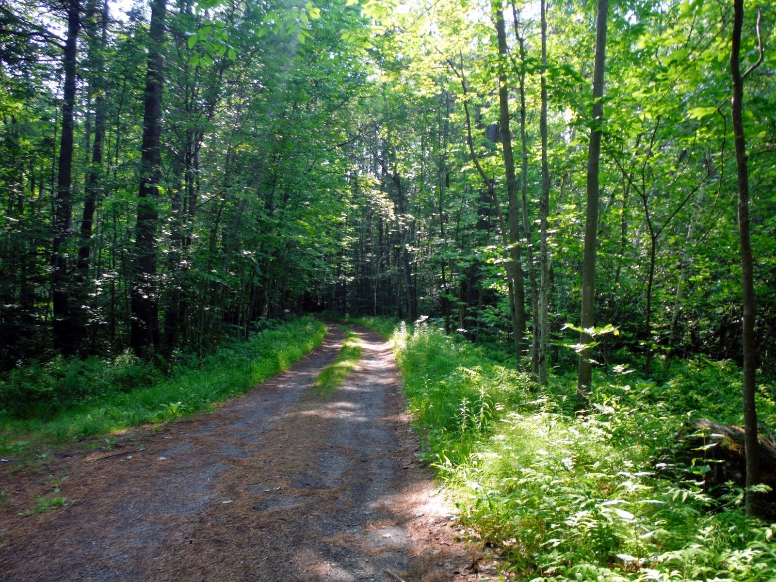
Really easy to follow trails (that are blazed in blue and white) through nice woods that were never steep.


You pass through several different power line cuts that held the only views along the hike. These views were looking towards Lebanon, New Hampshire and Quarry Hill with Mount Cube in the background.
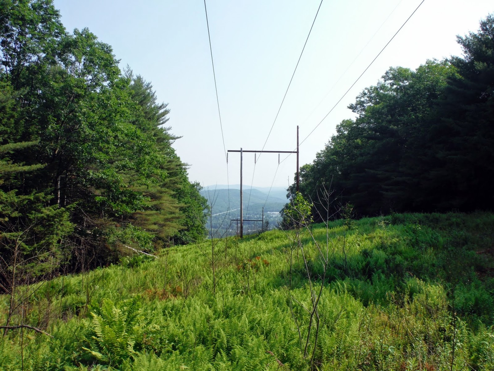
The zoomed in views towards Mount Ascutney in Vermont from the power line cut.

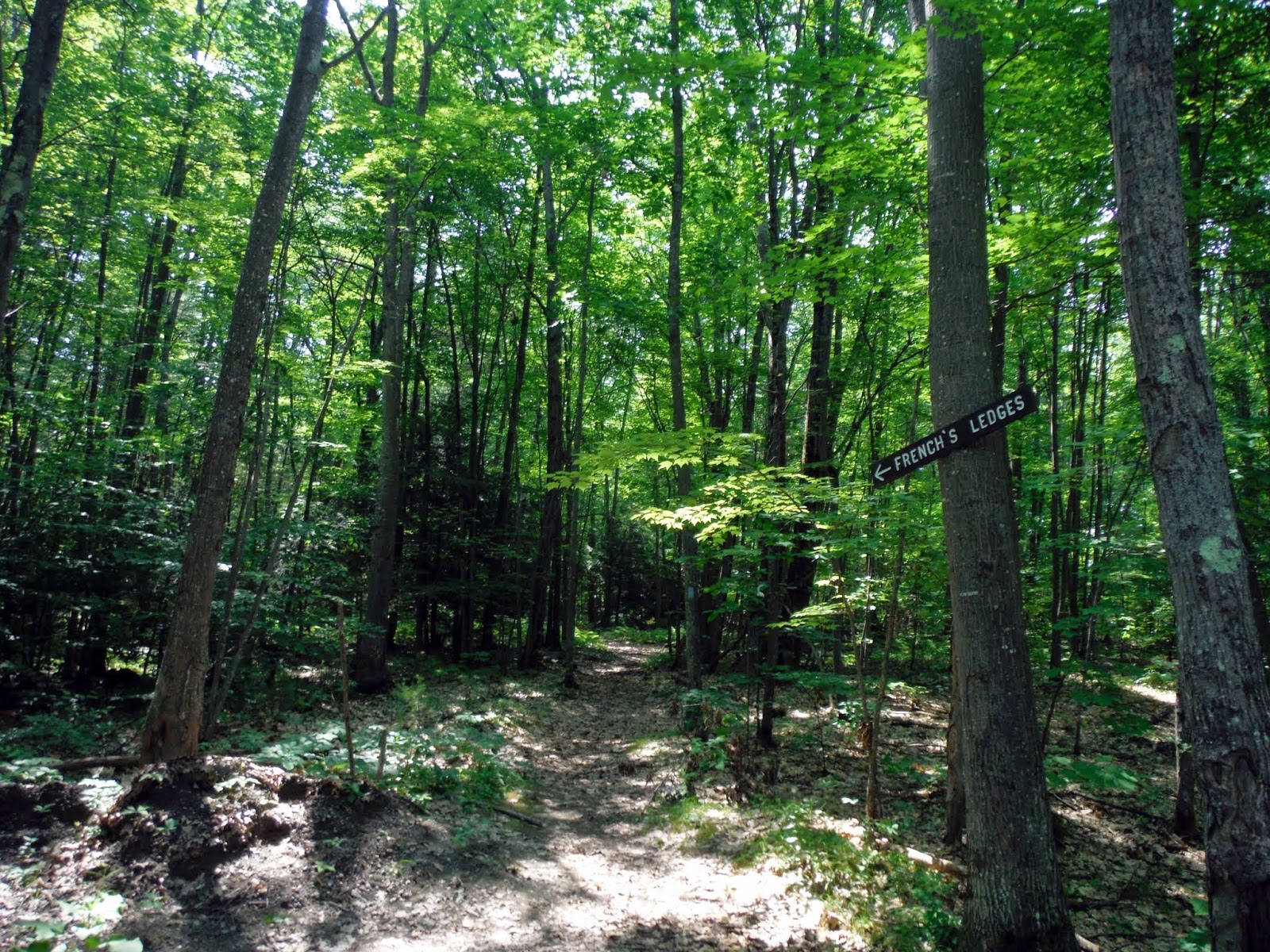
I passed various different trails but stayed on the North Peak Trail heading towards the summit of Farnum Hill.

The summit sign along the North Peak Trail but it was not the high point for Farnum Hill.

Most likely the high point of Farnum Hill (elevation: 1336 feet). On or near each of the summits are these airport beacons for the nearby Lebanon Municipal Airport.

I circled around the summit area of Farnum Hill and decided to take the R. Leavitt Trail which skirted the summit area and was less steep.

The junction of the R. Leavitt Trail and the Aspinwall Ridge Trail.

I then decided to take the R. Bailey Trail which goes to the south of the north peak of Farnum Hill and is a milder alternative to the Aspinwall Ridge Trail.

Other than a few water crossings, which were easy, this was the only tree down over the trail.

Another powerline cut to cross on the lower R. Bailey Trail. You could see the upper section of the Aspinwall Ridge Trail from here.

The Farnum Hill trailhead kiosk, complete with map just before/after the parking area.

My next hike, which I picked to do after Farnum Hill, would be quite a drive down Route 120. Once back to the car, I threw my bag in the back and headed out. Sometimes it is a pain to do a hike, get in the car for awhile to go to another spot to hike. I really should plan these out a bit better. This hike wouldn't take me that long.
French's Ledge
Mileage: 1.2Elevation gain: 230 feet
Trails used: French's Ledges Trail - South.
Highlight(s): short hike, almost 360 degree ledge views.
I read this one had some decent views from its summit ledges so since it was relatively near to Farnum Hill, I decided to give it a go and the relative short nature of the hike was an added bonus.
French's Ledge is located in Meriden, New Hampshire. There are a few trails that go to the summit area for French's Ledge and all are in the shorter range. A trail map can be located here. There are nice almost 360 degree views from the summit of French's Ledge.
The start of the south trailhead for the French's Ledges Trail which is off of Columbus Jordan Road. There is parking for at least two to three cars.
I mistakenly went up this rock cliff thinking the trail went to the top but I was still at least 0.2 miles away from the actual ledges so I backtracked to the actual trail.

A blurry sign for the junction of the North Trail and South Trail of the French's Ledges Trail.

The last tenth of a mile to the summit of French's Ledges is pretty steep.

Views to the southwest looking into Vermont and Mount Ascutney from the summit of French's Ledge (elevation: 1370 feet).

Grantham Mountain, Stowell Hill, Croydon Peak, Buffalo Mountain from the summit of French's Ledge.

The views north looking into Vermont from the summit of French's Ledge.

Looking to the northern ridge of Grantham Mountain, and the Kimball Union Academy in Meriden, New Hampshire from the summit of French's Ledge.

The actual summit high point of French's Ledge. The views were decent from here and you can almost see 360 degree's if not for the trees to the south.

I decided to call it a day after these two as I didn't want to be out late before I had to go back to work on Monday. The first hike on Farnum Hill was a pleasant woods walk on nicely maintained trails and the hike to the open summit of French's Ledge was a quick jaunt highlighted by a nice breeze and views. There were almost no bug today so it was a good day of hiking.
Just ran parts of the Farnum Hill Reserve trail system today. Great area. The view of Mount Ascutney was a highlight.
ReplyDeleteAdded several of the trail to OpenStreetMap in https://www.openstreetmap.org/changeset/88056711. Hope to go there again to complete the remaining trails.
https://www.openstreetmap.org/changeset/88056711