Borden Mountain
Mileage: 2.15
Elevation gain: 415'
Trails used: snowmobile trail, roadwalk.
We decided our first hike would be Borden Mountain in Massachusetts, as at this time of year we could use the packed down snowmobile trails to our advantage. The tricky part would be driving down Central Shaft Road into the State Forest. It's a good thing they keep the roads plowed in winter.
Borden Mountain is located in Savoy, Massachusetts and also in the Savoy Mountain State Forest. It is a part of the Hoosac Mountain Range. Savoy Mountain State Forest is home to several ponds for fishing, campsites with 4 log cabins to rent, hiking/biking/cross country skiing trails, and several waterfalls.
At the parking area for the Busby Trail, we found a map for the park on one of the kiosk and I am sure you can print it online or stop at the Forest Headquarter's to get one. Here is some more information on the park itself
We parked right near this snowmobile trail and started hiking down Adams Road to get to Tower Road, which we would take to the summit of Borden Mountain.

Heading up Tower Road towards the summit of Borden Mountain.

The fire tower and high point on Borden Mountain (elevation 2509'). The fire tower is not accessible anymore as there is a gate around the facility.

Why snowmobilers can't pack out what they bring in. I see this a lot on different peaks. The Caps Ridge Trail head a few years ago comes to mind.

An odd looking communications tower just off the summit of Borden Mountain.

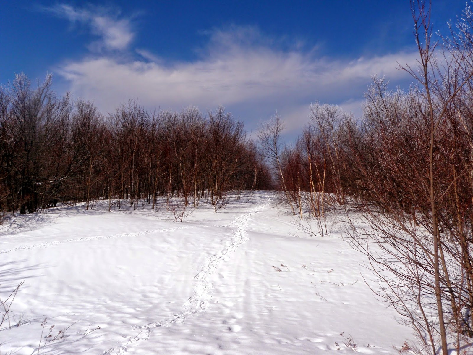
A view of the local landscape while walking along the snowmobile trail. Yes, it is snowing.

A quick hike with light snow falling pretty much the whole hike. It is definitely easier walking on the snowmobile trails as they usually keep some of them groomed and the hard packed snow makes for better snowshoeing. Once back at the car, we looked at the Massachusetts Gazetteer for an idea on hike #2.
Mount Raimer
Mileage: 1.75
Elevation gain: 560'
Trails used: Taconic Crest Trail, bushwhack.
With hike number one done, we looked for some other peaks in the area. We started looking at the gazetteer and were drawn to a couple of peaks along the border between Massachusetts and New York, along with a few that were in the Mount Greylock area. We decided on the short drive through North Adams, Massachusetts and hit a mountain along the Massachusetts and New York border's.
Mount Raimer is located in Williamstown, Massachusetts and Petersburgh and Berlin, New York. Mount Raimer was home to the defunct Petersburg Pass ski area, which was then changed to the Taconic Trails, and finally Mount Raimer. It is also a part of the Taconic Mountains and the Taconic Crest Trail traverses the mountain but not the summit. Some information on the Taconic Crest Trail can be found on their blog. Information on the old Petersburg Pass ski area can be found here.
Looking towards Mount Greylock (in the clouds) from the parking area for the old Petersburg Pass ski area at the height of land off of New York State Route 2.

Looking up one of the old ski trails for Mount Raimer from the parking lot.

Brian walking up the Taconic Crest Trail, which was steep at this point. We walked from the old ski area parking lot, then branched off on a snowmobile trail. Not sure if it is an official one or someone was just bombing around the area but we used it to almost reach the summit.

We hopped off the snowmobile trail and came upon this cool ice crystals on the tree's as we snowshoe up an old ski trail to the summit area of Mount Raimer.

Some of the old ski area concrete supports for the Poma lifts were still in place.

The summit area for Mount Raimer (elevation 2572').
Spring snowshoeing at its finest. Brian likes it that much.

We hiked down several old grown in ski trails with views into the surrounding area in New York. It was quicker than and better scenery than hiking back down the hiking trail.

Almost back to the car, we got this view of the Taconic Mountains across from Mount Raimer.

Almost an identical picture from the first one, except there are less clouds to be seen and Mount Greylock was out in the open.

A quick round trip hike and we were back at the car early. So we decided to make this a state trifecta; a hike in three different states as we were going to head back to New Hampshire via driving through Vermont. We planned to do a hike which we tried doing several weeks ago but were stopped by a snow storm, and since the weather was pretty nice we figured we could get some nice views.
Mount Olga
Mileage: 2.15
Elevation gain: 615'
Trails used: Mount Olga Trail.
We drove into Vermont and got on Route 9, which would take us by Molly Stark State Park and Mount Olga. We figured since the weather had been warmer as of late, the high snowbank that stopped us recently would be significantly diminished. We were right.
Mount Olga is located in Wilmington, Vermont and in the Molly Stark State Park. Molly Stark State Park has a campground and hiking trails to the fire tower on the summit of Mount Olga. Cross country skiing and snowshoeing is allowed in winter. For more information on Molly Stark State Park and/or a map of the trails in the area, click on the links.
Brian getting the snowshoes ready at the gate to head into Molly Stark State Park. Three weekends ago, this was about a 4 foot snowbank. Today you can park almost behind the gate.

After walking up the road a bit, we turned left on the Mount Olga Trail as we would do this as a loop hike.

The trail was packed down by snowshoers and barebooters so we opted for snowshoes. The Mount Olga Trail is never really steep so that was a plus today.

I think the firetower is this way. Or so says this sign.

The fire tower on Mount Olga (elevation 2418'), which you can climb all the way into the cab for the views of the surrounding area.

Looking west from the fire tower towards Haystack Mountain and Mount Snow. Stratton Mountain is off to the right.

More views from the summit tower on Mount Olga of Stratton Mountain, Rice Hill and Bromley Mountains ski trails just visible in between the two.

Views from the summit fire tower on Mount Olga of Greylock Mountain (background) with the wind turbines on Crum Hill and Blackpoll Mountains in Massachusetts.

More unknown peaks (to me) looking into Massachusetts from the fire tower on Mount Olga.

Looking south into Massachusetts from the summit fire tower on Mount Olga.

The inside of the old fire wardens cabin. I was hoping to get some spirit orbs with this picture but alas, nothing.

Back down the the junction and heading back through the campground to the car.

They have lean-to shelters, with picnic tables and firepits. Pretty cool.

The Molly Stark State Park entrance where we parked my car off of Route 9.

A fun day of hiking with an equally fun, but long, day of driving. I would definitely recommend Mount Olga as you can hike up to the summit and then enjoy the views from the fire tower. The other two hikes, while easy and nice, were only marginally worth doing. Very little in the way of views but the scenery was pleasant.
No comments:
Post a Comment