Elevation gain: 2900 feet
Trails used: Mount Tecumseh Trail, Sosman Trail, bushwhack.
Highlight(s): views from the summit of Mount Tecumseh, partial view from the summit of Green Mountain, open ledge views along the unofficial Green Mountain Trail.
We had two options really for this weekend (Desi would be joining us): go into Massachusetts and do some hikes around Mount Greylock or stay closer in New Hampshire and do the Mount Tecumseh to Dickey-Welch Traverse. We decided on the New Hampshire option as it was something Brian and I had wanted to do for a few years now, and it seemed passe with so many reports from here the last few years. We left Desi's car at the Dickey-Welch trailhead parking area and Brian drove us around to the Mount Tecumseh Trail parking area off of Tripoli Road. Unfortunately, my camera was not charged for this hike so we used Desi's camera (she had it from the beginning of the hike until the summit of Mount Tecumseh; the bushwhack that Brian and I did over to Northwest Tecumseh we have zero pictures of).
Mount Tecumseh, Green Mountain and Dickey Mountain are located in Waterville Valley, New Hampshire. Mount Tecumseh is a part of the Sandwich Range and the Waterville Valley Resort, one of the largest in New Hampshire, is on Mount Tecumseh. It requires a bushwhack to get from Tecumseh to Green Mountain, but after that, there is an unofficial trail that runs from Green Mountain over to Mount Dickey and Mount Welch. There are views from the summit of Mount Tecumseh, as well as partial views from the summit of Green Mountain and the ledges along the way to Dickey Mountain.
Mount Tecumseh is on the New Hampshire 4000 footer's list, the New England/New Hampshire 100 Highest/New Hampshire 200 Highest List and the New Hampshire 3k List.
We decided to do the Mount Tecumseh Trail off of Tripoli Road, which Desi and I had not done before but Brian did it a year or two ago.

After we crossed Eastman Brook (very low at this time), we headed up the Mount Tecumseh Trail which was easy to follow.


Occasionaly we noticed White birch mixed in along the Mount Tecumseh Trail.

The Mount Tecumseh Trail from the Tripoli Road side has better variation than the Waterville Valley side, which seems like it just goes straight and up.

Brian and I disappearing into the woods on our bushwhack over to Tecumseh Northwest peak. Since this was the only camera we brought (that was charged), Desi kept it and continued on while we hit the summit. We would catch up with her just before our final ascent to the summit of Mount Tecumseh.

The Mount Tecumseh Trail turns near this cairn.

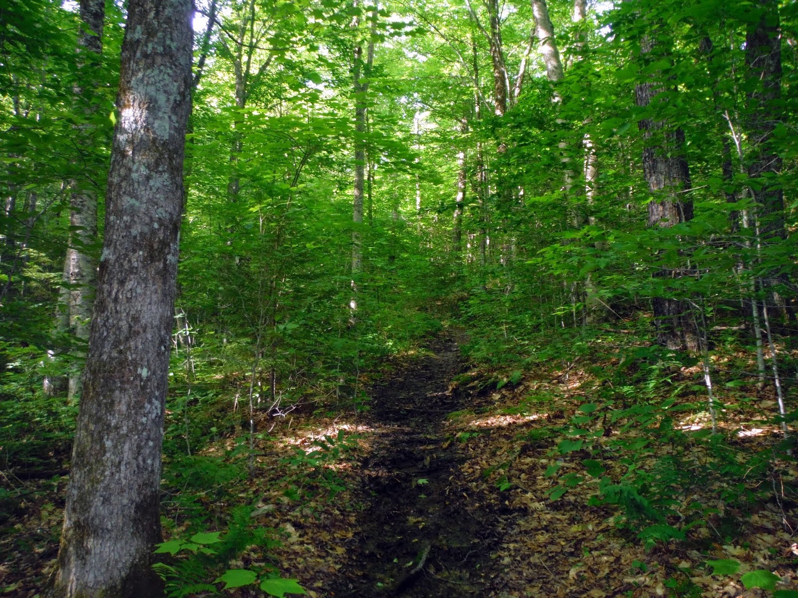
The Mount Tecumseh Trail continued heading up through nice woods.


The Mount Tecumseh Trail gets a bit steep as it the trail hits a minor ridge to the northwest of Mount Tecumseh.


On the Mount Tecumseh-Northwest Peak (unofficial name) which had several views from its summit area.

A view point from the minor summit area of Mount Tecumseh-Northwest Peak looking towards Mount Moosilauke. Yes, those are underwear in the tree.

The views from the minor summit area of Mount Tecumseh-Northwest Peak looking into Vermont.

This section of the Mount Tecumseh Trail reminds me of a section of the Desolation Trail heading up to the summit of Mount Carrigain.

Imaging cutting a trail through this area of trees. This is the Mount Tecumseh Trail as we are heading up and almost to the summit area.

The views from the summit area of Mount Tecumseh of Scar Ridge, Mount Liberty, Mount Liberty and Mount Haystack (Franconia Ridge).

The views from the summit area of Mount Tecumseh of Carter Dome, Black Mountain, the Baldface range and Mount Kancamagus.

The views from the summit area of Mount Tecumseh of Scaur Peak, Bear Mountain and Kearsarge North.

The views from the summit area of Mount Tecumseh of North Tripyramid, Middle Tripyramid, South Tripyramid, Mount Passaconaway, West Sleeper, East Sleeper and Mount Whiteface.

Looking down towards the Waterville Valley area from the summit of Mount Tecumseh.

Greg and Brian relaxing on the summit of Mount Tecumseh (elevation: 4003 feet). It was a comfortable hike until now with the unknown part of the trip to come.

The view of Sandwich Mountain from the summit area of Mount Tecumseh.

A small crowd on the summit of Mount Tecumseh with views provided by parties unknown. Hopefully the person who has done this gets caught.

The summit cairn on Mount Tecumseh.

The views from the summit area of Mount Tecumseh of North Tripyramid, Middle Tripyramid, South Tripyramid, Scaur Peak, The Sleepers, and Mount Whiteface.

The views from the summit area of Mount Tecumseh of Mount Osceola-East Peak, Mount Carrigain, Carter Dome and the Wildcat/Carter Range. The Presidentials are in the clouds in the background.

From the summit of Mount Tecumseh, we headed down towards the Sosman Trail.

An interesting section of the blue blazed Sosman Trail, as we made our way to the ski area.

Looking back towards the summit of Mount Tecumseh along the Sosman Trail.

The views of the Tripyramids, Mount Passaconaway, Scaur Peak, and Sleepers (East and West Peaks) from the ski area on the Sosman ski area side of Mount Tecumseh. Also visible was Kearsarge North and the nearby Snows Mountain ski area.

The views looking towards Mount Osceola and Mount Osceola-East Peak from the Sosman ski area side of Mount Tecumseh.

Brian looks so lonely up there on the ski lift. He said he is waiting for snow, but we enticed him off the lift with Little Debbie snack cakes and Mountain Dew.

The views of Sandwich Dome from one of the ski slopes on the Sosman ski area. We were looking for a good place to start the bushwhack over to Green Mountain.

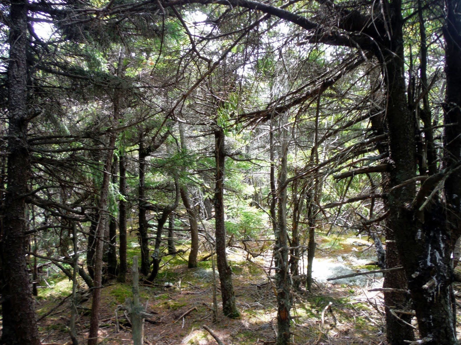
Not finding a good access point, we decided to just head in and hope for the best. Here Brian is swimming through the trees as we head towards Green Mountain.

We found on and off good woods like this (and what looked like an old trail) but it really opened up as we neared the summit of Green Mountain.
The views from the ledge on Green Mountain looking back towards Mount Tecumseh.

The summit of Green Mountain (elevation: 3536 feet), complete with sign and register. There are small views from the summit area (see picture above).

Sections like this of the old Green Mountain Trail were nice as you hiked through wide open fern woods and probably perfect for wildlife viewing or encounters.

The Green Mountain Trail is still well maintained and a much better walk in the woods than trying to make it to Green Mountain from the ski trails on Mount Tecumseh.

We got some views of Sandwich Dome from the summit area of Foss Mountain, which is a southern spur of Green Mountain.

The views looking back towards Green Mountain and Mountain Tecumseh from the ledge area on Foss Mountain.

The views looking towards Mount Moosilauke from the ledge area on Foss Mountain.

We are getting closer to Welch Mountain and Dickey Mountain on this long trek so far. It was nice to be out in the open and not stuck in thick woods like earlier.

The views of Welch Mountain and Dickey Mountain in full view as we head down the ledges off of Green Mountain/Foss Mountain. We would head over Dickey Mountain and then back to the car at the Dickey-Welch parking area.

Hiking down the unofficial trail on the granite slabs was fun. The trail was pretty easy to follow as there are cairns at all major intersections.

The views looking towards Sandwich Mountain, Jennings Peak and Sachem Peak from the ledges heading up to the summit of Dickey Mountain.

Looking back towards Mount Tecumseh, Green Mountain and you can just make out the ledges we came down to get to this point.

A poor lonely cairn on the ledges just below the summit of Dickey Mountain, where we would hop back on a proper trail.

As we climb the ledges up towards the summit area of Dickey Mountain, we get these views looking north towards the Franconia Notch area.

Brian and Desi making their way down the ledges off of Dickey Mountain as we head to where we parked Desi's car to complete the traverse.

The views to nearby Welch Mountain, which has the better views from its summit.

Using the Mount Tecumseh Trail from Tripoli Road is the better way to do Mount Tecumseh, in my opinion. It has that rugged woods feel without the crowds that come from the ski area side. Plus, it is less "developed" than the ski area side. The weather was perfect for this hike, and there was hardly a bug out. The bushwhack from Mount Tecumseh to Green Mountain left a little to be desired, but the rest of the hike from Green Mountain to Mount Dickey or Mount Welch would be a worthwhile jaunt again in the future.
No comments:
Post a Comment