Meetinghouse Hill - Dresser Hill
Mileage: 3.45
Elevation gain: 1220 feet
Trails used: none. Bushwhack.
Highlight(s): none.
Highlight(s): none.
This would be the first hike of the day of a multiple peak day that Al had suggested we try (he had roughly 10 peaks picked out for the day and we would do as many as we could). It was a bit on the hot side already and the bugs were making their presence known so hopefully most of these hikes would be on the quick side. This first hike took a bit longer than anticipated due to us doing two peaks that were next to each other.
Meeting House Hill and Dresser Hills are located in Sutton, New Hampshire. We found an old trail going to the summit of Meetinghouse Hill but we bushwhacked over to Dresser Hills from there. There were decent views from just below both summit high points if you poked around otherwise both peaks are wooded and view-less.
We parked both cars at this Class 6 road (Pound Road) and headed down the road a bit to start our bushwhack to Meetinghouse Hill first.

We lucked out and found a trail that passed this gnarly looking tree.

There was some sort of camping area on the way to the summit, complete with this fire pit, benches and multiple tent platforms. Someone in the group seemed to think there was a youth camp somewhere around here at some point.

The unnamed trail continued past the camp area and got a bit harder to follow so it seems that it is only maintained to the camp area, and then roughly after that. We made it to the high point of Meetinghouse Hill (elevation: 1400 feet) and then headed over to Dresser Hills.

Heading down from Meetinghouse Hill through somewhat steep terrain and semi open woods.

This section of woods was about as thick as it would get on this hike.
 |
The woods in between Meetinghouse Hill and Dresser Hills were pretty open and not too steep.

Al and Van on the summit of Dresser Hills (elevation: 1360 feet), with Brian looking on.

The view of Mount Kearsarge from some ledges just below the summit of Dresser Hills.

An old woods road that we passed on the way back to the car coming down off the summit of Dresser Hills. This area has a lot of old logging roads.

How could you not love hiking through sections of open woods like this?

Once we were back down to the car, I asked Al where we were off to next. He had this whole day planned out for the most part so it was basically follow him to where ever he headed off to. He had a rough map of where we needed to go, and it was nice that these peaks were all pretty close to each other.
Dodge Hill
Mileage: 1.05
Elevation gain: 205 feet
Trails used: none. roadwalk/snowmobile trail.
Highlight(s): none.
Highlight(s): none.
This peak was not too far down the road from the first two peaks we did today. I really think we spent more time in the car driving to Dodge Hill, than we did hiking up to the summit and back. We parked on a cul-de-sac and waited while Al went to find someone who lived in the house nearby to get permission to do this hike.
Dodge Hill is located in Sutton, New Hampshire. There is an old woods road/snowmobile trail going to the summit of Dodge Hill of this wooded, view-less peak. We found two areas where both could possibly be the high point; one off of the snowmobile trail and the other a short bushwhack into the woods.
We headed up this old woods road that goes right to the summit area of Dodge Hill.

The group on one of two possible high points for Dodge Hill (elevation: 1200 feet). We think the bottom picture is the actual high point, which is right off of the snowmobile trail.


Dodge Hill was a quick, easy one mile round trip hike and most of us didn't feel the need to take our backpacks with us. It was a road walk up a snowmobile trail and then short bushwhack to one of two possible high points for this peak. So once we were done, it was once again back to the car and off to the next peak.
Hedgehog Hill (Bradford)
Mileage: 1.1
Elevation gain: 335 feet
Trails used: none. unofficial trail/woods road.
Highlight(s): unofficial trail.
This next peak would be a tough one, in the fact that we weren't exactly sure how to access the summit. We managed to find a nice spot to head in but Al went to talk to the home owner, who graciously gave us access to his property and even provided Al with a hand drawn map of the property.
Hedgehog Hill is located in Bradford, New Hampshire. There is an unofficial trail that runs around the property but there is no trail to the wooded, view-less summit of Hedgehog Hill so it requires a short bushwhack through open woods. It is best to get permission first before you head up to this peak.
This is where we started the hike after we were given permission by the landowner. He even provided Al with a hand drawn map of the private trails here.

The gang hiking up the unofficial trail on our way to Hedgehog Hill, which required a short bushwhack through open woods to reach.

Van relaxing on the summit of Hedgehog Hill (elevation: 1200+ feet).

We walked through this open field back to the car with views towards Mount Sunapee and Lucia's Lookout.

Another quick peak done and then we were back in the car and on the move yet again. The next peak would be a short bushwhack depending on how we could manage to get access to it. We would attempt access from the corner of Jackson Road and Hewlett Road in Bradford, and then walk by a cemetary towards the summit of Goodwin Hill.
Goodwin Hill
Mileage: 1.40
Elevation gain: 685 feet
Trails used: none. bushwhack.
Highlight(s): none.
Highlight(s): none.
This next hike would be along the same as the other hikes: hike to summit, hike back down, get in car, drive to next peak nearby, rinse and repeat. This hike would also be like the other few hikes: bushwhacks through open woods. Once again, I would leave my backpack behind for this one as we made our way to the summit of Goodwin Hill.
Goodwin Hill is located in Bradford, New Hampshire. There is no trail to the wooded, view-less summit of Goodwin Hill so it requires a short bushwhack through open woods.
The woods were open enough and it was a bit steep at the start but otherwise a nice little walk to the summit of Goodwin Hill.

Al, and Van on the rock in the background with Ryan and Ethan on the ground. We are on the summit area of Goodwin Hill (elevation: 1320 feet).

There really wasn't much to this hike. It was straight up to the summit, find the high point, and then head back to the car. At this point, it was almost midday so we still had plenty of time left to do a few more hikes.
Picket Hill
Mileage: 0.90
Elevation gain: 420 feet
Trails used: none. bushwhack.
Highlight(s): views from the ledges below the summit of Pickett Hill.
We were flying along through these peaks today. The fact that most of them were lower level hikes/bushwhacks and you can see why we were able to string so many together. Add to the fact that Al is just plain crazy and we were just as bad. This was yet another hike where Al went in to get permission before we did this hike. Yet, before it was granted, Ethan wasn't feeling so welll so he was not going to join us for this quick bushwhack.
Pickett Hill is located in Bradford, New Hampshire. There is no trail to the wooded, view-less summit of Pickett Hill so it requires a short bushwhack through open woods. There are several views from the ledges below the summit though.
We would access this peak from this private residence off of Sawyer Road in Bradford, New Hampshire. Once again, Al went in to ask for permission which was granted.

The woods were open and since the hike was fairly short, it was pretty steep to the summit of Pickett Hill.

The views from just below the summit of Pickett Hill of nearby Haystack Mountain, Avery Ledge and Lovewell Mountain.

Not exactly sure what these are but they were kind of cool hanging from this cocoon. They were everywhere on the summit of Pickett Hill.

Brian, Ryan, Al, and Van on the summit of Pickett Hill (elevation: 1602 feet).

Once we were done hitting the high point of Pickett Hill, we headed back down to the car. Al wanted to do roughly 2-3 more hikes but I figured I had time (and energy) for one more. So we decided on the last peak that at least four of us would do, and we headed there. It was right around the corner from where Pickett Hill is located so it didn't take us much time at all.
Haystack Mountain (Bradford)
Mileage: 0.85
Elevation gain: 500 feet
Elevation gain: 500 feet
Trails used: none. bushwhack.
Highlight(s): views from the ledges below the summit of Haystack Mountain.
The last hike that I would do for the day, as Brian and Ethan called it quits and waited in the car while Al, Ryan, Van and I made the steep hike to the summit of Haystack Mountain. I could probably have done another one or two quick peaks but since it was Sunday, I did not want to get home to late with work on Monday. We noticed no restrictions so we parked off of Deer Valley Road and headed into the woods.
Haystack Mountain is located in Bradford, New Hampshire. There is no trail to the wooded, view-less summit of Haystack Mountain so it requires a short bushwhack through open woods. There are several views from the ledges below the summit though.
This would be another short but steep hike up to the summit of Haystack Mountain.

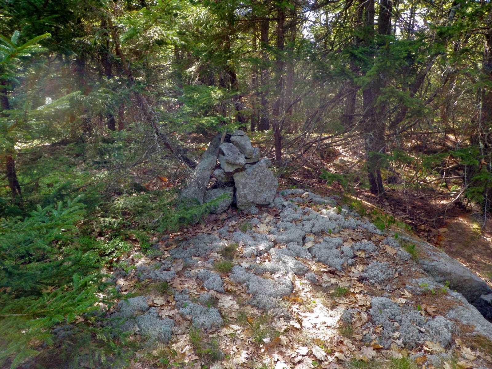
There were two different spots where it could be the high point of Haystack Mountain (elevation: 1873 feet), but this one with the cairn is possibly higher.

We managed to get some views of Mount Monadnock from the ledges below the summit of Haystack Mountain. There was even a rock chair right around here.

Al, Van and Ryan heading down the old logging cut we used to climb to the summit of Haystack Mountain, effectively ending the day for me.

A good all around day with a good group of hikers. Al did the planning for this day so kudos to him for managing to make this a productive day. The weather was nice as well. It did get a little hot as the day went on but not too bad, and it managed to stay sunny and clear for the whole day. You can't beat that in late spring.
No comments:
Post a Comment