***THE SUMMITS OF BRONSON HILL AND GARNET HILL ARE PRIVATE PROPERTY. YOU WILL NEED TO OBTAIN PERMISSION TO HIKE THESE PEAKS***
Ore Hill (Sugar Hill)
Mileage: 0.85
Elevation gain: 370 feet
Trails used: none. bushwhack.
Highlight(s): register on the summit of Ore Hill.
I had a rough idea of where I wanted to try this hike based off of Google Earth images, and looking at the New Hampshire Gazetteer so it was a matter of finding a good spot to park the car and head into the woods. This would be a short hike if I could manage to get close enough off of Ore Hill Road.
Ore Hill is located in Sugar Hill, New Hampshire. There are no trails that go to this wooded summit so it requires a short bushwhack through open woods to reach its summit.
I started the bushwhack using old logging cuts to reach the summit of Ore Hill. I parked at a pullout off of Ore Hill Road to begin the bushwhack.

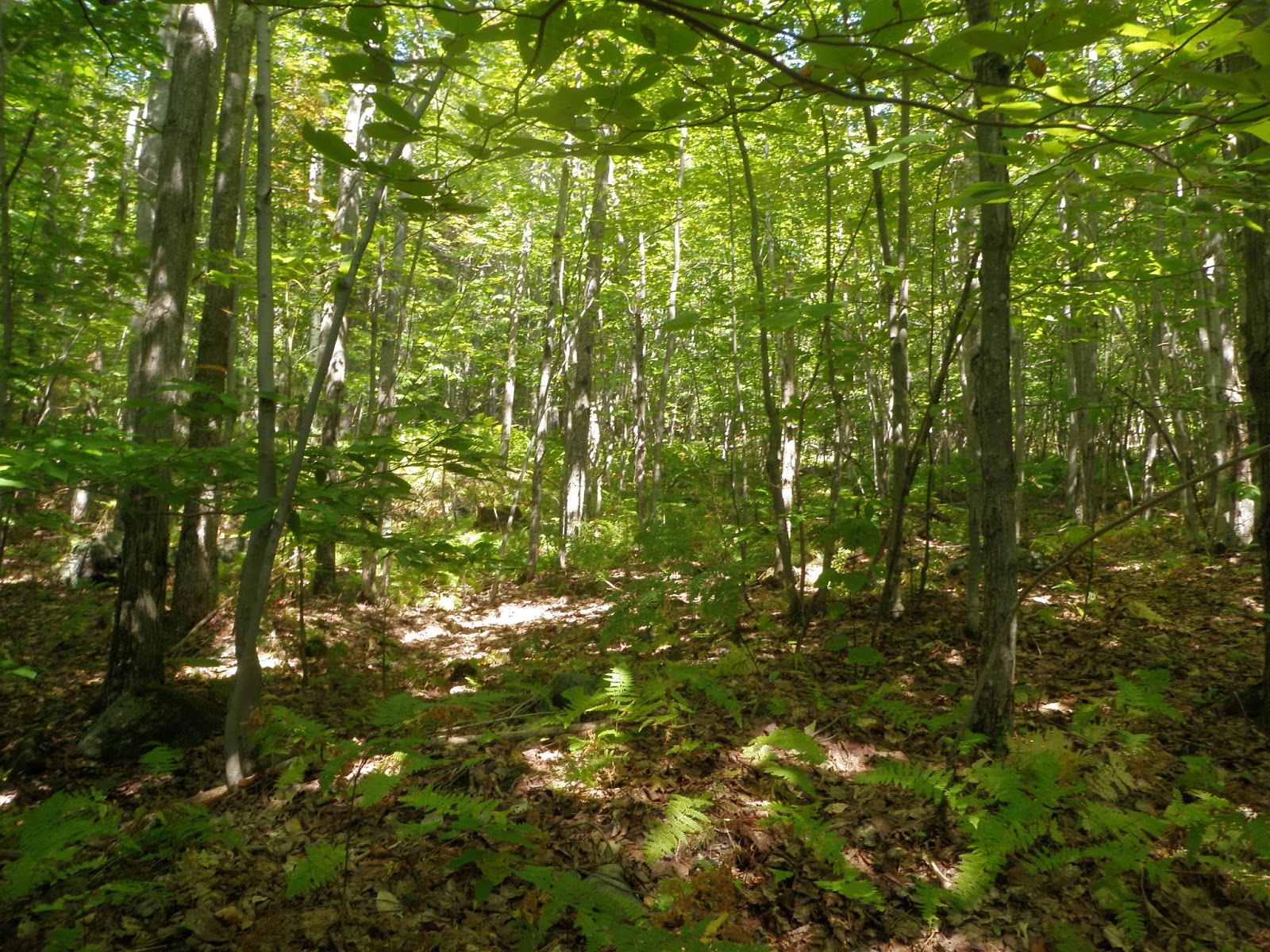
In some spots the logging cut was evident but it was a nice walk in open woods.

The wooded summit of Ore Hill (elevation: 2025 feet), with its pill bottle register.

Where I parked the car on Ore Hill Road. There are several houses in the area but the summit area of Ore Hill is not posted.

I think it only took me about 20 minutes to do this bushwhack so I would have more time to figure out what was next on the agenda. Luckily, there are plenty of peaks in the area to hike/bushwhack but finding out how to do them is the key. My next hike luckily would not be that far from the first.
Bronson Hill
Mileage: 2.15
Elevation gain: 765 feet
Trails used: logging roads, snowmobile trail, bushwhack.
Highlight(s): register on the summit of Bronson Hill.
My next hike was close enough to the first hike so it was a matter of finding the place where I would have access to the summit. I had found a rough map of the area on a Google search so with Gazetteer in hand, I managed to find the entrance to the Foss Forest area.
Bronson Hill is located in Sugar Hill, New Hampshire and is the highest point in Sugar Hill. It is located in Foss Forest and Bronson Hill Conservation Area, which are maintained by the Ammonoosuc Conservation Trust and are a mixture of trails and old logging roads. There are no trails that run to the wooded summit of Bronson Hill so a short bushwhack through open woods is required. You can use the Foss Forest Trails, plus logging cuts and snowmobile trail to reach the bushwhack part of the hike though.
Foss Forest
Ammonosuc Conservation Trust Trail Maps
I started off hiking in the Foss Forest area off of Pearl Lake Road.

This is where I parked my car off of Pearl Lake Road. The trails in the area are a mixture of actual trails and old logging roads

The Carl Schaller Trail is one of the few named trails in the Foss Forest area, which had green diamonds to denote the trail.

I lost the trail shortly after a water crossing and ended up heading across this old logging cut.

Eventually after a short bushwhack, I came across this snowmobile trail, and used it to reach the summit of Bronson Hill.

The canister on the summit of Bronson Hill (elevation: 2078 feet). Actually, it was slightly off the high point by a good hundred feet or so.

The actual high point area of Bronson Hill.

So, while the bulk of the hike is open to the public, there were quite a few posted property signs around the summit of Bronson Hill that I failed to notice on the way up so this will require that you ask for permission first before you attempt this hike. I attempted to pull the canister down due to this but I forgot my leatherman tool so it remains there currently. The rest of the Foss Forest area was a nice walk in the woods. Just make sure to bring a map of the area, as it does get a bit confusing.
Garnet Hill
Mileage: 1.30
Elevation gain: 615 feet
Trails used: none. bushwhack.
Highlight(s): none.
This would be the last hike of the day, as I did not want to be out all day and it was tough finding access to most of the peaks I wanted to hike. This hike would turn out (later on) to be no exception. I drove up and down several roads to find dead-ends or posted property until I finally found a promising spot to head into the woods.
Garnet Hill is located in Sugar Hill, New Hampshire. There are no trails that go to this slightly wooded summit so it requires a short bushwhack through open woods to reach its summit area, which is difficult to find because of the chest high regrowth from previous logging done in the area.
I started the bushwhack off of Grandview Road/Lovers Lane, and didn't notice any restrictions so I headed in the mostly open woods towards the summit of Garnet Hill.

Once on the summit ridge of Garnet Hill, I noticed a trail of some sort that led in both directions so I headed towards the summit.

Views through the trees from the Garnet Hill summit area of Mittersill Peak and Cannon Mountain which aren't that far away.

It was hard to pinpoint the high point of Garnet Hill (elevation: 1942 feet) due to the almost chest high pricker bushes from a somewhat recent clearing of the summit area. So I picked my way around the summit area and tried to hit every bump.

I was told later that the trail on the summit was made by locals who don't like people hiking on their property. There are no trespassing signs down the road but none where I went in so I am not sure who owns the property, but its best to ask first.
A nice three hike day in a nice area of northern New Hampshire. The weather was perfect, there were no bugs and the only negative was the lack of views. Still, a day in the woods is better than a day at work or home.
No comments:
Post a Comment