Elevation gain: 1445 feet
Trails used: Hancock Notch Trail, Cedar Brook Trail, bushwhack.
Highlight(s): canister on the summit of Mount Hitchcock-East Peak.
Highlight(s): canister on the summit of Mount Hitchcock-East Peak.
With Brian still out of commission and unable to do hikes with a good amount of elevation gain (he was doing the Lincoln Woods trail the same day), and Desi on call for work, I was undecided on what to do for Saturday. My first choice was to try a whack off the Lincoln Woods trail, but now knowing for sure if the Osseo Trail was broken out, I opted to go and take a walk into Hancock Notch. People doing North Hancock and South Hancock will use this approach.
Mount Hitchcock-East Peak is located in Lincoln, New Hampshire. There are no trails that go to the wooded,view-less summit of Mount Hitchcock-East Peak so it
Mount Hitchcock-East Peak is on the New Hampshire Two Hundred Highest List and the New Hampshire 3K List.
Mount Hitchcock-East Peak is located in Lincoln, New Hampshire. There are no trails that go to the wooded,view-less summit of Mount Hitchcock-East Peak so it
Mount Hitchcock-East Peak is on the New Hampshire Two Hundred Highest List and the New Hampshire 3K List.
The always impressive views of the Osceola Mountains and Scar Ridge from the Hancock Overlook where the Hancock Notch Trailhead parking area is located.
Danger! A Highway crossing ahead. I was the only one who has probably gone through the gate this winter. Notice my "evil" shadow.
The Hancock Notch Trail was packed out but a bit soft already even though the days warmth had not yet settled in this early in the morning. There was a mixture of people with no traction, people with snowshoes and skiers on the trail ahead of me.
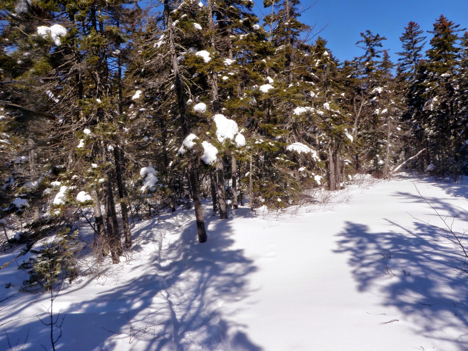
The snow covered trees in the woods down low right off the Hancock Notch Trail.
The junction for the Hancock Notch Trail and Cedar Brook Trail, which also leads to the Hancock Loop Trail.
A frozen over swamp area along the Cedar Brook Trail.
This is the Cedar Brook Trail just past the Hancock Loop Trail. I decided to skip North Hancock and South Hancock for a bushwhack to Mount Hitchcock-East Peak. The snow from this point on the Cedar Brook Trail to the actual bushwhack was about ankle deep. Notice the barely visible old snowshoe track.
I am now entering the Pemigewasset Wilderness. I would start my bushwhack just after this sign, at the HOL (height-of-land). From here to the summit, i did not take many pictures due to the deep snow (knee to thigh deep in most spots) and the slow pace I was going at to get there. It was a little less than half a mile to the summit but it took roughly an hour to cover that distance. Very tough conditions solo
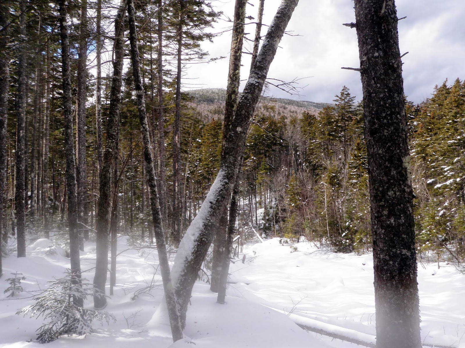
A view of North Hancock in between the snow covered tree's.
The very snow covered trees on the wooded summit of East Hitchcock (elevation: 3331 feet). The snow was almost thigh deep up here.
A nice moose area that would definitely be a wet place in warmer weather on the bushwhack back to the Cedar Brook Trail.
Finally back on the trail and hiking back to the car. There was a bit of moisture on the camera lens which is why they appear blurry in the bottom portions.
A nice hike in on the snowshoe tracks but a tough solo whack with horrible snow conditions made for a semi comfortable jaunt out in decent weather (for once, this winter). A little more than 7 miles puts a dent in the overall total but we can only hope, with much warmer weather, that the miles will start piling up more and more soon. Spring, please come soon!!!


No comments:
Post a Comment