Elevation gain: 2875 feet
Trails used: none. VAST (Vermont Association of Snow Travelers) snowmobile trails, bushwhack.
Highlight(s): open woods bushwhacks, register on the summit of Butterfield Mountain, register on the summit of Signal Mountain.
I got a rare day off from work so with the weather forecast for a perfectly nice (i.e no snow, no cold) winter day, I decided I wanted to get back to doing some hiking in Vermont. I kicked around various ideas, and decided on doing Butterfield Mountain and Signal Mountain, since they were nearby and I didn't have to worry about a car spot since I would be solo. I pulled into the Groton State Forest entrance off of Gore Road and geared up to begin my hike on snowmobile trails, then transition to snowshoes for the bushwhack to the summits of Butterfield Mountain and Signal Mountain.
Signal Mountain is located in Groton, Vermont. Butterfield Mountain is located in Orange, Vermont. Butterfield Mountain and Signal Mountain are also located in the Groton State Forest. There are no trails that go to the wooded,view-less summits of Butterfield Mountain and Signal Mountain so it requires a bushwhack to reach both high points.
Signal Mountain and Butterfield Mountain are on the Vermont One Hundred Highest List, the Vermont Two Hundred Highest List, and the Vermont 3K List.
I parked at the VAST parking area just outside of the Groton State Forest entrance off Gore Road. I was the only one here all day.
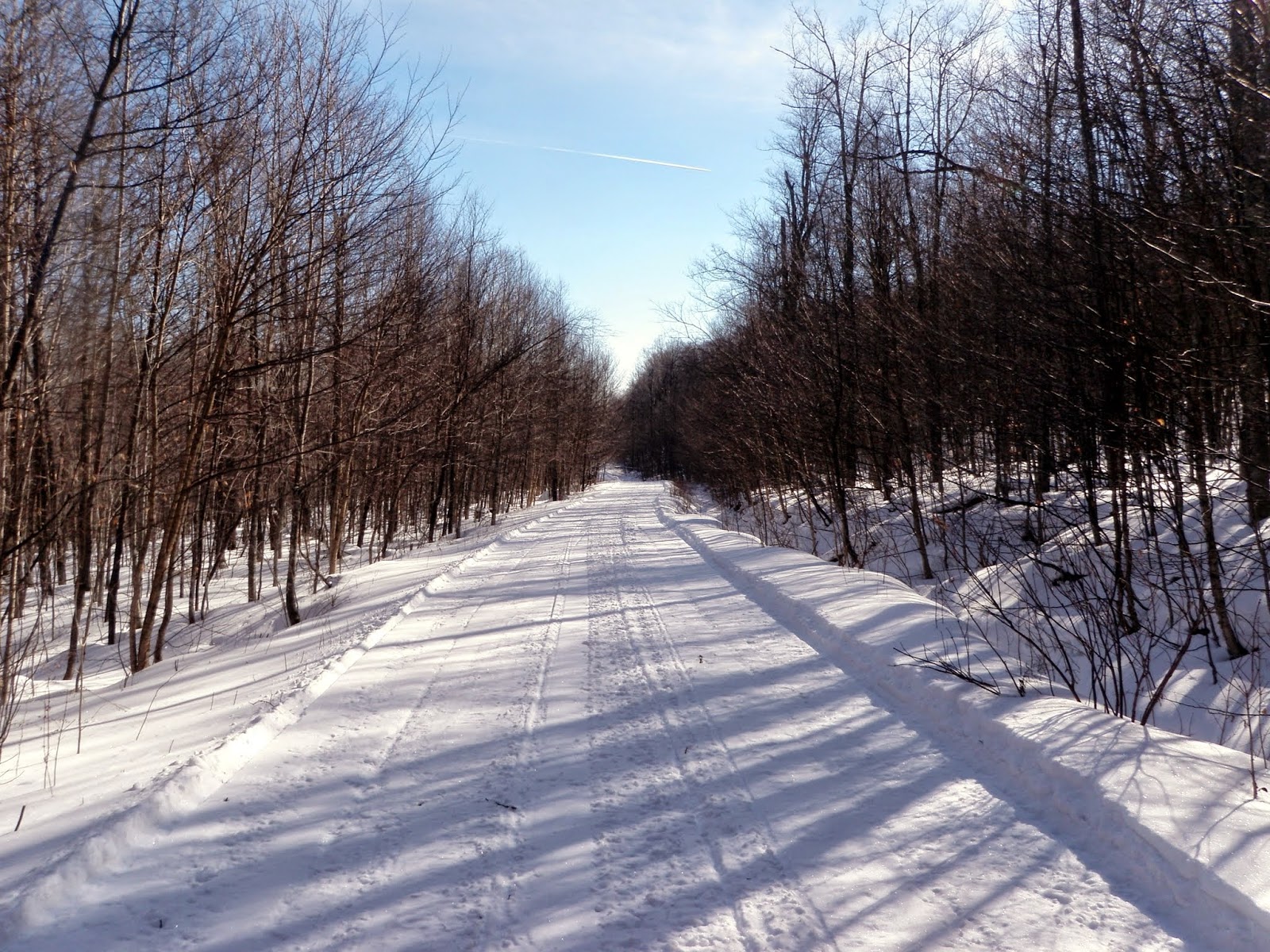
The beginning section of the snowmobile trail I started off hiking on. It was well groomed and wide which made for nice quick walking. There was very little snowmobile traffic today.
Sometimes when you are hiking, you come across some really weird and/or interesting things. This is a doe hide that someone decided to hang alongside the snowmobile trail.
There was also this tire hanging from a tree in the middle of nowhere.
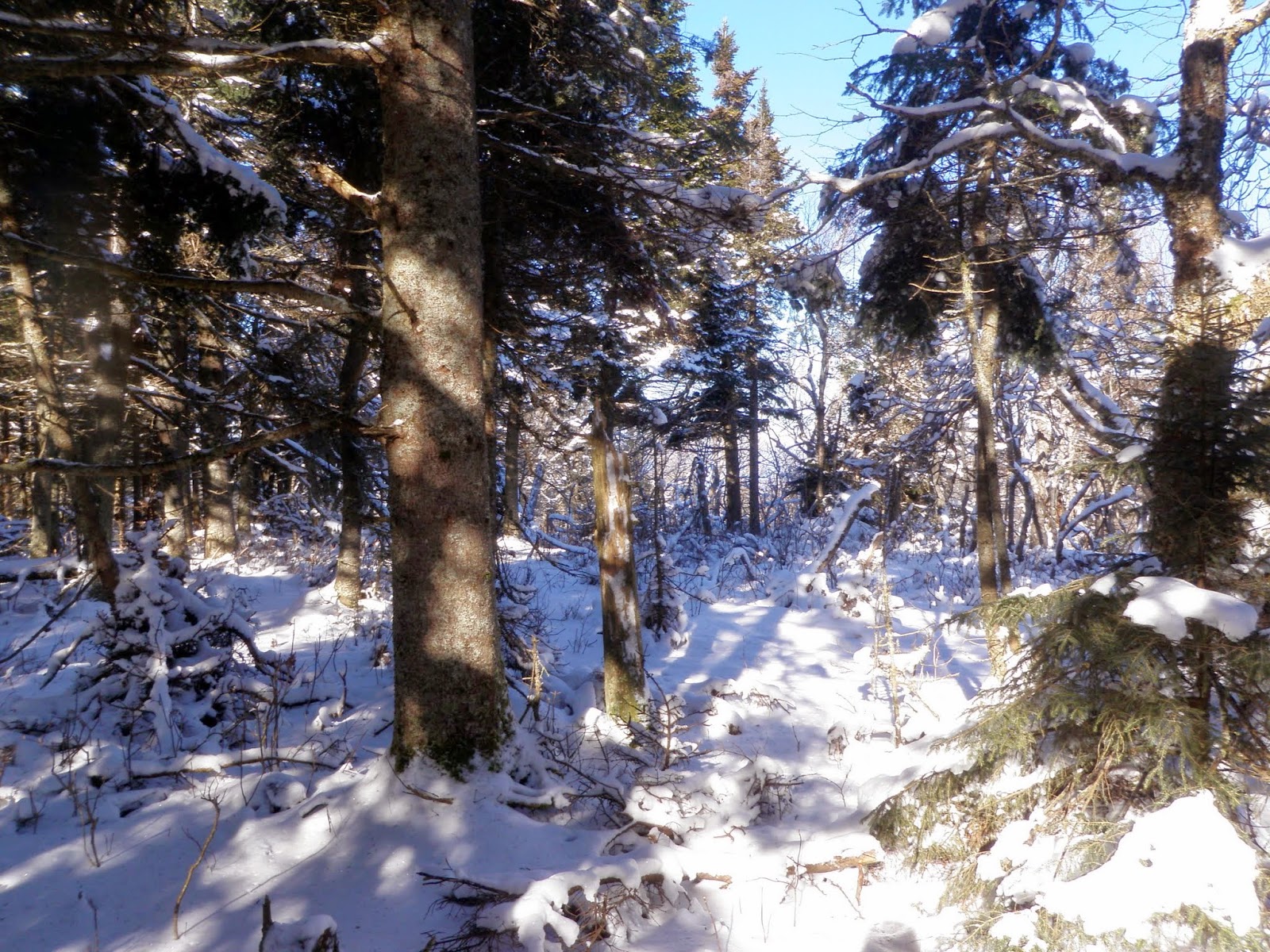
The woods were nice and open on my way up to Butterfield Mountain. I followed a mixture of old logging roads and old snowmobile tracks. The snow was never really deep and snowshoes were not used throughout the hike.
The woods nearing the summit ridge of Butterfield Mountain. I could see into New Hampshire with clear skies and there was zero wind. This is definitely perfect winter hiking conditions.
The woods on the summit of Mount Butterfield (elevation: 3167 feet). There was lots of recent moose activity here on the summit.
Me at the summit register for Butterfield Mountain.
The woods were just as nice heading back down to the snowmobile trail and made for a quick descent. The snow was a bit deeper in spots here but still easy to travel in.
Once back on the snowmobile trail, I would take this for about half a mile for my approach up to Signal Mountain. I like the snowmobile signs here in Vermont.
The way up was steep and direct but the woods stayed wide open. This is the view looking back towards Butterfield Mountain.
Me at the summit register for Signal Mountain (elevation: 3352 feet). It was not as open as Butterfield Mountain's summit but still just as easy to navigate.
I have been impressed with how nice the woods are in Vermont for doing bushwhacks. It only took me 20 minutes roughly to get back down to where I started my hike up.
Now, I am finally heading out. It was a quick 1.5 mile hike back to the car but it was nice and quiet. No snowmobile traffic to be seen all day.
Overall, this was a quick solo hike of about 8.5 miles through beautiful woods with nice weather to boot. Having the snowmobile trails to use to access these peaks made it that much easier. I will say that I really like hiking in Vermont and there will be more reports to come. Any day not working is a good day in the woods!


Did a similar hike of just Signal Mountain in winter 2014
ReplyDelete