Elevation gain: 880'
Trails used: Piper-Whiteface Trail, Whiteface Trail.
At first, Sunday looked like a total washout due to the rain that moved in overnight on Saturday. Desi and I had initially thought about doing a hike but it was pretty much ruled out when we woke up to cold, dreary conditions. That decicion quickly was reversed at about 1030 am when the rain stopped and the clouds started to part. We got dressed quickly and headed out to do a hike in the Belknaps. This would be our time on this particular peak in the Belknaps, which has yet to disappoint.
Whiteface Mountain is located in the southwestern region of the Belknap Mountain range in Gilford, New Hampshire. This is a trailed hike to a cleared summit with good views in all directions, especially from some ledges on the northern side of the summit.
Whiteface Mountain is on the Belknap Range Hiking List which consists of 12 peaks.
We parked at a pull-out just before the class VI road that heads into the woods and and turned onto the Piper-Whiteface Trail not too far from the parking area.
You pass this Lakes Region Conservation Trust (LRCT) kiosk at the start of the trail, complete with a Belknap Range map.
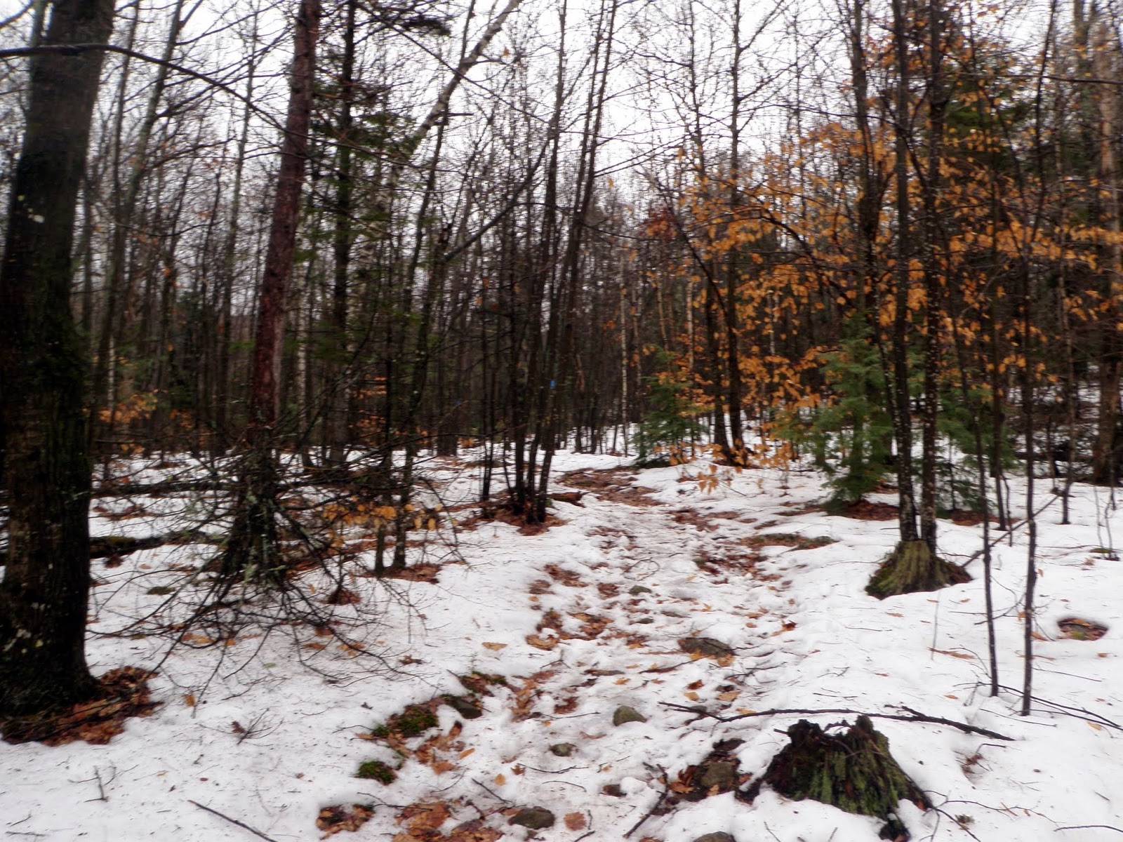
It was wet on the trail from the prior day's rain, plus warmer temperatures melting the snow a bit. This section of trail is on an old eroded road.
The trail was moderate as far as steepness goes. It never felt too strenous and was easy to follow. The higher we went, it was a mix of bare ground, snow and ice.
The Piper-Whiteface Trail is blazed in blue, and like I said, easy to follow.
Eventually you come to the junction of the Piper-Whiteface Trail, Whiteface Mountain Trail, and Whiteface-Piper Link Trail. Going left at this junction takes your towards Piper Mountain. We would go right, through a gap in this rock wall and head towards Whiteface Mountain on the Whiteface Mountain Trail.
Desi walking along the Whiteface Mountain Trail through this open meadow with Whiteface Mountain's summit visible on the left.
Right around an old jeep road that is currently used by ATV's. This was probably the section of trail with the most snow and ice.
Looking over to Mount Kearsarge (in the clouds, left) and Ragged Mountain (right) from just below the summit of Whiteface Mountain.
Views south of Durrell Mountain, Grant Hill and Lamprey Hill from the summit of Whiteface Mountain (elevation 1670').
The clouds tried to part but they were having a tough time. This is looking towards Piper Mountain, Mount Klem and Mount Mack from the summit of Whiteface Mountain.
Looking north towards the Ossipee Mountains, which are mainly in the clouds. Red Hill is just visible to the right and to the left of a ridge of Gunstock Mountain.
Another view of Piper Mountain and its ledges on and around its summit area.
We reversed back the way we came up and made a quick return back to the car.
Not too bad of a decision on our part to head out, although if we had waited a bit longer the sun may have come out a bit more. All in all, a nice little family friendly hike as most of the Belknaps have been. There is a bit of everything for everyone; easy trails, views, nice woods, etc.
This hike also effectively ended our hiking for 2014. What a year it has been with a few ups and downs (no pun intended), but we managed to make the most of it. Thank you to everyone who has contributed to my other blog and the fundraising endeavor Brian and I embarked on to help find a cure for Multiple Sclerosis. We managed to raise a little more than 2000 dollars for the year.
May 2015 be a wonderful year for everyone!!


No comments:
Post a Comment