My Pages

Sunday, April 10, 2016

Hall Mountain (NH) 4/10/2016

Hall Mountain

Location: Candia, New Hampshire
Mileage: 2.15 Miles
Elevation Gain: 475 Feet
Trails Used: Hall Mountain Trail, Bushwhack
Views: None, Wooded Summit
Hiking Lists: None

The weather was supposed to be nice, so a Sunday morning hike sounded perfect. I thought we could do something short with minimal elevation gain, close by, and still have time for errands afterward. Having hiked Bear Hill a few years ago, I figured we could visit the high point in Bear Brook State Park. We pulled into the Hall Mountain Trailhead parking area off Podunk Road, hopped out of the car, and started the hike without backpacks.

Hall Mountain is located in Candia, New Hampshire and also in Bear Brook State Park. Hall Mountain is also the highest point in Candia. There are no trails that go to the wooded, view-less summit of Hall Mountain so it requires a combination of trails and a bushwhack to reach its high point. There are no views, or diminishing views, from the summit of Hall Mountain-Northwest Peak.


The Hall Mountain Trailhead parking area is just off Podunk Road, and the trail begins between two large boulders.


The Hall Mountain Trail begins as an old forest road, then transforms into a snowmobile route in winter, winding its way around the summit of Hall Mountain.


The pill bottle register sits at the highest point of Hall Mountain, at an elevation of 941 feet.


We chose to bushwhack our way to Hall Mountain-Northwest Peak instead of taking the Hall Mountain Trail, mostly because we didn’t realize it led to the lower summit.


The summit of Hall Mountain-Northwest Peak is crossed by the Hall Mountain Trail, which continues beyond it. There’s not much to see from up here, as the views are pretty limited.


The wooded summit of Hall Mountain-Northwest Peak reaches an elevation of 920 feet.


This geocache is located at the summit of Hall Mountain-Northwest Peak, so be sure to bring something to write with.


While the views from either summit weren’t much to speak of, I did manage to snap this shot of Fort Mountain from a random bump along the bushwhack to the Hall Mountain Trail.


We returned to the Hall Mountain Trail for a quick round trip from start to finish. It was a pleasant hike through the woods, and the bushwhack was about as easy as it gets in New Hampshire. We only covered the route from Hall Mountain to Hall Mountain–Northwest Peak, but the trail continues on, with more paths in the park to explore another time.

Hall Mountain is the highest point in the town of Candia, New Hampshire and is located in Bear Brook State Park

Saturday, April 2, 2016

Fairington Cemetery Peak * Mount Anthony: 4/2/2016

I had planned to hike in Vermont this Saturday and Brian messaged me about possible hiking plans (he had other plans he was sorting through). We threw some idea's back and forth of hikes we could cobble together, and a rough plan was hashed out. We would stick to Vermont though, and try to make a day of it. Unfortunately, the weather was not going to play nicely and as we drove into Vermont, it started off rather dreary. It rained a bit before we got to the area where we would start this hike, and it was a bit on the cool side so let the adventure begin.


Fairington Cemetery Peak

Mileage: 6 miles
Elevation gain: 1675 feet
Trails used: none. road walk, bushwhack.
Highlight(s): none. 


I have looked at this peak for some time, and drove by it quite a few times wondering exactly how to access it. Its tough due to the wind turbines that reside along the ridge line, although snowmobiles used to have access to the area. I found a recent report that mentioned how the person managed this one so I thought we could finally give it a go. Brian was okay with this being a first hike as it should be a quick out and back, but as usual, since it is Brian and I plans don't work out like they should. We headed past the gated road to start the days hike.

Fairington Cemetery Peak is located in Readsboro, Vermont. There are no trails that go to the wooded, view-less summit of Fairington Cemetery Peak so it so it requires a bushwhack to reach its high point.

Fairington Cemetery Peak is on the Vermont One Hundred Highest List, the Vermont Two Hundred Highest List and the Vermont 3K List.


We parked besides the Fairington Cemetery and walked behind the gated road, where we would take a combination of woods roads, bushwhack and access roads towards the summit of Fairington Cemetery Peak.


We walked down an old road but realized it was going in the complete wrong direction, so we ended up bushwhacking. We came across these gnawed on trees. This one (although not pictured) was about 10+ feet high roughly and gnawed pretty much to the top.


As we continue the bushwhack towards Fairington Cemetery Peak, I looked back to get the views of Fairington Cemetery Peak-West Peak and Route 8.


The peak to the northwest of Fairington Cemetery Peak that I mistakenly thought was the high point, which is the peak to the southeast. We searched for a jar for a good ten minutes before I realized my error.


The open woods as we bushwhack to the col in between the two summits.


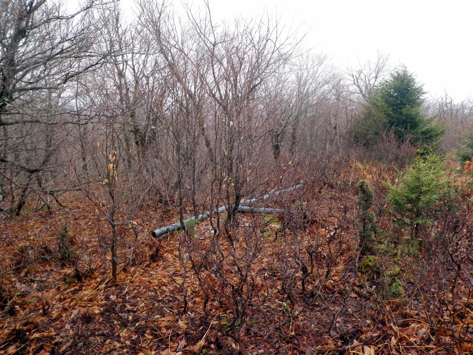
We followed a recently cut ATV road over towards the summit of Fairington Cemetery Peak, where these old pipes (possibly for an old wind gauging tower) were lying right off of the path.


The only view we managed to get as we are near the summit area of Fairington Cemetery Peak looking towards Mount Greylock, in Massachusetts. 


Brian checking out the register (which might be a total loss, I am trying to dry it out to save it) on the summit of Fairington Cemetary Peak (elevation: 3110 feet).


We made it back to the wind turbine access road as it started snowing, fairly heavily. It stopped by the time we got back to the car.


We made a hasty retreat down the wind turbine access road and back to the car in a wintry mix. We decided to try another hike, even though this hike took longer than expected due to my route finding blunder and we still had time for another hike or two depending on the weather. Sometimes things work out the way you want them too; but sometimes you get frustrated and it becomes more of a job and less of a fun pastime. 


Mount Anthony

Mileage: 3.8 miles
Elevation gain: 1540 feet
Trails used: unknown. bushwhack.
Highlight(s): none.


We had a couple of other peaks in mind, but after a route finding blunder on the first hike and the snow/rain we encountered, we looked for something possibly easier to do. I managed to make the hike to Fairington Cemetery Peak longer than it needed to be, thus I was frustrated and not really in the mood to continue with the cold and rain/snow. While Brian drove, I looked in the Vermont Gazetteer and noticed, since we were passing through Bennington anyways and the peak I was seeing on the page looked like it had a trail to it, we decided to check it out. I looked up information on my cell phone and got a rough idea where the trail head would be. When we arrived at the trailhead parking area on Southern Vermont College, we geared up and checked out the map before we headed towards the summit of Mount Anthony.

Mount Anthony is located in Bennington, Vermont. There are trails that got to the summit of Mount Anthony, although they can be a bit confusing as you can find yourself hiking along old logging cuts and not the actual trail system. There are no views from the wooded, view-less summit of Mount Anthony.


Brian is all geared up for the hike up to Mount Anthony. We parked on the campus of Southern Vermont College and tried to make sense of the hiking trail map.


Possibly an old well or some sort of architecture as we begin the hike on what we think was the Summit Trail, but due to the lack of blazes we were not sure.


The trails in the area are mainly old logging roads, like this one so it made it hard to figure out if we were on an actual trail or just using an old road.


There were no views from the summit of Mount Anthony but there was this communications array which explains the tower we thought we saw up here.


The actual high point area for Mount Anthony (elevation: 2340 feet).


Hiking back down an old logging road. At some point, we missed the turn for the trail off of the summit of Mount Anthony and just ended up bushwhacking back to the car pretty much.


This weird headless statue was on the way back to the car.


Defeated by the weather and the hikes themselves. Both of these hikes were a royal let down, especially Mount Anthony where we were teased with possible views only to find a wooded summit with a communications tower with zero views (unless you looked through the trees). I guess the only good thing about the second hike is that the weather improved enough to at least have some sunshine and warmer temperatures. 

Sunday, March 13, 2016

Ayers Pond Peak * Ayers Pond Peak-Northwest Peak: 3/13/2016

Mileage: 3.60 miles
Elevation gain: 1295 feet
Trails used: none. road walk, bushwhack.
Highlight(s): register on the summit of Ayers Pond Peak, register on the summit of Ayers Pond Peak-Northwest Peak.


I did a three peak hike the day before on Saturday but Sunday was supposed to be nice, so I asked Desi if she wanted to go for a hike somewhat nearby to the house. Well, maybe not a hike per say, but a hike in to where we would bushwhack to two or three peaks in the area. I figured the woods wouldn't be too bad if we ended up having to bushwhack for more than a mile (I had been up in this area several times before so I knew there was extensive logging in the recent past). It is about a 20-30 minute drive from the house to where we would start the road walk and then the bushwhack, and the weather was sunny and seasonably comfortable for a March winter hike.

Ayers Pond Peak is located in Bradford, New Hampshire. Ayers Pond Peak is also the highest point in Bradford. Ayers Pond Peak-Northwest Peak is located in Washington, New Hampshire. There are no trails that go to the wooded, view-less summits of Ayers Pond Peak and Ayers Pond Peak-Northwest Peak so it requires a bushwhack to reach their high points. 


We parked on the side of the Old Mountain Road and walked up the road, looking for a good spot to begin the bushwhack up to Ayers Pond Peak.


Open woods down low as we continue the road walk along Old Mountain Road.


We took this old logging road up to the col in between Ayers Pond Peak and Ayers Pond Peak-Northwest Peak.


As we climbed along the old logging road, I looked back to get a picture of Mount Kearsarge through the tree's.


Still heading up towards the summit of Ayers Pond Peak as we look for a good spot to start the bushwhack to the summit area.


I am disappearing into the trees as we head up to the summit area of Ayers Pond Peak.


The open woods between Ayers Pond Peak and Ayers Pond Peak-Northwest Peak.


Walking along the summit area of Ayers Pond Peak checking for the high point and register.


The jar register on the summit of Ayers Pond Peak (elevation: 2096 feet).


Once back in the col, we make the somewhat steep climb through open woods towards the summit of Ayers Pond Peak-Northwest Peak.


As we climbed higher, I looked back to this view of Ayers Pond Peak. 


This would be as thick as the woods would get as we neared the summit of Ayers Pond Peak-Northwest Peak.


Here I am signing the register on the summit of Ayers Pond Peak-Northwest Peak (elevation: 2087 feet). 


The open woods as we begin our descent back towards the old logging road, and then back down to the car to end the day.


This one wasn't as bad as I expected it to be, as we were able to use one central old logging road to access both peaks plus the woods were open enough not to be a problem. Thus, we found the high points for both peaks relatively easily. Once we were back on the old logging road it was a quick road walk back to the car.

Friday, March 4, 2016

Indian Pond Mountain * Lake Constance Mountain: 3/4/2016

I took Friday off to do a few hikes and once again, I had a few peaks picked out to do but I had very little ambition to do more than one or  two today. When I pick my hikes, I try to find peaks that are close by. Sometimes it works out; sometimes I strike out and have to find a back up plan. I do spend a lot of time driving around looking for good legal ways to access certain peaks and hikes so if I do one or two a day, it's a win in my book. I brought just enough cold weather gear to get by for the day, and I did not bring my backpack on either hike as they were on the shorter side and used roads for a majority of both.


Indian Pond Mountain

Mileage: 2.75 miles
Elevation gain: 790 feet
Trails used: none. road walk, bushwhack.
Highlight(s): none.


My first hike was a bit of a drive and I lucked out on access for this one as it would be a road walk and shorter bushwhack through open woods. I was able to drive in a ways to a junction, where the road turned into a class V or VI type road which usually means unless you have an 4wd vehicle, you probably can't get down the road very far or its not maintained in winter. I was able to Microspike my way down the ice covered road to where I wanted to start my bushwhack, passing several houses along the way (that were occupied, even in winter).

Indian Pond Mountain is located in Orford and Piermont, New Hampshire (the actual summit is in Piermont). There are no trails that go to the wooded, view-less summit of Indian Pond Mountain so it requires a bushwhack to reach its high point.


I walked up Piermont Heights Road, which one can only drive in the summer season. There are a few houses up this road, hence the tire tracks.


I headed off the road steeply up to this recent logging cut, with views looking towards nearby Piermont Mountain.


This is as thick as the woods would get for this hike as I near the flat summit area of Indian Pond Mountain.


The high point of Indian Pond Mountain (elevation: 1975 feet). There were several bumps on this rather flat summit that could potentially be the highest point.


This is the area coming off the summit of Indian Pond Mountain where I found a moose antler. I walked almost the same route out and back to the car.


I reversed course and headed back down the way I came up. On the way down, I found a decent sized moose antler so I decided to haul it out since it wasn't that heavy so I could give it to my friend Keith. I got back to the car, threw my pack in the back and began the drive to the next hike which was a fair distance from my first hike.


Lake Constance Mountain

Mileage: 3.30 miles
Elevation gain: 900 feet
Trails used: none. road walk, bushwhack.
Highlight(s): views from the cabin and ledges below the summit of Lake Constance Mountain.


I want to say the drive to my next peak was right around the corner (and maybe it looked that way on the map) but it still took me about 30 minutes to get from the first hike to this one. I have passed the road I would use to take up to my next peak and I know hunter's use it during hunting season, as well as people who go up to Lake Constance to possibly fish (I saw tracks heading towards that direction). When I arrived and parked at my target destination, I threw on my Microspikes and headed up the road towards the summit.

Lake Constance Mountain is located in Piermont and Haverhill, New Hampshire (the actual summit is in Haverhill). There are various old logging roads that you can use, as well as a trail that I found out about after the fact (John Wolter Trail), that goes to the summit area of Lake Constance Mountain. There are views from the cabin just below the summit of Lake Constance Mountain.


I parked on the side of the road off of Route 25C and took this logging road/forest road up towards the summit of Lake Constance Mountain.


The views looking towards the summit of Lake Constance Mountain. It was around here that I turned onto an old logging road and began my climb to the summit.


I would use a few old logging cuts to head up to the summit of Lake Constance Mountain.


This little section of semi thick woods is roughly the high point of Lake Constance Mountain (elevation: 2053 feet).


The views from just below the summit of Lake Constance Mountain looking towards Piermont Mountain, with Smarts Mountain behind it.


The views from the hunters cabin below the summit of Lake Constance Mountain looking towards Mount Moosilauke, Mount Jeffers and Owls Head.


This is the little hunters cabin is just below the summit of Lake Constance Mountain.


I followed the road from the summit of Lake Constance Mountain but unsure of where it went exactly, I ended up bushwhacking back down to almost where I first started heading up to the summit. Apparently there is a trail of some sort that comes up to the summit but I am not sure exactly where it originates from. I'll have to research this one so I can return here as it was a pleasant enough surprise with the views and relative ease of the hike. Indian Pond Mountain was a nice walk in the woods made better with the moose antler find on the way back to the car.