My Pages

Saturday, December 26, 2015

Young Mountain - Young Mountain-East Peak (NH) *12/26/2015*

Young Mountain - Young Mountain-East Peak

Location: Sandwich, New Hampshire
Mileage: 3.9 Miles
Elevation Gain: 1335 feet
Trails Used: None. ATV/Snowmobile Trail, Bushwhack
Views: Ledge Views on Young Mountain-East Peak
Difficulty: Moderate
Hiking Lists: None


I had originally planned to hike Square Ledge and possibly Mount Paugus, starting up the Big Rock Cave Trail, but soon felt some mild chest pain and a pounding headache. I took a break and decided not to risk a long hike, so I headed back to the car in search of something easier. After taking a couple of Advil, I drove down the road and opted for a bushwhack instead. Feeling much better by then, I threw on a coat and set off, whether it was a wise choice or not.


I walked into the woods just beyond the parking lot at the end of Bennett Street.


It was fairly steep, with the woods consisting of newer regrowth forest from extensive logging both recently and in the past, but still easy to walk through.


Catching glimpses of Flat Mountain and Mount Whiteface through the trees on my way up to the summit of Young Mountain.


Just below the summit of Young Mountain, I came across a red-blazed unofficial trail leading up to the top.


The jar sits on the wooded summit of Young Mountain, at an elevation of 1,986 feet.


I descended steeply into the col between the main peak of Young Mountain and its eastern summit, passing through a damp area. There, I found an ATV/snowmobile trail that I followed to reach Young Mountain’s East Peak.


The summit of Young Mountain’s East Peak has an elevation of 1,529 feet.


From a small ledge near the summit of Young Mountain’s East Peak, the view stretches out toward Mount Shaw and the Ossipee Range.


Glancing back at the steep summit cone of Young Mountain while making my way down the ATV and snowmobile trail.


Following the snowmobile trails toward Bennett Street, I stumbled upon a few old cars hidden in the woods, relics from a bygone era.


I took the ATV and snowmobile trail through the open woods, heading back down to Bennett Street.


Getting ready for the half-mile road walk back to the parking area, with beautiful views of Sandwich Dome. What a perfect day for a hike.


While I failed on my original hike, this one was pleasant and a nice bushwhack through open woods. It was nice finding the old car relics in the woods along the ATV/snowmobile trail and the slight views from Young Mountain-East Peak broke up a mediocre views hike. The weather was nice; not too cold and not too hot.

Tuesday, December 22, 2015

Stairs Mountain-East Peak (NH) *12/22/2015*

Stairs Mountain-East Peak

Location: Sargents Purchase, New Hampshire
Mileage: 10.55 Miles
Elevation Gain: 4250 Feet
Trails Used: Davis Path, Stairs Col Trail, Bushwhack
Views: Views from Ledges Below Mount Crawford
Difficulty: Moderate/Difficult
Hiking Lists: None


The first day of winter seemed perfect for a hike. I had taken the day off about a month ago, as Brian and I planned to tackle a peak or two for the start of the winter season. Brian ended up having a family emergency, which actually worked out for him since the forecast predicted heavy rain in New Hampshire by midday. My plan was to hike up the Davis Path, head to Stairs Mountain-East Peak first, then backtrack to Stairs Mountain, and finally reach Mount Resolution. The only concern was the bad weather, which I hoped to avoid. After gearing up quickly, I set off toward the Davis Path to begin my long day of hiking.


I parked at the Davis Path Trailhead, quickly geared up to outrun the looming rain, and made my way down the road to start the hike.


You cross the Bemis Bridge over the Saco River and continue on toward the beginning of the Davis Path.


The Saco River is running pretty low for this time of year, with no sign of ice yet.


The Davis Path trail kiosk greets you as you enter the Presidential Range–Dry River Wilderness.


This rock stair section along the Davis Path seems to grow longer and more impressive every time I hike it.


A steep stretch of the Davis Path leads to some ledges just below the summit of Mount Crawford.


From the ledges just below Mount Crawford’s summit, you can take in sweeping views of Mount Hope, Bear Mountain, Bartlett Haystack, and Mount Tremont.


From the ledges just below Mount Crawford’s summit, there are stunning views stretching toward the Attitash Ski Area and Mount Parker, with the ski slopes notably bare of snow.


Walking along the Davis Path, I glanced back and snapped a photo of Mount Crawford’s summit. The rain was still holding off, but from this point to the Stairs Col Trail junction, I began to come across patches of snow and ice.


From the ledges just below Mount Crawford’s summit, the view toward Crawford Notch is stunning, with rain clouds slowly rolling in.


Looking back at Stairs Mountain while descending the Stairs Col Trail.


I made my way down the Stairs Col Trail, where the snow was deepest, until I reached the spot where I would begin bushwhacking toward the summit of Stairs Mountain’s East Peak.


The woods along the bushwhack were fairly open at first, but began to close in as I approached the summit of Stairs Mountain–East Peak. Right about then, the rain started to fall.


The canister register sits atop the summit of Stairs Mountain-East Peak, at an elevation of 2,985 feet. With new LIDAR data, this peak no longer meets the 200-foot prominence required for the NH 200 Highest list.


Heading back up the Stairs Col Trail while the pouring rain turns the snow into slush.


I made my way back down in a steady, sometimes heavy, rain and reached the stream crossing, which was only a little higher than when I first crossed.


I considered sticking to my plan and climbing the two other peaks I had in mind, but the steady rain and cooler temperatures were starting to soak through my clothes. With nearly four miles left to walk back to the car and a pretty bad leg cramp setting in, the decision wasn’t hard. Once I reached the car, I blasted the heat to warm up and dry off before making the long drive home.


Saturday, December 19, 2015

Moose Pond Mountain-East Peak - Moose Pond Mountain-West Peak (NH) 12/19/2015

Moose Pond Mountain-East Peak - Moose Pond Mountain-West Peak

Location: Albany, New Hampshire
Mileage: 7.05 Miles
Elevation Gain: 2010 Feet
Trails Used: None, Forest Road, Bushwhack
Views: None, Wooded Summits
Difficulty: Moderate
Hiking Lists: None


Joe and I planned a hike out for Saturday, although he kept telling me how slow he would be after his knee and ankle injuries but since I was in no hurry, we could go as slow as needed. It was a multi-purpose hike/bushwhack as Joe wanted to try and find a waterfall off of the Kancamagus Highway, and I wanted to hit the two peaks to the northeast of Blue Mountain, which is a sub peak off of Mount Chocorua. Worst case is he would continue on looking for the falls and I would hit the two peaks, if time were a concern. The weather was not bad for a December day, with no snow forecasted and nice temperatures.


The gated Forest Road 49 which is right off of the Kancamagus Highway. We would hike along the road and use it to try and find Ellen Falls first, then bushwhack to both summits of Moose Pond Mountain.


The Forest Road was a bit overgrown but easy to follow, until you come to the first water crossing. You would probably need a GPS to continue following it at this point.


A section of Hobbs Brook as we crossed and bushwhacked along its banks looking for Ellen Falls ,which we overshot by at least a mile.


Eventually we began the bushwhack through open woods as we headed at moderate grades to the eastern summit of Moose Pond Mountain.


No snow made for easy bushwhacking. Add to the fact that the woods were open like this and it was an awesome late fall day to be out.


The views looking towards nearby White Ledge (and into Maine) from a ledge just below the eastern summit of Moose Pond Mountain.


A neon green rope or shoelace marks the high point for the wooded summit of Moose Pond Mountain-East Peak, elevation 2360 feet.


The views as we are heading down from Moose Pond Mountain-East Peak of Table Mountain and Bear Mountain, with the Moat Mountains to the left. Mount Washington is in the clouds in the background of the picture.


We managed to find Moose Pond, a neat little pond in between the two summits of Moose Pond Mountain.


Some ledges leading up to the western summit area of Moose Pond Mountain.


I walked the entire wooded summit ridge of Moose Pond Mountain-West Peak, elevation 2360 feet but did not find anything of significance. There were several areas I would consider a high point.


Joe bushwhacking down from the summit of Moose Pond Mountain-West Peak through open woods, of which there was quite a bit of hobblebush.


Joe trying to find one of the ledges he saw on Google Earth, which we did not manage to find on today's hike.


The steepest part of our descent as we headed down this gully or drainage. We had to sit down and scoot on our behind's since it was slippery and steep.


We worked our way down through woods like this, newer regrowth forest from logging done a few years ago.


We managed to make it to an old logging road and took it back to the original forest road we began the hike on. Joe and I decided to part ways at this point as Joe wanted to look for Ellen Falls (which he eventually found) and I was heading back into Lincoln to do some Christmas shopping. There was no snow whatsoever which is rare this time of year, so it made for a nice walk in the woods. Finding Moose Mountain Pond in between both peaks was a nice little bonus find for the day.

Saturday, December 12, 2015

Bean Mountain * Kennedy Hill * Patten Hill * Jones Hill (Hillsborough): 12/12/2015

Brian was going to originally hike up in the Mount Carr/Mount Kineo area up north in New Hampshire but I convinced him to do some peaks with me in southern New Hampshire, closer to our homes. We both did not want to be out for long Saturday for various reasons, so it was an easy choice for what to attempt to do. Plus, the weather was calling for 50 degree temperatures and sunny so how can you beat that kind of hiking weather in late fall/almost winter.


Bean Mountain - Kennedy Hill

Mileage: 5.75 miles
Elevation gain: 1430 feet
Trails used: none. bushwhack, road walk.
Highlight(s): open woods bushwhack, register on the summit of Bean Mountain and Kennedy Hill.


We tried Bean Mountain earlier this summer but were turned back by access issues on the southwestern approach we were going to use. This time I had good information to attempt it from a different direction and it would be quite a bit shorter than what I originally planned.

Bean Mountain and Kennedy Hill are located in Lempster, New Hampshire. Bean Mountain is also the highest point in Lempster. These two peaks are two of the twelve wind turbines and are part of the Lempster Mountain Wind Power Project. There are no trails that run to the summit of Bean Mountain and Kennedy Hill, so it requires a bushwhack to reach the wooded view-less summit of both peaks. There are views just below the ledges of Bean Mountain and along the turbine access road. We also noted ATV/snowmobile signs so a portion of the access road is used by them. 


We parked at the gated Pillsbury State Park Road off of Route 31 and headed into open woods.


It was early morning so we started getting alpine glow in the trees as we headed up towards the summit of Bean Mountain.


The woods on the bushwhack up to the summit of Bean Mountain turned into this, but still stayed open and easy to walk through.


The views from some ledges just below the summit of Bean Mountain looking towards May Pond in Pillsbury State Park, with Kittredge Hill and the long southern ridge of Sunapee Mountain.


Hiking up this ledge area as we near the summit area of Bean Mountain. We could hear the wind turbines on the way up to the summit.


The views from some ledges just below the summit of Bean Mountain looking towards Lovewell Mountain and May Pond. The sun was shining pretty good this early in the morning.


The tree where the canister on the summit of Bean Mountain used to be.


This cairn rests on the high point of Bean Mountain (elevation: 2326 feet).


We did a short bushwhack from the summit of Bean Mountain down to the wind turbine access road to begin the walk over towards Kennedy Hill.


Brian signing into the jar register on the summit of Kennedy Hill (elevation: 2159 feet).


Heading back up the access road and back towards Bean Mountain, where we would begin the bushwhack back down to the car.


On the way back down to the car, we hit open woods like this complete with a nice defined herd path/trail.


It was a quick hike back down although we had to divert off of the herd path as it led down to someones property. Once back at the car, it was still early enough for us to attempt to do another peak or two. What we ran into though, was access issues for several peaks. Dirt roads that turned into 4WD roads, access issues, dead end roads, and houses along the route with sketchy access. So we did what we usually do. Consult the gazetteer for suggestions.


Patten Hill

Mileage: 1.20 miles
Elevation gain: 360 feet
Trails used: none. ATV/snowmobile trail.
Highlight(s): none.


Sometimes there are those peaks or hikes where you aren't sure why you are doing them, other than they are there and you can do them. This was one of those hikes. We drove around and tried several peaks but what is sometimes on a map or gazetteer doesn't always pan out in real life. So we finally found something quick to do that hopefully we could get pretty close to the summit.

Patten Hill is located in Antrim, New Hampshire. There are summer houses surrounding the area where we parked off of an un-named road just off Gregg Lake Road. There is an ATV/snowmobile trail that goes to the wooded, view-less summit of Patten Hill and beyond.


We parked just below some summer homes on and walked a woods road, and probable ATV/snowmobile trail to the summit of Patten Hill.


The ATV/snowmobile trail passes over the summit of Patten Hill (elevation: 1380 feet).


Brian walking back down the ATV/snowmobile trail back to the car.


Walking back down the semi-private road and back down to the car.

An easy round trip hike. We walked past numerous summer homes, and a few had people that still reside there year round. It was a short walk just to stretch our legs after driving around for awhile. We looked for something else to do as we still had some time left.


Jones Hill (Hillsborough)

Mileage: 3.30 miles
Elevation gain: 690 feet
Trails used: none. road walk, bushwhack.
Highlight(s): open woods bushwhack.


Our last hike of the day after we drove around looking for things to do, and striking out more than once. There were two peaks in the area that I wanted to do but since neither one of us wanted to be out late (for various reasons) we decided it was one and done. Actually I decided to leave the other one for another day as it would have added another 1.5 miles to the day. This still turned out to be a pleasant enough walk in the woods.

Jones Hill is located in Hillsborough, New Hampshire. There is active logging going on down the Class VI road that begins at the end of Smith Pond Road. I imagine with a higher clearance vehicle, and less mud, we could have driven in further thus making the hike a bit shorter. There is no official trail to the wooded, view-less summit of Jones Hill so it was a mixture of logging road hiking and a bushwhack.


Walking up this active logging road at the end of Smith Pond Road. We parked just at the junction of Smith Pond Road and the boat ramp for Smith Pond.


Once we started the bushwhack, there were wide open woods all the way to the summit of Jones Hill. A perfect area for deer/moose hunting as well.
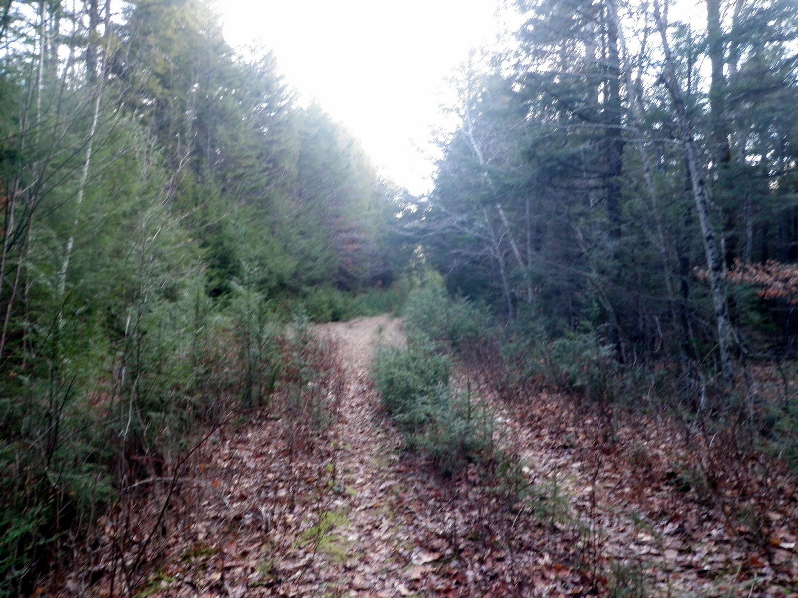

We are nearing the summit of Jones Hill. This whole area is being logged or has been in the recent past, which made it fun to walk through.
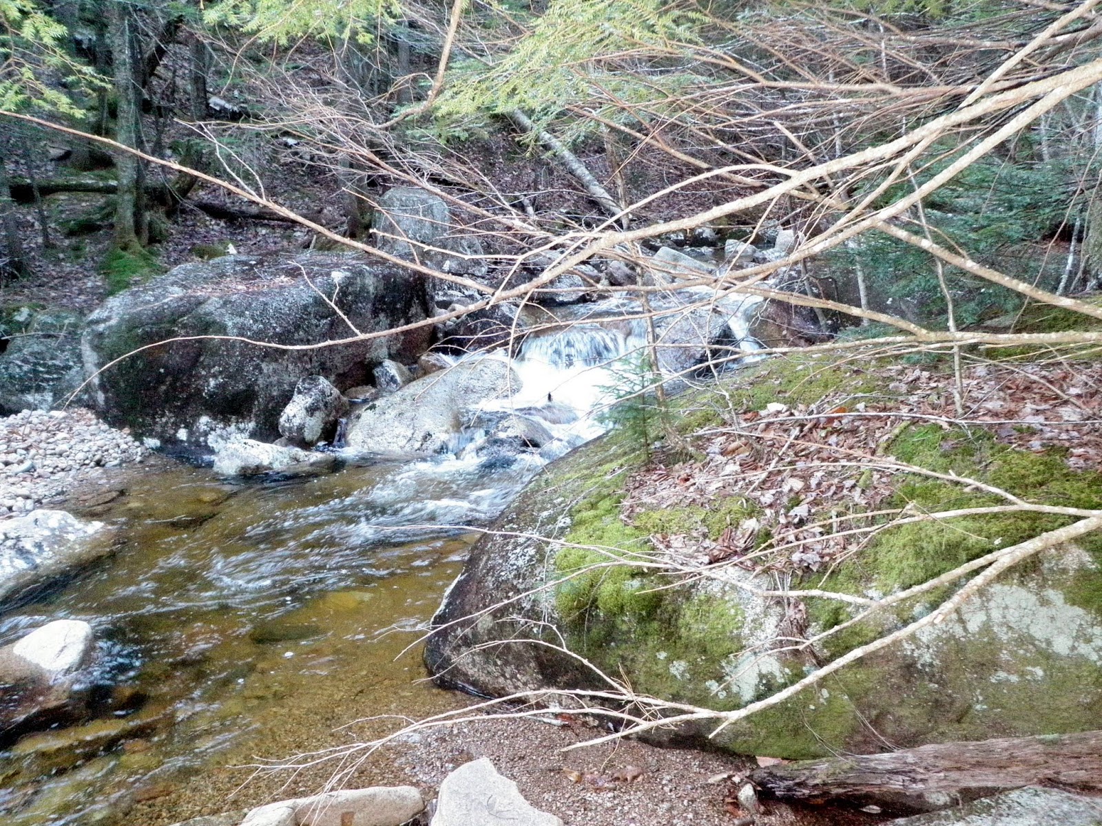

The high point of Jones Hill (elevation: 1654 feet). At this point, we headed back down to the road and then back to the car to end the days hikes.


Overall, a productive day hiking wise. Bean Mountain and Kennedy Hill I have wanted to hike for some time so it was a good day to get both of those peaks done. Patten Hill was fluff in the middle of those two hikes and Jones Hill, which added a distinct woodsy feel to the end of the day. The weather was also perfect; I think we both shedded heavier shirts and coats for most of the hikes and we went sans backpacks for Patten Hill.