My Pages

Saturday, May 28, 2016

Long Trail Hike (Hazens Notch to Tillotson Camp) Haystack Mountain * Tillotson Peak: 5/28/2016

Mileage: 14 miles
Elevation gain: 3390 feet
Trails used: Long Trail, Frank Post Trail.
Highlight(s): Long Trail, register on the summit of Haystack Mountain, views from the summit area of Haystack Mountain, register on the summit of Tillotson Peak.


Brian had discussed a plan for Memorial Day's weekend with me. We would continue from where we left off on the northern part of the Long Trail, and do another 22-23 miles over two days (Saturday and Sunday). This particular section would take us from Hazens Notch, over the numerous summits of Tillotson Peak, down to Belvidere Mountain (where we would take the short spur path to the fire tower on its summit, head down to cross Route 118 and then camp around Ritterbush Pond and the Devils Perch overlook. Day two would take us from there, over the summits of Bowen Mountain, Butternut Mountain and then the long jaunt over to Laraway Mountain and finally, reaching Codding Hollow Road where we would park my car. We had the basic plan down, we had the gear to do this, now we needed to put the plan into play. I met Brian at the exit 17 Park n' Ride, we stopped for gas and snacks and made the long drive into Vermont. Three hours later, and we had my car set up at the southern end where we would end the hike Sunday. Sadly though, the weather and several other factors came into play.

Haystack Mountain and Tillotson Peak are located in Lowell, Vermont. The Long Trail runs near the summit of Haystack Mountain, where a short spur path leads to the actual summit area. The Long Trail runs near the summit of Tillotson Peak, where a very obvious herd path leads to its actual summit area. There are views from the summit of Haystack Mountain and various spots along the Long Trail but with today's humid weather, they were hazy and hard to make out. 

Haystack Mountain is on the Vermont 3K List, Vermont One Hundred Highest List, and Vermont Two Hundred Highest List.


We parked the car at the Long Trail hiker parking area in Hazens Notch and made the short walk to the start of the Long Trail heading south.


From Hazens Notch to Haystack Mountain, it seemed like it was pretty steep and with the heat and humidity kicking in, this was tiring for me already.


Brian going around this comical rock, pointing us in the right direction as we continue towards the summit area of Haystack Mountain.


A view from along the Long Trail looking back towards Sugarloaf Mountain, a section of trail we did last October.


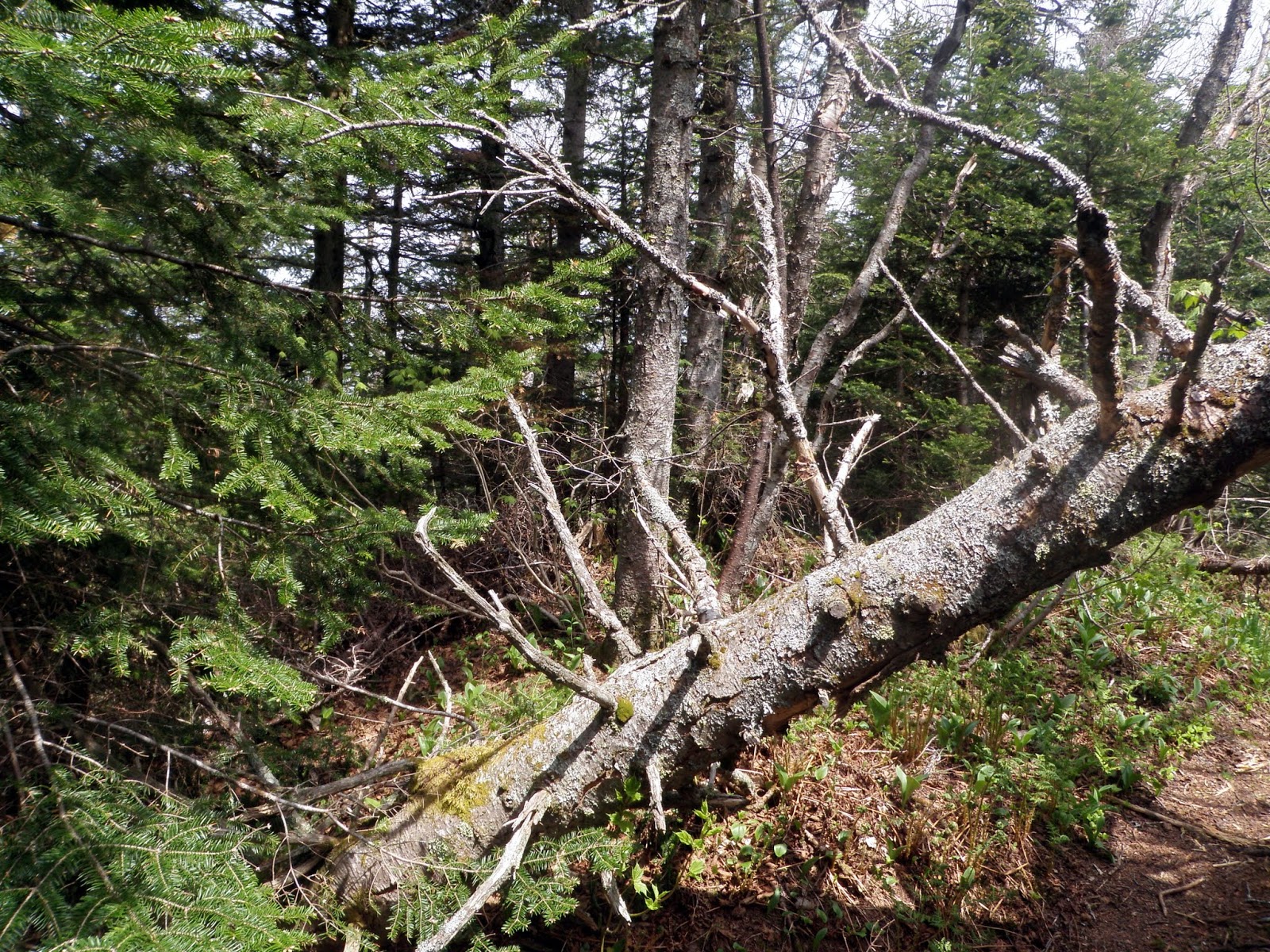
There were quite a few blowdowns along this section of the Long Trail, and massive amounts of moose droppings.

We dropped out packs to make the short 0.2 mile trek over to the summit area of Haystack Mountain, via this spur trail.


The views from the northern summit ledges of Haystack Mountain looking towards Buchanan Mountain, Gilpin Mountain, and Jay Peak/Big Jay (in the clouds). 


Surprisingly there was a small jar on the summit of Haystack Mountain (elevation: 3196 feet), even though the spur path goes right over the summit.


The views from the southern summit ledges of Haystack Mountain looking towards the multiple summits of Tillotson Peak and Belvidere Mountain.


The views from the southern summit ledges of Haystack Mountain looking towards the Lowell Mountain Range with its wind turbines.


 We continued along the very PUD filled section of the Long Trail between Haystack Mountain and Tillotson Peak. We saw a rabbit around this section of trail.


The nalgene bottle summit register on Tillotson Peak (elevation: 2999 feet).


This very obvious herd path runs directly to the summit of Tillotson Peak and was a carpet of moose poop so it is a popular area for them.


As soon as we made it to Tillotson Camp, we headed into the shelter to get out of the heat and humidity, and to escape the bugs that only became worse as the day wore on. I, also, suffered as we made the climb to Tillotson Peak and it seemed like I ran into a literal wall. I had no energy, I felt sick, and with a heavy pack it was like I was carrying someone during the hike. We stayed inside the shelter for a good hour and a half, as I took a brief snooze. When I awoke, I had to make the difficult decision to end the hike here instead of carrying on, trying to gut it out and make it up and over Belvidere Mountain and see how day two would turn out. I chose option one and Brian did not complain about the decision, although I beat myself up about it all the way down and back to the car.


The view, through the trees, of Belvidere Mountain and its fire tower as we are leaving the Tillotson Camp to head back down.


We decided to bail off of the Long Trail and take the Frank Post Trail, and make the long road walk back to Brian's car.


The Frank Post Trail was easy to follow and moderately steep in its upper section but mild and very pleasant down low.


There are several water crossings (minor) and you walk next to a brook for a bit in the lower sections of the Frank Post Trail.


This weird looking creature followed us for a bit and reminded me of the depictions of cows on South Park. 


It was a tough, long six plus miles of road walking back to the car. It wasn't until we were almost a mile from the car that we decided to drop out backpacks on the side of the road, and come pick them up when we got to the car. The bugs only got worse, the heat was pretty steady and the humidity had us using all of our water reserves pretty much before we got back to the car.

Do I regret having made the choice I did to return to the car and end the hike after only one day? While I felt bad physically, it was a mental battle with myself as I feel I let Brian down by not continuing on but sometimes its better to cut your losses and not make the problems worse. Four and a half miles in and stopping is an easier thing to handle than being ten miles in with an even harder escape route. I know we were both relieved to be back at the car and heading home early.

Sunday, May 22, 2016

Mount Kineo (NH) *5/22/2016*

Mount Kineo

Location: Ellsworth, New Hampshire
Mileage: 4.45 Miles
Elevation Gain: 1520 Feet
Trails Used: Mount Kineo Trail, Bushwhack
Views: None, Wooded Summit
Hiking Lists: NH 200 Highest/NH 3000 Footers


I had Wednesday off and went for a hike, but I worked yesterday so I couldn’t. On Sunday, I wasn’t sure if I wanted to hike or just stay home. If I did go, I was looking for something relatively easy, and after some planning, I settled on Mount Kineo. I’d done the hike and bushwhack there about five years ago, and it’s a great spot for moose sightings and exploring off trail. My goals for the day were to hike the section of the Mount Kineo Trail up to the height of land, reach the summit, and keep an eye out for moose antlers along the way. The weather was looking good with just a slight chance of rain, which sounded comfortable, but the bugs were intense, so I’d have to move quickly.


I took a side road off Hubbard Brook Road that usually leads to the Mount Kineo Trailhead, but two fallen trees blocked the way. So, I ended up walking 0.2 miles from where I parked to reach the trailhead.


Starting from the Hubbard Brook Experimental Forest side, I’d begin my hike on the Mount Kineo Trail, follow it up to the height of land, and then bushwhack through open woods to reach the summit of Mount Kineo.


The Mount Kineo Trail was moderately steep but easy to navigate, with occasional blue blazes marking the way. There were several wet spots along the route, and the bog bridges, unfortunately, were a bit worn and in need of repair.


I came across a game camera along the Mount Kineo Trail, which is used to monitor wildlife in the area.


The woods opened wide as I started the bushwhack to Mount Kineo’s summit. Moose scat was scattered all over the summit ridge, as shown in this picture.

 
The canister and weathered sign sit atop the wooded summit of Mount Kineo, standing at an elevation of 3,311 feet.


Rather than taking the same route down, I headed northeast through open woods, making my way back to the Mount Kineo Trail.


While bushwhacking down from the summit of Mount Kineo, I stumbled upon the final resting place of a moose, marked only by scattered hair and bones.


I came across a really old, gnawed-on moose antler and not much else. The area is clearly moose-heavy, with scat scattered everywhere and plenty of herd paths. I didn’t spot any other animals or people until I was driving out on Hubbard Brook Road. The black flies were out in force, swarming even more whenever I stopped or got back to the car. Still, it was just as enjoyable a hike and bushwhack as my first time on Mount Kineo.


Mount Kineo is the highest point in the town of Ellsworth, New Hampshire and is located in the Hubbard Brook Experimental Forest.

Wednesday, May 11, 2016

Plausawa Hill * unnamed peak (Chichcester high point) * Garvin Hill: 5/11/2016

Mileage: 2.45 miles
Elevation gain: 595 feet
Trails used: old logging roads, forests roads, bushwhack.
Highlight(s): views from the summit of Plausawa Hill, views from the summit of Garvin Hill.


Brian and I had taken Tuesday off of work to attend a Corrosion of Conformity, Clutch, and Lamb of God concert at the House of Blues in Boston, and had Wednesday off as well to recuperate from the long night. Brian was going to take it easy and probably hike the Uncanoonuc Mountains which are near to his house, while I was originally not going to do much to do besides some grocery shopping. As I was going to be in the area in Concord anyways, I decided to do a few town high points. The first high point is visible when I drive from Contoocook into Concord and I had always wondered what exactly the peak was. Now I know. When I arrived at my starting destination, the black fly swarm was on me immediately and worse by the time I returned to the car.

Plausawa Hill is located in Pembroke, New Hampshire. Plausawa Hill is also the highest point in Pembroke. The Chichester town high point and Garvin Hill are located in Chichester, New Hampshire. Obviously the no-named peak between Plausawa Hill and Garvin Hill is the highest point in Chichester. There are no trails that go from Plausawa Hill to the wooded, view-less summit of the unnamed Chichester town high point, and then over to Garvin Hill so it requires a bushwhack to reach its high point. There are ledges around the summit of Plausawa Hill that provide views, and views can be had from Garvin Hill (although you should ask for permission to hike around on the property).


I started by walking up the access road off of Plausawa Hill Road towards the high point of Plausawa Hill. It is a very short road walk.


The views from the summit area of Plausawa Hill looking towards Mount Kearsarge, Mount Sunapee and Mount Lovewell.


The views from the summit area of Plausawa Hill looking towards Crotched Mountain, North Pack Monadnock Mountain, Pack Monadnock Mountain and Wapack Range, Joe English Hill and the Uncanoonucs.


This vacant house is pretty much on the high point for Plausawa Hill (elevation: 1000 feet).


Just behind the house on the summit of Plausuwa Hill is this communications tower, which is visible from Concord and surrounding towns.


I made my way through a flagged ATV trail and across this swampy area in the saddle between Plausawa Hill and the un-named peak that denotes the Chichester town high point.


Along the way, I use several ATV/snowmobile trails as I made my way to the Chichester town high point.


The Chichester town high point (elevation: 1015 feet).


I made my way over to Garvin Hill, where the land owner was out doing some work so I didn't want to bother him and go to the high point which is roughly where the house is.


I followed the old roads back towards Plausawa Hill and came across this old stack of wood and bridge. Not sure why its out here in the middle of nowhere.


I also came across this hunting stand on the way back to the car, so it's a nice deer area.


A rather quick round trip hike with pleasant hiking weather and temperatures. There are views from Plausawa Hill and Garvin Hill, so besides doing the mediocre bushwhack to the Chichester town high point, it was a nice easy hike. I did manage to pull 5 ticks off of me during the hike and when I got back to the car, and the black fly swarm was out in full force. Not a bad bushwhack overall, even though I still had a headache from the night before.

Saturday, May 7, 2016

Round Mountain - Slope Mountain (NH) *5/7/2016*

Round Mountain - Slope Mountain

Location: Chatham, New Hampshire
Mileage: 8.10 Miles
Elevation Gain: 1580 Feet
Trails Used: Slippery Brook Trail, Bushwhack
Views: None, Wooded Summits
Hiking Lists: None


Brian was taking a day off from hiking, and Desi was busy with trail work in the Belknaps, so I’d be heading out solo. The day’s hike didn’t sound too promising, with rain looming most of the time and only a slim chance of catching any views. Add in a road walk and a bushwhack, and it was shaping up to be a long trek through the woods for two peaks about a mile apart. The drive to the Mountain Pond Trailhead was slow, and as soon as I started gearing up, the black flies were already swarming. They stuck around for most of the hike, joined by drizzle and a blanket of overcast skies.

I strolled past the gate by the Mountain Pond Trail parking area and continued on to the end of Slippery Brook Road.


The Slippery Brook Trail begins as an old woods road, but I didn’t follow it for long before veering off into the forest to bushwhack my way to the summit of Round Mountain.


A leisurely walk along the Slippery Brook Trail brings Round Mountain into view.


The woods stretched wide and open as I neared the summit of Round Mountain.


One of several possible summit spots for Round Mountain sits at an elevation of 2,172 feet.


I made my way into a marshy area between Round Mountain and Slope Mountain, wandering through open woods. Crossing McDonough Brook turned out to be pretty easy.


The woods at the summit of Slope Mountain, elevation 2,026 feet, were a bit scrappy, with three bumps vying for the title of highest point.


 This small cairn isn’t the summit of Slope Mountain, but it’s proof that people have made it up here.


I took a mix of old logging roads and snowmobile trails down from Slope Mountain on my way back to the car.


I had to hike around several beaver ponds or climb over the dams to make it back to my car. The area between Round Mountain and Slope Mountain was very swampy and wet.


Initially, on my way back, I planned to head toward Mountain Pond and then follow the hiking trail to return to the car. However, the many old logging roads made that route more challenging, so I decided to make a beeline straight to where I parked instead of searching for the trail. Once again, while changing my shoes, the black flies were even worse, so it was a quick hop into the car and take off, effectively wrapping up today’s hikes.