My Pages

Sunday, February 28, 2016

Stinson Mountain-Northeast Peak (NH) 2/28/2016

Stinson Mountain-Northeast Peak

Location: Rumney, New Hampshire
Mileage: 4.10 Miles
Elevation Gain: 1375 Feet
Trails Used: Stinson Mountain Trail, Bushwhack
Views: None, Wooded Summit
Difficulty: Moderate
Hiking Lists: None

After hiking Middle Sugarloaf, North Sugarloaf, Artists Bluff, and Bald Mountain the day before, Keith asked if I wanted to join him and Julie for a sweep for moose antlers near Stinson Mountain. Around this same time last year, Desi and I hiked Stinson and spotted about five moose in the area, so it seemed like a good chance to find antlers. Keith was looking for something light and easy since he was recovering from an illness, and with the modest elevation gain and lack of deep snow, it seemed manageable. I met them at their house and followed them north to the trailhead parking area.


We hiked up the Stinson Mountain Trail, a mix of snow and ice the whole way. We put on our Microspikes at the trailhead parking lot and kept them on for the entire round trip.


Julie and Katahdin set the pace while Keith carries Gianna up the Stinson Mountain Trail, where patches of ice peek through beneath a light blanket of snow.


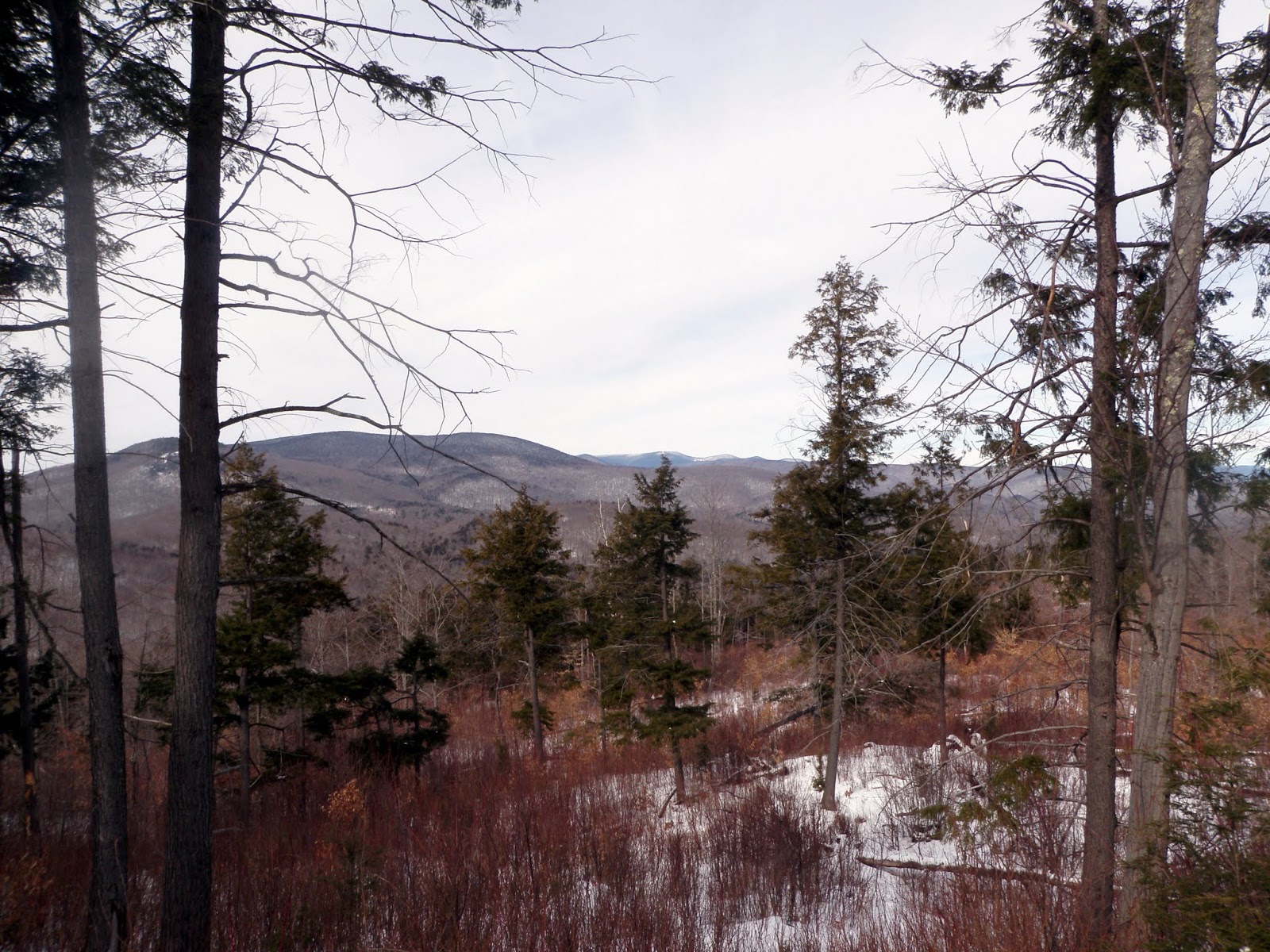
We left the Stinson Mountain Trail to start bushwhacking through the open woods beneath Stinson Mountain-Northeast Peak.


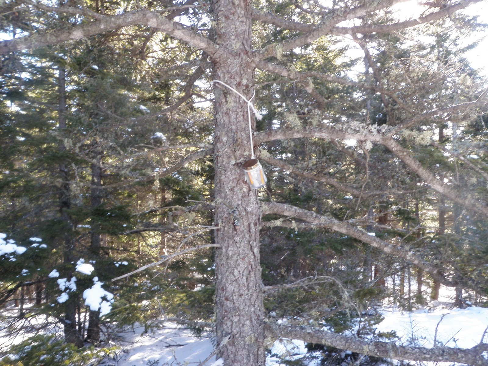
The register from the jar at the summit of Stinson Mountain-Northeast Peak.


A well-known hiker and bushwhacker left an entry in the register on Stinson Mountain-Northeast Peak. Nefarious Nate’s notes are always a great read. I added our signatures, as we were only the third entry here since 2001.


Keith and I signed the summit register at Stinson Mountain-Northeast Peak, which stands at an elevation of 2,807 feet.


Keith at the summit register on the Northeast Peak of Stinson Mountain.


I found a single moose antler and the register I missed during my hike to the summit of Stinson Mountain–Northeast Peak last winter. No moose were spotted today, but there were plenty of tracks in the hard-packed snow. The weather stayed dry with no precipitation, and temperatures were cold but not freezing. It was a fun outing with Keith and the family.

Saturday, February 20, 2016

Little Wildcat Mountain (NH) 2/20/2016

Little Wildcat Mountain

Location: Beans Purchase, New Hampshire
Mileage: 3.15 Miles
Elevation Gain: 1765 Feet
Trails Used: XC Ski Trail, Bushwhack
Views: None, Wooded Summit
Difficulty: Moderate
Hiking Lists: NH 200 Highest/NH 3000 Footers


Brian and I had planned a decent hike today on a few peaks near Berlin, New Hampshire. While bushwhacking conditions have been pretty good lately, much of our route was on snowmobile and ATV trails, which didn’t work out so well. A fresh layer of snow over an icy base made walking tricky, and our Microspikes were nearly useless. After a few falls between us, we decided to turn back and try a short bushwhack near Jackson, New Hampshire, on a peak I hadn’t visited since my New Hampshire 3K finish. We arrived at the Great Glen XC ski area parking lot, geared up, and set out.


We parked at the Great Glen Base Lodge, where the view of Mount Washington was hidden behind a blanket of clouds.


We started on the Sages Path XC Ski Trail but soon left it to bushwhack our way to the summit of Little Wildcat Mountain.


We bare-booted southwest through open woods, where a fresh layer of snow covered the ground. The snow wasn’t too deep at this stage of the hike.


Brian paused for a break in an open section of woods before we tackled the scrappy trees and steep, icy cliff bands just below the summit of Little Wildcat Mountain.


Brian looks thrilled as we get ready to start the steep climb to the summit of Little Wildcat Mountain.


A canister and kitten sign mark the wooded summit of Little Wildcat Mountain, standing at an elevation of 3,325 feet.


Instead of retracing our steps, we decided to head east for a bit, and although it was steep at first, it turned out to be a better route. On the way down to where we parked, we were treated to a beautiful view of South Carter Mountain.


Brian and I headed down from the summit of Little Wildcat Mountain. We quickly retraced our recent tracks and hiked out to the car.


It was a hike reminiscent of my New Hampshire 3K finish from several years back, made a bit more challenging by the ice and snow near the summit of Little Wildcat Mountain, yet still enjoyable. Although we didn’t complete our planned route, this turned out to be a nice alternative for a winter day that wasn’t all that bad.

Monday, February 15, 2016

Cone Mountain * Blake Mountain: 2/15/2016

I took today off to do a few hikes. There are many hikes that I wanted to do but I had a lack of ambition today and it was going to be a cold one, but sunny with a possibility of good views. I picked a few peaks that I had seen trip reports for recently and headed north to try my luck. Arriving in the area for my first hike, I decided to throw on some warm clothing but left my backpack in the car since it shouldn't be a long hike.


Cone Mountain

Mileage: 2 miles
Elevation gain: 845 feet
Trails used: none. bushwhack.
Highlight(s): register on the summit of Cone Mountain, slight views from ledges around the summit of Cone Mountain.


I had read of a recent trip report on this peak so I thought with the good snow conditions I would give it a go finally. I tried this peak several years ago but was turned around by private property issues and I didn't ask for permission at the time. I tried coming from the south again but again, private property and no trespassing signs dominated the route that I wanted to use to reach the summit of Cone Mountain. I had to move around the boundary area enough so that I wasn't trespassing which made this hike longer than it needed to be.

Cone Mountain is located in Thornton, New Hampshire. There are no trails that go to the wooded,view-less summit of Cone Mountain so it requires a bushwhack to reach its high point. There are several ledges around the summit area of Cone Mountain that offer views to nearby peaks.


The views from ledges below the summit of Cone Mountain looking towards Jennings Peak, Sandwich Dome and Acteon Ridge with its numerous ledgy bumps.


The jar register on the summit of Cone Mountain (elevation: 2132 feet).


The views from ledges below the summit of Cone Mountain looking towards Peaked Hill, Plymouth Mountain and Mount Kearsarge (in between).


The views from ledges below the summit of Cone Mountain looking towards Mount Dickey and Mount Welch, a popular hike at any time of year.


On the bushwhack back down to the car, I came across this little shelter overlooking Cone Pond. It even has a small bench inside.


The views from the ledge above Cone Pond looking towards Jennings Peak, Sandwich Mountain and Acteon Ridge.


A quick round trip hike and I was back at the car. The approach from the north is the preferred method of doing this hike as hiking from the south is posted No Trespassing and would require permission to do (if permission can be obtained). I had enough energy for a second hike, which I didn't think would take that much time to do so after throwing my gear in the car, I headed out for the next objective.


Blake Mountain

Mileage: 3.15 miles
Elevation gain: 830 feet
Trails used: none. bushwhack.
Highlight(s): views from the logging cuts below the summit of Blake Mountain.


This would be another hike that I had read about recently so I decided to give it a go as it was somewhat nearby to where I hiked my first hike. My only issue was where to find the trailhead parking area where I would begin my hike and not necessarily take to my end destination. 

Blake Mountain is located in Thornton, New Hampshire. There are no trails that go to the wooded,view-less summit of Blake Mountain so it requires a bushwhack to reach its high point. There are several logging cuts leading up to the summit of Blake Mountain that offer views to nearby peaks.


I parked at the end of the Peaked Hill Pond Trail and walked a short distance to a logging cut, where I would begin the bushwhack to the summit of Blake Mountain.


The snow was hard packed and the woods were open to start the bushwhack.


Eventually, I hit this forest boundary line and followed it awhile through open woods. Eventually I would start the climb to the summit of Blake Mountain.


The boundary line started heading in a different direction than the summit of Blake Mountain so I started heading up through these old logging cuts.I looked back and got this view of Peaked Hill, the Mount Kineo-East Peak ridge, and Mount Moosilauke.


The views from a logging cut looking north towards Franconia Notch, Franconia Ridge, and Cannon Mountain.


The views (through the trees) from the summit area of Blake Mountain of Campton, New Hampshire, Mount Weetamoo, Campton Mountain, Mount Percival, Mount Morgan and Mount Prospect.


The high point of Blake Mountain (elevation: 1561 feet). You can get views from just below the summit and through the trees (in winter when the leaves are down).


Heading back down through the logging area looking north towards Franconia Notch, Franconia Ridge, Scar Ridge, Cannon Mountain, the Cannonballs, North Kinsman, South Kinsman, and Mount Wolf.


Heading down one last logging cut with views looking towards Mount Tecumseh.


While hiking in logging cuts can be slow going (and painful) due to the pricker bushes, sometimes you have no choice eventually but go up towards the summit. It was definitely weird hiking through them with the low snow winter we have had so far as they are usually buried under snow. On the plus side, it was a bonus to get views from Blake Mountain, as well as Cone Mountain, and have decent weather as well.

Saturday, February 13, 2016

Bear Mountain (NH) 2/13/2016

Bear Mountain

Location: Bartlett, New Hampshire
Mileage: 5 Miles
Elevation Gain: 2100 Feet
Trails Used: Road Walk, Bushwhack
Views: From Logging Cut, Wooded Summit
Difficulty: Moderate
Hiking Lists: NH 200 Highest/NH 3000 Footers


Kris reached out about possibly going for a hike this weekend, so we tossed around a few ideas before settling on something he needed to do—one that Brian and I had already climbed, though never in winter—and decided it was worth a re-do. We planned to meet Kris at the park-and-ride in Penacook, then drive north to Bear Notch Road, where we’d begin the hike. It was shaping up to be a cold day, so after gearing up, we headed down Bear Notch Road to our starting point for the bushwhack.


We followed day-old snowshoe tracks through open woods and logging cuts, enjoying views of Mount Paugus, Mount Passaconaway, and Hedgehog Mountain.


The logging cuts offer better views looking out toward Mount Paugus, Mount Passaconaway, Hedgehog Mountain, Potash Mountain, East Sleeper, West Sleeper, and the Tripyramids.


Climbing through another logging cut, the summit of Bear Mountain gradually comes into view.


We enjoyed endless views from the many logging cuts we passed through, despite the cold and windy day.


Brian and I at the wooded summit of Bear Mountain, standing by the canister and old sign at an elevation of 3,220 feet.


Kris grabs a snack at the summit of Bear Mountain as we get ready to follow our tracks back out to the car.


The views from a logging cut on Mount Carrigain, nestled between Owls Cliff and Mount Tremont.


From a logging cut, the views of Mount Paugus, Mount Passaconaway, Hedgehog Mountain, Potash Mountain, East Sleeper, West Sleeper, the Tripyramids, and Scaur Peak are stunning as the sun peeks through on the hike back to the car.


We walked along Bear Notch Road to and from the summit of Bear Mountain, which is closed in winter but open for snowmobiles.


It was a fairly quick round trip hike and bushwhack through mostly open woods on a windy, cold winter day. We saw several snowmobiles zoom past on Bear Notch Road, even though it was supposed to be closed due to low snow conditions. We wore Microspikes or went bare-booted for the entire trip. Hiking with Kris is always great, and after quickly changing and tossing our gear in his car, we headed into Lincoln for some well-earned post-hike food.

Saturday, February 6, 2016

Foss Mountain (NH) 2/6/2016

Foss Mountain

Location: Eaton, New Hampshire
Mileage: 2.55 Miles
Elevation Gain: 740 Feet
Trails Used: Road Walk, Foss Mountain Trail
Views: From Summit of Foss Mountain
Difficulty: Easy/Moderate
Hiking Lists: None


Some days you feel like hiking and then other days, not so much. This would be one of those days. It was a bitterly cold, windy day to be out hiking but I went anyways with quite a few plans in place but in the end, nothing really panned out. I spent too much time on roads that are not maintained in winter, so I had to backtrack several times and find new routes. So, after a little searching online and in the Gazetteer, I found a hike that shouldn't be too hard albeit with unknown snow conditions. 
 
Foss Mountain has two summits, the northern summit which is where the views are and southern higher summit, which is wooded and further along the summit ridge. There are blueberries, in season, so please check the trailhead kiosk to see where it is okay to pick them.


I had to park at the hiker parking area as you can't drive to the summer trailhead parking area,  and walked up Foss Mountain Road, which had about 5-6 inches of fresh light snow.


The summer trailhead and parking area for the Foss Mountain Trail, which starts behind the metal gate. It's roughly a half mile hike or less with very little elevation gain.


The views from the northern summit of Foss Mountain, elevation 1647 feet, looking towards Mount Shaw and the Ossipee Range, with the Belknap Range in the distance to the left.


The views from the northern summit of Foss Mountain looking Lyman Mountain, Mount Chocorua, Mount Passaconaway, Mount Carrigain, and the Moat Range.


The views from the northern summit of Foss Mountain looking towards the Moat Range, the Presidential Range (in the clouds), the Wildcat Range and Carter Dome (also in the clouds).


The views from the northern summit of Foss Mountain looking east into Maine.


Note, I did not go to the higher summit of Foss Mountain today only because I didn't feel like making the less than half mile trek over to it through the soft snow without snowshoes. I ended my hiking day early as I really wasn't feeling like hiking anything else at this point, so I drove into North Conway for some shopping therapy. I will have to come back here in better weather and when the blueberries are ripe for picking.

Monday, February 1, 2016

Mount Hitchcock-West Peak (NH) 2/1/2016

Mount Hitchcock-West Peak

Location: Lincoln, New Hampshire
Mileage: 4.75 Miles
Elevation Gain: 1990 Feet
Trails Used: East Branch Trail, Bushwhack
Views: None, Wooded Summit
Difficulty: Moderate
Hiking Lists: NH 200 Highest/NH 3000 Footers

I took Monday off to do a hike or two, so with the nice temperatures and low snow levels I decided to do a bushwhack and test the conditions. I left the house a bit later than normal but the drive up to Lincoln, New Hampshire was quick. Once I made it to the Lincoln Woods parking area, I geared up quickly and headed out. It was overcast and a bit on the cool side, but the snow was firm so I wore Microspikes for the whole hike/bushwhack. My objectives would be Mount Hitchcock-West Peak and if I had the energy and time I would try for Mount Hitchcock.


The ranger station located at the Lincoln Woods parking area. There was no one staffing it today, or maybe it was because of the early time I set out.


I started hiking on the East Branch Trail and once I was past the ranger station, I hopped into the woods and headed directly west through open woods towards the summit of Mount Hitchcock-West Peak.


I hit the southern part of the summit ridge, and this was about as thick as the woods would get for the days bushwhack. The snow depths were minimal as well.


The summit canister for Mount Hitchcock-West Peak, elevation 3080 feet


Heading back across the summit ridge, this is where all the deeper snow was located. I followed my tracks in reverse which made for a quick trip down.


I deviated from my tracks heading up to the summit and managed to get views through the trees of Whaleback Mountain and Mount Flume


This would turn out to be the only bushwhack I would do today. Although snow conditions were perfect, and the temperatures were in the pleasant side for being winter, I ran out of energy to try for Mount Hitchcock, which is the highest peak of the five Hitchcock peaks in New Hampshire. The bushwhack itself was easy but somedays you have it and somedays you don't. Regardless, being in the woods still beats being at work any day.