Mount Israel - Mount Dinsmore
Location: Sandwich, New Hampshire
Mileage: 5.55 Miles
Elevation Gain: 2135 Feet
Trails Used: Wentworth Trail, Bushwhack
Views: Ledges Below and From the Summit of Mount Israel
Difficulty: Moderate
Hiking Lists: Mount Israel - New Hampshire 52 WAV/NH 300 Highest
Brian and I wanted to take it easy this week and enjoy some views without too much effort. We decided on Mount Israel, something we’d done before but in a different season. I suggested adding a short bushwhack over to Dinsmore Mountain, and the plan was set. As usual, seeing it through would be a fun challenge. Snow conditions were still light, but with the recent hot-then-cold weather, the snow ranged from hard-packed to knee-deep along the bushwhack to Dinsmore. It was shaping up to be a cold, breezy, and cloudy winter day, but we were determined to make the most of it.

We hiked the Wentworth Trail, covered in hard-packed snow. It begins just to the left of the Mead Base Camp parking area.

The Wentworth Trail is straightforward and easy to navigate. We wore Microspikes the entire day for this round-trip hike, even during the knee-deep bushwhack.

The views from ledges below the western summit of Mount Israel looking towards Red Hill, with the Belknap Range behind it.

From the ledges just below Mount Israel’s western summit, you can take in stunning views of Mount Kearsarge, Ragged Mountain, Mount Sunapee, and the nearby Rattlesnake Mountains in the Squam Lakes region.

From the summit of Mount Israel, you can see the lower summit in the foreground, with Tenney Mountain and Mount Cardigan rising beautifully in the distance.

From the summit of Mount Israel, the views stretch out toward Killington Peak and Pico Peak in Vermont. Dinsmore Mountain sits nearby, waiting as our next destination.

From the summit of Mount Israel, the view stretches toward Mount Chocorua, Mount Paugus, and Mount Passaconaway peeking over Mount Whiteface, with East Sleeper, West Sleeper, and the Tripyramids in sight, along with Flat Mountain and Young Mountain close by.

From the summit of Mount Israel, the views stretch out toward the Tripyramids, Sandwich Mountain, and Black Mountain.

From the summit of Mount Israel, the view stretches toward Black Mountain, Mount Moosilauke, Cone Mountain, Mount Cushman, and Mount Kineo.

The view from the summit of Mount Israel stretches toward Mount Paugus, its South Peak, and the striking Mount Chocorua.
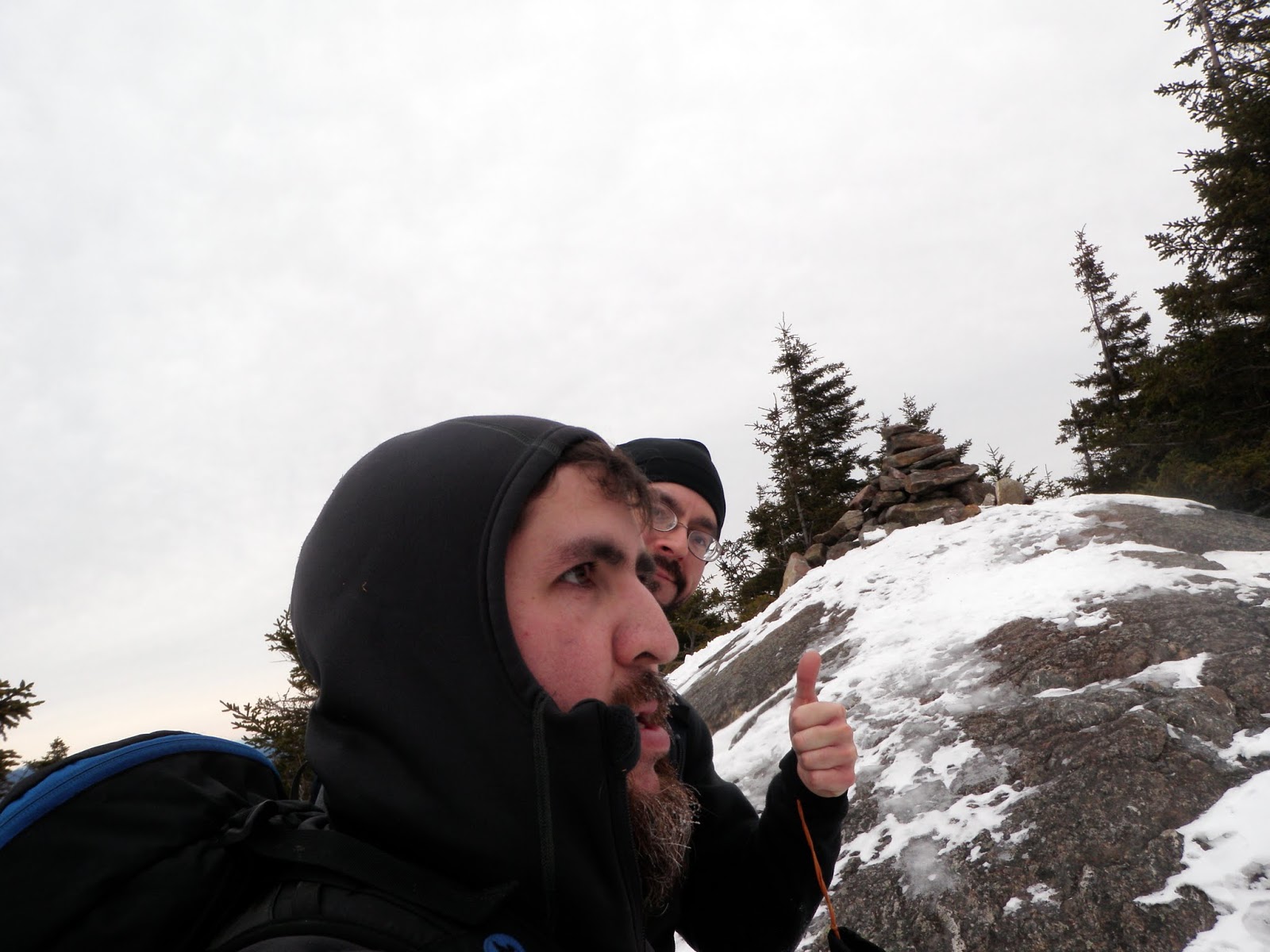
Brian and I at the summit of Mount Israel, elevation 2,636 feet.

We left the Wentworth Trail and began bushwhacking through the open woods toward Dinsmore Mountain. In some areas, the snow reached nearly to our knees.

The jar register sits at the highest point of Dinsmore Mountain, at an elevation of 2,298 feet. Of the two summit bumps, the southern one is the taller.

We bushwhacked down the drainage and headed straight for the Wentworth Trail, passing through more open woods.
The bushwhack back to the car was a mix of knee-deep snow, but heading downhill is always easier than the climb up. We were satisfied with this hike, so we skipped doing another and called it a day—something rare for us, but in winter, it’s better to be safe than sorry. It was a pleasant winter day to revisit Mount Israel, especially since the conditions could have been worse.

No comments:
Post a Comment