My Pages

Saturday, February 8, 2014

Dixville Peak: 2/8/2014*

Hunter Mountain

Location: Hunter/Lexington, New York
Mileage: 7.6 Miles
Elevation Gain: 1914 Feet
Trails Used: Spruceton Trail
Views: 360 from Inside the Fire Tower Cab
Difficulty: Moderate
Hiking Lists: Catskill Fire Tower Challenge/Fire Tower Challenge (Adirondack/Catskills)/Catskill 3500 Club


Mileage
: 13.4 miles
Elevation gain: 2220 feet

Trails used: Snowmobile trail, bushwhack.
Highlight(s): 


For our Saturday hike, we decided we needed to head back into some familiar territory and re-visit a New Hampshire 3000 footer we had done before, but in a different season and pretty much drove all the way to the summit. Yet it was winter, so we knew we were in for a long walk on snowmobile/ATV trails and the day was supposed to be cold, so we made sure we were ready for bad weather and were going to make the best of it.

Dixville was a lovely mountain with decent views, but now props up the Northern end of a series of wind turbines stretching across the whole Phillips Brook/Kelsey area.  Once wild and pristine it now features industrial sized power lines, super wide and maintained roads, and of course the aforementioned "mighty "wind turbines.  The bonus to all of this is a super network of snowmobile and ATV trails, to which we took advantage of as it allowed us to spend the whole day on groomed trails.  Dixville Peak is in the Dixville Township.

Wind turbines:  eyesore or good for the environment/public?  You decide.

Dixville Peak is on the New Hampshire One Hundred Highest List,  the New Hampshire Two Hundred Highest List, and the New Hampshire 3K List.


The start of the snowmobile trail (which is also an active logging road in summer) we would use to reach our destination in the distance: Dixville Peak. We would spend a lot of time being buzzed by snowmobiles today.


The logging road is a super groomed snowmobile highway that makes for easy going. The only problem is that it goes on and on for miles.


As usual, the bonus of logging roads and snowmobile trails is that you can usually get views from them at some point.


Brian moving along slowly on the snowmobile trail with some northern New Hampshire peaks in the background.


 The wind turbines appear from the clouds on Mount Kelsey. These are the power lines feeding off the turbines, which run along the length of the roads.


There are quite a few snowmobile trail/logging road junctions that you can get lost on if you aren't paying attention.


In the woods along side the road, the snow was fairly deep.


The final approach on the snowmobile trail will get you close to the summit.  You can hear the noise from the wind turbines, even over the wind.


Normally this spot offers super views, but the snow squalls chose this time to move in on us.


End of the line!  The yellow gate is where the snowmobile trail ends and a sign warns off any further approach.  Access is strictly prohibited on the access roads leading up to the turbines.


The old snowmobile trail will get you a bit closer, but even this has a sign that warns of further approach (thankfully it has text on it, because the picture would lead one to be warned that wind turbines shoot asteroids at unsuspecting people!)


Heading back down to the trail from the summit, we came across knee to hip deep snow that has been untouched this winter.


On the long hike out (and in also) we came across a lot of old logging areas like this one.  


Brian making the long, cold journey back out to his car.


So a long 13.3 miles marked this trip to a great little peak in the farther reaches of the Great North Woods.  It was the longest trip since the start of the year, and a good way to make some miles.  Except for a pretty stiff and bitter wind at times, the weather in general managed to cooperate.  It would have been great to get more views from near the summit, but the snow squalls had moved in just long enough to make picture taking non-existent for the most part.  Still a nice day regardless!

Wednesday, February 5, 2014

Mount Cardigan: 2/5/2014*

Mileage: 4.15 miles
Elevation gain: 1525 feet
Trails used: road walk, West Ridge Trail.

Highlight(s): 


Desi had been getting over a bit of a chest cold for the last few weeks so I asked her if she wanted to go out for a nice snowshoe hike to get some fresh air into her lungs. I suggested Mount Cardigan, since we both like this peak a lot and have hiked here several times.  It was a resounding yes so off  we went.

Mount Cardigan is in Cardigan Mountain State Forest and also located in the towns of Orange and Alexandria, New Hampshire.  There is a fire tower that sits on the summit that is manned at various times in the "good weather" days (i.e. any time other than winter).  

It had snowed quite a bit from a recent storm a few days prior, so we decided to head up the West Ridge Trail not knowing exactly how the snow conditions truly were going to be.  We arrived to a mixture of hikers and skiers so the trail up would have a nice track.  While we weren't expecting the views to be present today, we thought the weather might clear up a bit so we could get something.

Mount Cardigan is on the New Hampshire Two Hundred Highest List and the New Hampshire 3K List.


Hiking up the snowshoe track that was in place from snowshoes and skiers.  This is part of the road that goes to the summer parking area for the West Ridge Trail head.


The summer parking area with slightly overcast skies, which would be the norm for the hike.  The road is not plowed this far in winter.


We stopped here for a rest before we would head up the West Ridge Trail towards the summit of Mount Cardigan.


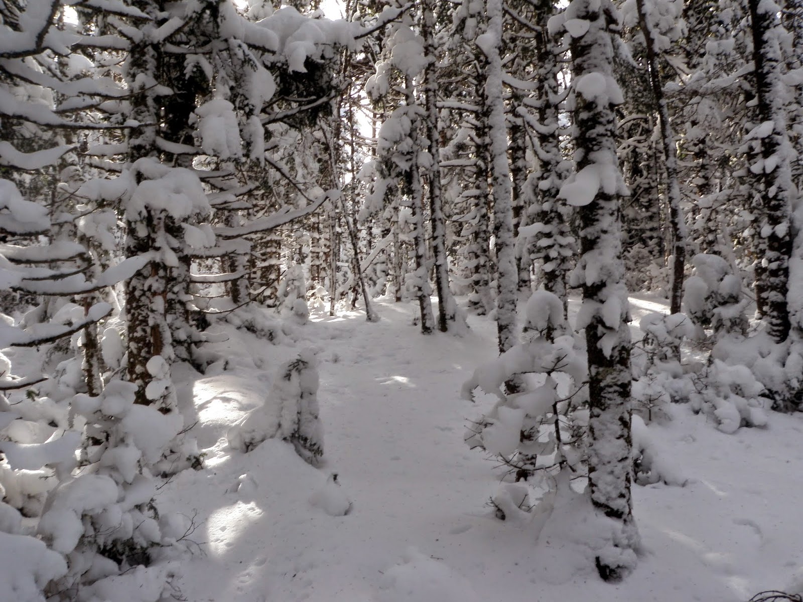
The starting section of the West Ridge Trail, which leaves from the summer parking area.  The woods were nice through here and the trail was packed down very nicely from people heading up before us.


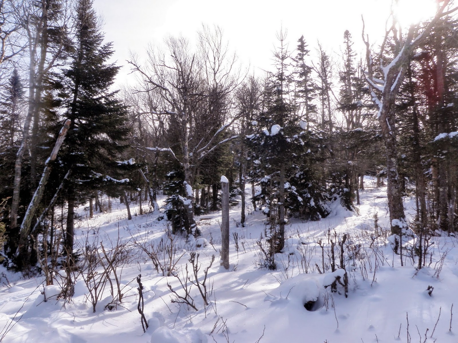
 Some gnarly looking trees covered in snow along the West Ridge Trail.


At the junction for the South Ridge/Rimrock Trail and West Ridge Trail.  There are very nice views and an interesting perspective of Mount Cardigan from both of these areas although we did not go today though due to the weather.


Some more sections of the West Ridge Trail.  This trail, from the summer parking lot, is roughly 1.5 miles to the summit.  Notice the XC ski tracks along with the snow shoe tracks.


The West Ridge Trail continues on as we get closer to the summit of Mount Cardigan.


We would cross Chuck's Bridge.  No trolls on duty today though.


We are fast approaching the summit.  This is looking back towards the Rimrock area.


Heading up to the summit, it was a mixture of bare granite and nice snow drifts, as well as rime ice.  We had to weave our way around to get up to the summit since we were both wearing snowshoes still.


There are numerous trails that intersect various portions of the mountain, from regular hiking trails to ski trails making for some interesting variations for hikes.


The summit of  Mount Cardigan (elevation 3123') and its fire tower, which at this time is obviously not manned.


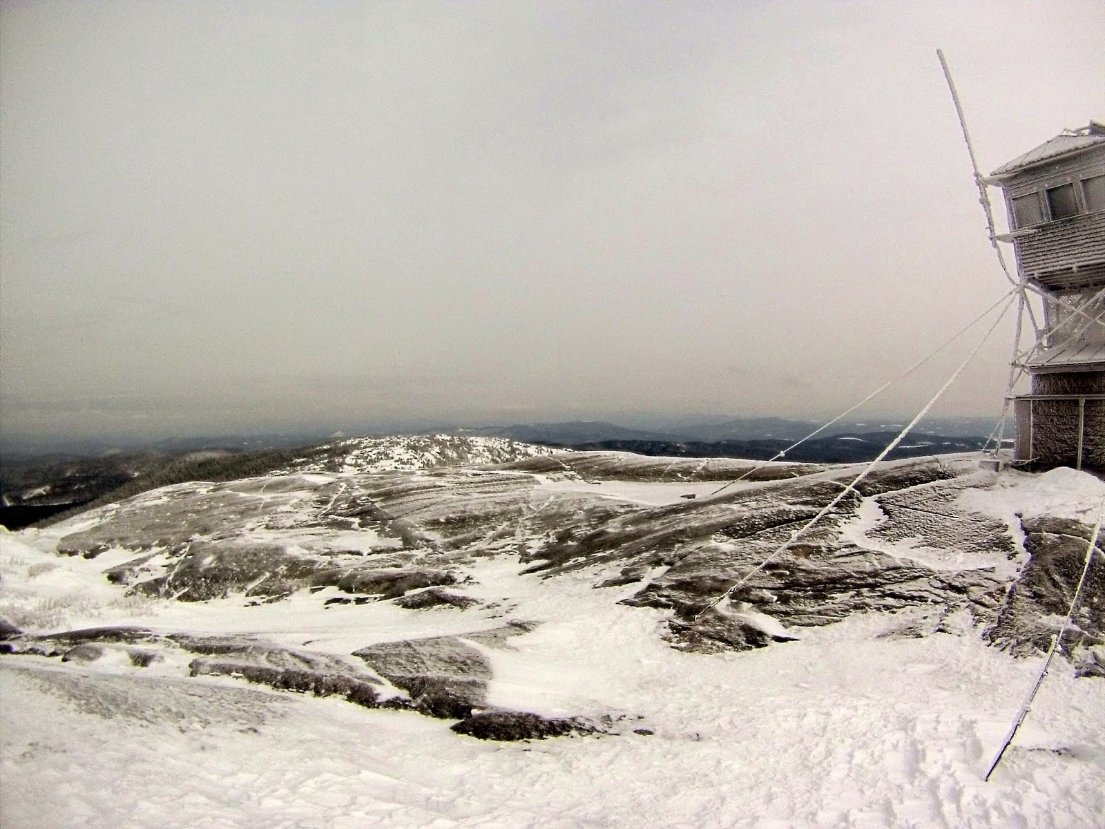
The fire tower on the summit of Mount Cardigan and its rime ice coat.


Not very many views today.  Right as we reached the summit, the snow line moved in.


Rime ice that has built up on the support structure for the fire tower.


The hike out was quick, like it usually is when you are headed down.  We passed several people heading up just as the weather moved in.


One last picture.  Desi and I just below the summit.  It was really COLD up on the summit.

A nice winter hike up a nice mountain as usual.  It's the first winter trek up Cardigan for either of us but it was an enjoyable one.  Plus, it went quick as we didn't have to break trail for any length and the weather held off for the most part.  On a nicer day, we would definitely have to return to check out a few more of the other trails this area has to offer.

Saturday, February 1, 2014

West Castle (NH) *2/1/2014*

West Castle

Location: Lincoln/Livermore, New Hampshire
Mileage: 10.75 Miles
Elevation Gain: 2545 Feet
Trails Used: None. Snowmobile Trail, Bushwhack
Views:  
Difficulty: Moderate
Hiking Lists: NH 3000 Footers/NH Hundred Highest/NH 200 Highest/NH 300 Highest


On Saturday, we ventured “north of the notches” for a bushwhack to West Castle Mountain. The grand plan was to continue on to Gore Mountain just to the north and maybe hit a few other nearby peaks along the ridge. Unfortunately, Old Man Winter had other ideas, and with deep snow blanketing the higher elevations, it became a tough, cold, and soggy trek just to reach West Castle. We would use very active snowmobile trail for most of this hike.


We parked by the gate that opened onto the snowmobile trail, our route toward West Castle Peak. A lone snowshoe track veered off ahead, disappearing toward destinations unknown.


Walking on snowmobile trails is always pleasant and easy, though sometimes long and tedious. From an old logging area, we get beautiful views of Lightning Mountain and Teapot Mountain.


A long stretch of the snowmobile trail stretches endlessly ahead, offering a southern view toward Stratford Notch Peak and Goback/Savage-East Peak.


Every now and then, you come across some great views that break up the monotony of the snowmobile trails. The extensive logging in this area also helps open up the scenery.


We kept moving along the snowmobile trail as the snow grew deeper, knowing it wouldn’t be long before we’d have to start our bushwhack.


Once we left the snowmobile trail, we followed a mix of logging cuts and skidder roads, with plenty of scenic views to kick off the bushwhack. From there, we were mostly hiking through fresh snow. Brian glanced back toward Spruce Mountain, Goback Mountain, and Teapot Mountain.


The logging roads eventually opened up into some beautiful woods, but this was also where the snow started getting deeper. We passed through some great moose habitat on the way up to the summit of West Castle.


Occasionally we would come across these frozen over ponds which we could pretty much hike right across and/or over.


We made our way toward West Castle at a leisurely pace, and it feels an awful lot like winter here.


We found ourselves pushing through dense spruce trees laden with heavy snow, making it the slowest, wettest, and toughest stretch of the day so far.


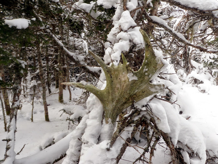
I came across another antler, probably left behind by someone at the summit of West Castle. It wasn’t in great shape, so I decided to leave it where it was.


At the wooded summit canister of West Castle, elevation 3,582 feet.


We turned around and made our way back to the car, taking in one final view of the day.


From the summit, the descent was slippery but straightforward, as the snow was very loose. Brian had been feeling under the weather for most of the hike, but once we returned to the snowmobile trail, he seemed to perk up, and it was smooth sailing back to the car. Overall, it was a pleasant return to a summit we hadn’t visited in years, this time under very different conditions from our first trip, which had been sweltering and plagued with bugs. Even though the plan had to be cut short, it still turned out to be a respectable yet challenging 10-plus-mile day.