West Castle
Location: Lincoln/Livermore, New Hampshire
Mileage: 10.75 Miles
Elevation Gain: 2545 Feet
Trails Used: None. Snowmobile Trail, Bushwhack
Views:
Difficulty: Moderate
Hiking Lists: NH 3000 Footers/NH Hundred Highest/NH 200 Highest/NH 300 Highest
On Saturday, we ventured “north of the notches” for a bushwhack to West Castle Mountain. The grand plan was to continue on to Gore Mountain just to the north and maybe hit a few other nearby peaks along the ridge. Unfortunately, Old Man Winter had other ideas, and with deep snow blanketing the higher elevations, it became a tough, cold, and soggy trek just to reach West Castle. We would use very active snowmobile trail for most of this hike.

We parked by the gate that opened onto the snowmobile trail, our route toward West Castle Peak. A lone snowshoe track veered off ahead, disappearing toward destinations unknown.


A long stretch of the snowmobile trail stretches endlessly ahead, offering a southern view toward Stratford Notch Peak and Goback/Savage-East Peak.

Every now and then, you come across some great views that break up the monotony of the snowmobile trails. The extensive logging in this area also helps open up the scenery.

We kept moving along the snowmobile trail as the snow grew deeper, knowing it wouldn’t be long before we’d have to start our bushwhack.

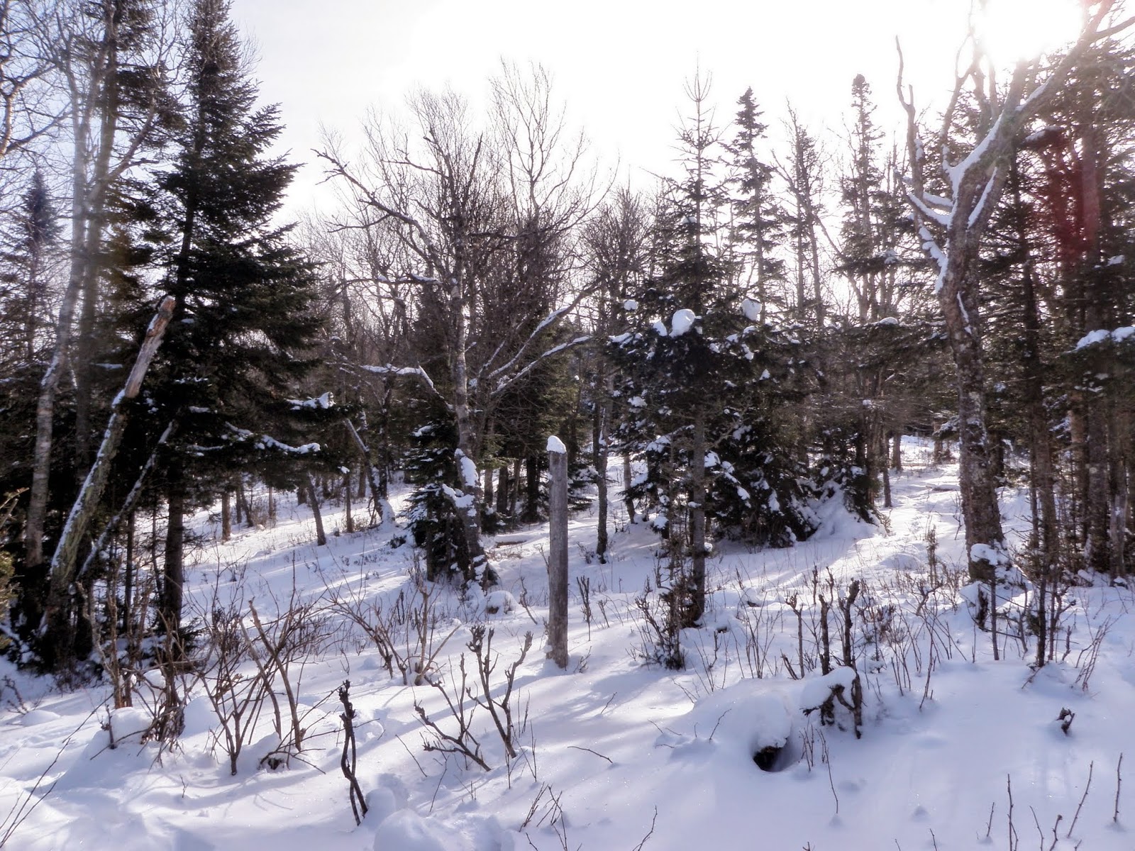

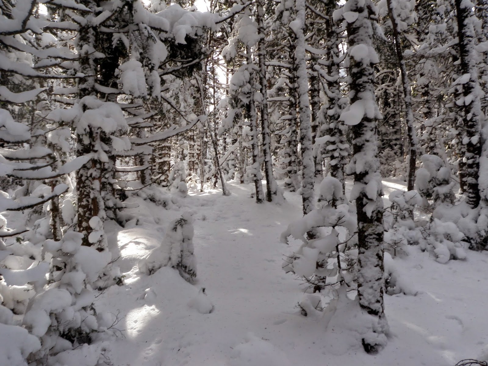

We found ourselves pushing through dense spruce trees laden with heavy snow, making it the slowest, wettest, and toughest stretch of the day so far.
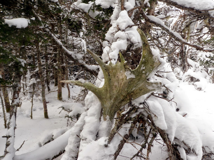
I came across another antler, probably left behind by someone at the summit of West Castle. It wasn’t in great shape, so I decided to leave it where it was.


From the summit, the descent was slippery but straightforward, as the snow was very loose. Brian had been feeling under the weather for most of the hike, but once we returned to the snowmobile trail, he seemed to perk up, and it was smooth sailing back to the car. Overall, it was a pleasant return to a summit we hadn’t visited in years, this time under very different conditions from our first trip, which had been sweltering and plagued with bugs. Even though the plan had to be cut short, it still turned out to be a respectable yet challenging 10-plus-mile day.

No comments:
Post a Comment