The Dome
Location: Pownal, Vermont
Mileage: 6.7 Miles
Elevation Gain: 1920 Feet
Trails Used: Broad Brook Trail, Agawon Trail, The Dome Trail, Bushwhack
Views:
Difficulty: Moderate
Hiking Lists: None
I took Monday and Tuesday off to hike although the initial weather outlook didn't look to promising. The forecast called for rain showers and partial sun. I actually lucked out for the most part as I decided to do some information gathering and head into southern Vermont to do a hike or two.
The Dome is located in Pownal, Vermont which is right over the border from Williamstown, Massachusetts. My original plan was to hike up to an old woods road that connects with the Long Trail/Appalachian Trail and then backtrack and possibly bushwhack my way up to The Dome. Due to the first water crossing, my plans were derailed. So, I did what Brian and I do best: I went with whatever the trails/woods gave me.

The blue blazed Broad Brook Trailhead and parking area are off of White Oaks Road.

The initial part of the Broad Brook Trail was a mixture of snow, ice and bare ground. I put on my microspikes at this point.

There's not much elevation gain on the Broad Brook Trail early on but there were a few stretches of up where the ice was annoying.

Shortly before reaching the junction of the Agawon Trail, I had to cross Broad Brook which was no easy task with the melting snow and higher water flowing. So instead of crossing the brook yet again, I opted to take this trail up to The Dome Trail

The yellow-blazed Agawon Trail has plenty of switchbacks and some fairly steep sections, but at least there wasn’t much snow to contend with.

Eventually, you come to the red-blazed Dome Trail, which follows the ridge north to the summit. The trail felt like an old woods road because of its width and, in some spots, had turned into a stream from the melting snow.

Someone had hiked a day or two ahead of me, leaving clear postholes in the snow. If you look closely, you can see thousands upon thousands of snow fleas.

As you near the summit of The Dome, The Dome Trail meanders through a spruce-fir forest.
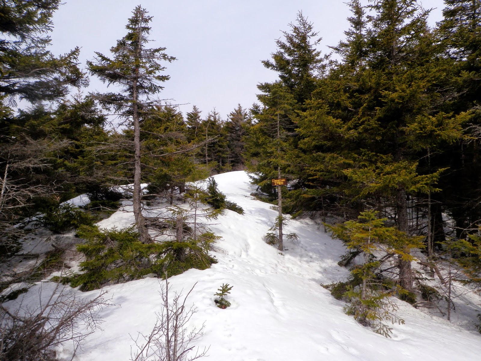
The wooded summit of The Dome sits at 2,748 feet. Thinking there might be a higher spot on the north side of the ridge, I bushwhacked over, but the trees at the top unfortunately block any chance of a view.

The snow was soft and still knee- to waist-deep in places, making the trek to the summit exhausting. I came across a blue-blazed trail that cut through, but I have no idea where it started or ended.

Returning to the familiar summit of The Dome, I chose to retrace my steps and follow The Dome Trail downhill to find its starting point.

Not sure how I missed this chair and loveseat combo out in the woods on my way up, but I definitely noticed it on the way down. It’s right next to a short stretch of snowmobile trail that you walk along.

On my way back to the car, I caught a glimpse of Mount Greylock framed by the trees.
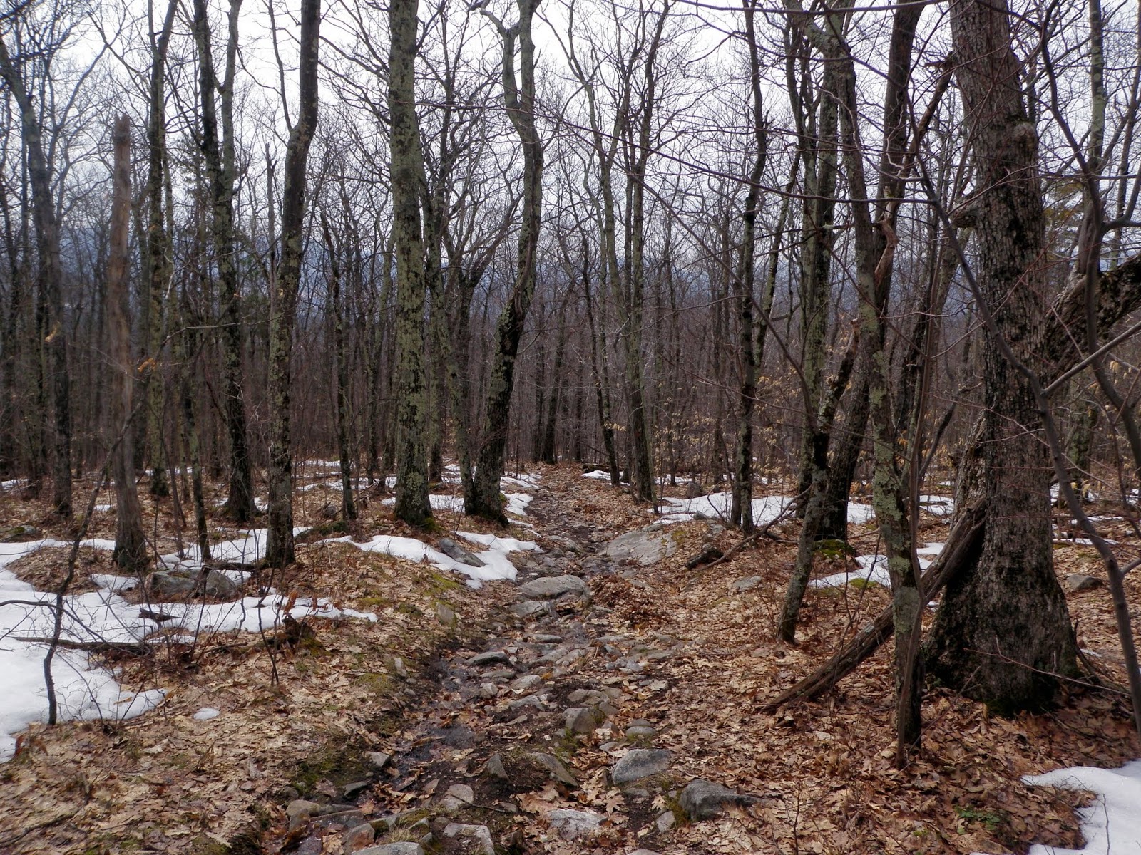
The beginning of The Dome Trail. There is a chain between the two trees to keep ATVs and bikes out, but to little avail it looks like.

Walking back to the car along White Oaks Road, I came across this old dam and the water was flowing mightily through it today.

No rain, no snow and some sunshine today. Plus it was in the 50's so it was t-shirt weather for most of the hike. If you like nice walks in the woods, this hike is for you. If you desire views, you'll need to look elsewhere. I managed to see how much snow is still hanging around (2-3 feet in most shaded spots) but there was enough bare ground to make this a tolerable hike today. The only other negative about today was the long drive from New Hampshire.

No comments:
Post a Comment