My Pages

Saturday, January 17, 2015

Mount Hale: 1/17/2015*

Mileage: 14 miles
Elevation gain: 3015 feet
Trails used: Zealand Trail, Lend-a-Hand Trail, Hale Brook Trail, road walk.


Well, for one, we actually had a plan for today's hike.  It would be one that I thought we could do easy enough and not have to use snowshoe's at all. Boy, was I wrong.  The day was forecasted for frigid temperatures and it sure was; it was -13 on Brian's car thermometer. With the winds, it felt a heck of a lot colder.

Mount Hale is located in Bethlehem, New Hampshire and is part of the Twin Mountain Range.  There are a few routes to take to reach its summit in winter:  the road walk up Zealand Road to the Hale Brook Trailhead, the old fire warden's trail that still gets regular use, and by people staying at the Zealand Falls Hut and walking up the Lend-a-Hand Trail to the summit.

Mount Hale is on the New Hampshire 100 Highest and 200 Highest List and also on the New Hampshire Fire Tower List.


We parked at the hiker parking area off of Route 302 in Twin Mountain and then started the long road walk up Zealand Road, with its now broken gate.


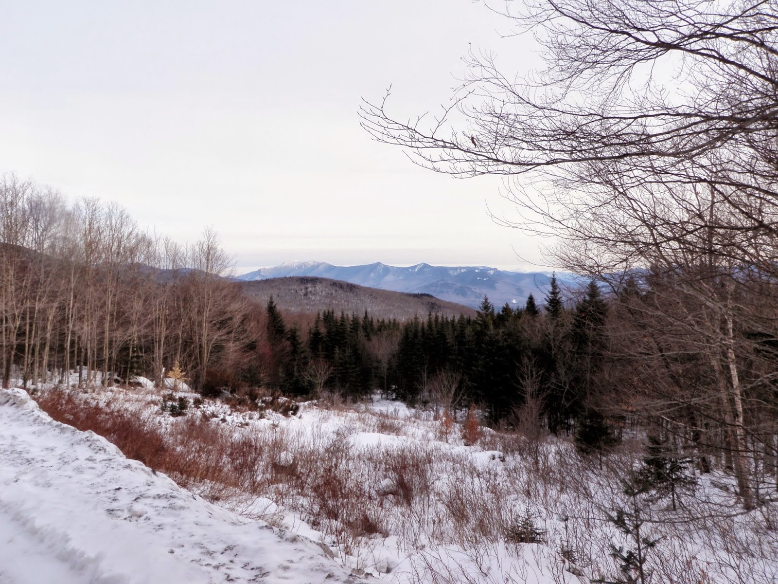
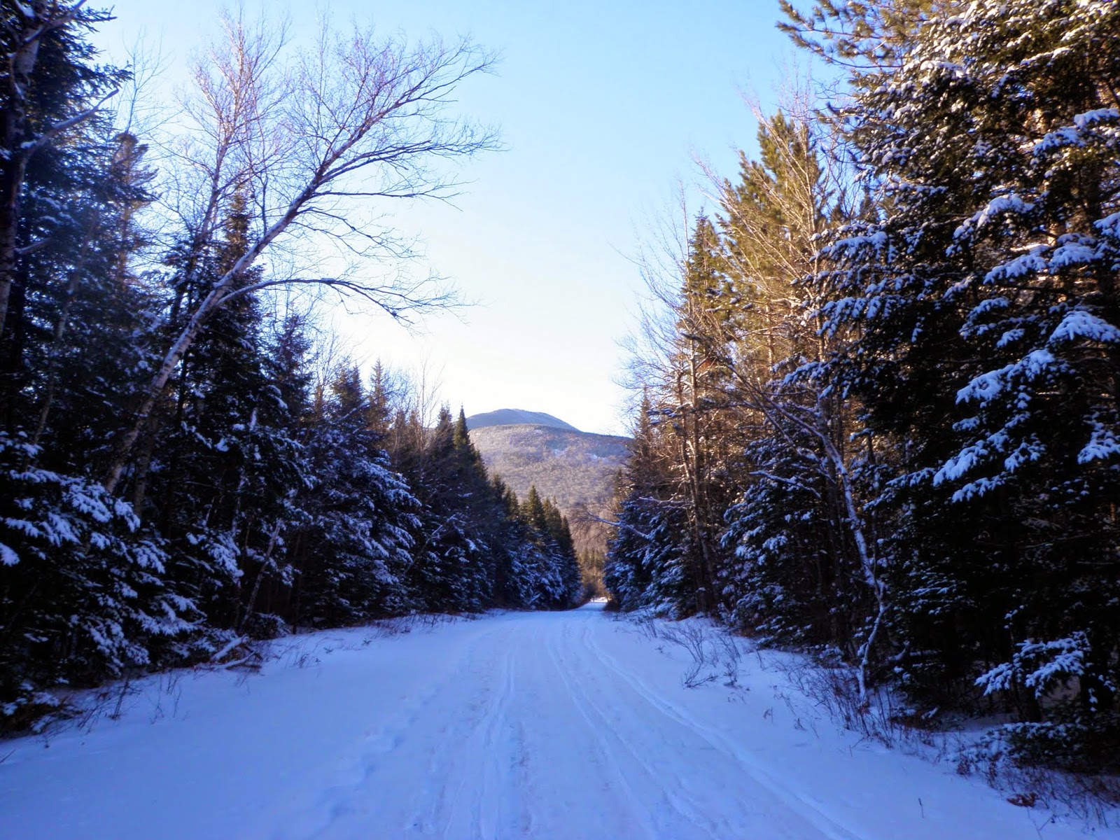
Portions of Zealand Road are used by snowmobiles.  It also gets a lot of XC ski traffic.  This is walking up the road with views to Mount Hale.

No Brian, it's not Spring yet.  He's sitting at a picnic bench by the Hale Brook Trail area.


Brian beginning the long trek down the Zealand Trail as we are passing by the Zealand Road summer parking lot.


Winter snow along the Zealand Trail.


There was a mixture of old XC ski tracks and snowshoe, plus people (like us) barebooting along the 2.8 mile stretch of the Zealand Trail to the Zealand Falls Hut.


Along the Zealand Trail and right around the beginning of the beaver pond area, we get views of Zeacliff and Zealand Mountain.


Not really sure if Brian is trying to pole dance or he's frozen to it.  You need to cross this bridge to get to the Zealand Falls Hut.


The views from outside the Zealand Falls Hut.  Whitewall Mountain (left) and Zeacliff (on the right, through the trees).  Straight ahead is Mount Carrigan, Vose Spur and Mount Anderson.


We started heading up the Lend-a-Hand Trail.  We were going to do South Hale but once we got to the col between it and Mount Hale, the buchwhack attempt through waist to almost chest deep snow (in spots) was more than I wanted to try.  We went about .02 miles in about 10 minutes; at this rate we would be heading out in the dark.


The Presidential Range from the Lend-a-Hand Trail.


Zeacliff and Zealand Mountain from the Lend-a-Hand Trail.


We are getting closer to the summit of Mount Hale.  The trail was pretty easy to follow with the only bad snow off the trails.


The rime iced trees on the Lend-a-Hand Trail just below the summit of Mount Hale.


Brian admiring the awesome views on Mount Hale (elevation 4054').  Either that or he is wondering why in the hell he is on this peak yet again in winter.


Me on the summit of Mount Hale.  Did I mention it was cold outside.


Mount Washington was in the clear the entire day.  It would have been nice to get up there for views but it definitely would have been an extremely cold day.


We headed back down the Hale Brook Trail, which hasn't seen any recent activity (at least when we did it).  It was soft snow on an old hard pack snow base so it felt like we were skiing on the way down and we both slipped a few times.  We only saw five people on the summit of Mount Hale, and 3 people cross country skiing (and a few snowmobilers).  

A very cold day to be out.  I went through three pairs of gloves and a few buffs to cover my face.  If only we were getting these miles for last year, there was really no reason to do this hike other than the fact we got to GRID this peak for January *wink*.

Saturday, January 10, 2015

Tumble Dick Mountain - Sugar Hill: 1/10/2015*

Mileage: 6.35
Elevation gain: 1385'
Trails used: Cohos Trail, snowmobile trails, bushwhack, roadwalk.


Saturdays hike was another "what are we going to do" kind of hike.  We met at the usual time at the exit 17 park n ride and made our decision as we drove north.  It was supposed to be a decent day weather wise, with mostly sunny skies but still with colder temperatures.  Driving through Colebrook, we noticed the bank displayed -9 degrees.  My cellphone was almost identical in its temperature for the area at -6.  With the windchills later in the hike though, it was face numbing cold (literally).

Tumble Dick Mountain is located in Dix's Grant, New Hampshire. Sugar Hill is located in Stewartstown, New Hampshire and also in Coleman State Park.  Both peaks are trail-less and require a mixture of snowmobile/ATV trails and short bushwhacks to reach their summits.

Tumble Dick Mountain and Sugar Hill are both on the New Hampshire 200 Highest List.  Sugar Hill is also on the New Hampshire Fire Tower List.


We started at the parking area at the Coleman State Park entrance and got ready for the hike.


We would be utilizing the vast snowmobile trail system to access these two peaks.  Some of these trails are also used by ATVs in summer.  The snow was better for snowmobiling this far up north, as evidenced by the numerous snowmobiles we saw.


You can see the yellow Cohos Trail blaze on the tree with the CT signage.  


Eventually we jumped off of the snowmobile trail and headed for the summit of Tumble Dick Mountain.  It was a mixture of ankle deep hard packed snow to knee to crotch deep soft snow.


Brian signing in the register on the summit of Tumble Dick Mountain (elevation 2907').  


The woods were open up to the summit so instead of breaking new trail through the snow, we opted to reverse course and to head back down on our tracks we took up.


Looking back at Tumble Dick Mountain from the snowmobile trail in the col between it and Sugar Hill.  


The snowmobile trail just before the summit area of Sugar Hill.  Since this is a long plateau like peak, it is a bit of a chore to find the high point especially with snow on the ground.


Eventually we found it and it was just as bad as I remember the first time we went looking for it.  This time it was knee deep snow hiking and snow squalls, plus a cold wind blowing.


Once we were done, we headed down the snowmobile trails as they zigzagged their way back down.  At this point, the winds were whipping around and snow was falling so getting back to the warm car was our priority.


Brian walking to the warming hut for the Swift Diamond Riders snowmobile club.  We walked the road back to my car.


A short day of hiking but a long day of driving.  That's the norm when you drive north of the White Mountains to do some day hikes.  We couldn't decide which time we liked hiking these peaks; when it was hot and muddy out, or when it was cold and snow covered.  I think I would still prefer the hot. 

Saturday, January 3, 2015

Mount Cushman - Cobble Hill: 1/3/2015

I knew a few days ago that I would be heading out solo.  The conditions for bushwhacking so far this winter have been almost perfect, as evidenced by my hike with Desi on New Years Day.  I knew it was going to be a pretty cold day, and I felt like I was coming down with a cold the day before but I loaded up on Tang (yummy) and headed out with a late start.


Mount Cushman

Mileage: 3.2
Elevation gain: 990'
Trails used: None.  Old logging roads, bushwhack.


This was going to be my second time here but first in winter.  The original route had us going through the Hubbard Brook Experimental Forest, but with Hubbard Brook Road closed for the season, I had to resort to a different route.  I had good information from a friend that from the height-of-land off of Route 118 was easy going.  So I made good time and parked and proceeded to get ready.  I would try the snowshoes out for this trip, as I have yet to use them thus far.

Mount Cushman is located in the Hubbard Brook Experimental Forest in Woodstock, New Hampshire.   The actual forest also extends into Ellsworth and Thornton, New Hampshire and is managed by the USDA Forest Service Northern Research Station.  For more information on what the Forest is for, go here.  Mount Cushman is a trail-less hike and requires a bushwhack to reach its summit.

Mount Cushman is on the New Hampshire 200 Highest List and New Hampshire 3k List.


I decided to start the bushwhack at this road side pull out off of Route 118 (just below the height-of land) with views of Franconia Ridge.  


From the car, I noticed and followed some old snowshoe and XC ski tracks that lead to this frozen over pond area.


The woods down low were nice and open but I did cross a lot of drainages and old logging/skidder roads on my way up.  


Occasionally I would come across some thicker woods.  Here the tree in the center had very recent evidence of moose gnawing on the bark as there were wood chips below it. 


While this is generally easy to walk through, in winter it is a bit tough with snowshoes on.


The summit canister for Mount Cushman (elevation 3321).  I remember the last time we were up here, we had to rehang the canister since the tree it was on fell over.  It was re-hung this last time very haphazardly and it was tightened too much/frozen so I could not open it.


On the descent, I decided it was best to avoid my tracks heading up and took a more north to northwest bearing back towards the car.  I did get a view through the trees of Mount Liberty and Franconia Ridge.


With the going much easier on this route, I hit one of the old skidder/logging roads and took it almost back out to the car.


I made it back to the frozen pond area, where I got views to Blue Ridge area of Mount Moosilaukee which borders it on the eastern side.


Looking back to Mount Cushman, from where I just hiked down from.


Once back down to the car, I was going to head over to try Mount Kineo and East Kineo while I was in the area.  Problem was, the road leading to the Hubbard Brook Trail was very icy and I didn't feel like getting the Civic stuck so I looked for another target.


Cobble Hill

Mileage: 5.35
Elevation gain: 1430'
Trails used: Cobble Hill Trail, old logging roads, bushwhack.


What a difference a few months make.  The last time Brian and I was in this area and on this particular trail, it was hot, buggy and miserable.  Now with the "lack" of snow, I figured it would be a better time to hike on this trail when its not a mosquito hell.  

Cobble Hill is located in Landaff, New Hampshire.  The trail starts at the Cobble Hill Trailhead off of NH Route 112.  Cobble Hill is a trail-less hike and requires a bushwhack to reach its summit.


The start of the Cobble Hill Trail, once past the gate.  It was very light snow on top of ice and various foot traffic recently. It looked like someone had driven an ATV through.


As I made the long 2.5 miles hike on the Cobble Hill Trail, the snow never increased but the ice and animal prints sure did.


Eventually I would need to start my bushwhack so I started it on this old logging road.


I lucked out as the logging road took me right up the ridge towards the summit.


The Kinsmans and the Mount Wolf ridge.


Looking back across the ridge to the summit of Cobble Hill (elevation 2306').


As I descended, I got this view (through the trees) of Moody Ledge.  The Cobble Hill Trail goes right between these two peaks.


Looking south to Mount Moosilaukee (left) and Mount Clough coming down the southern ridge off of Cobble Hill.


While the cold weather is always a minus on these types of hikes, I couldn't complain about the conditions on the ground.  I wore snowshoes for the first bushwhack but they really were more of an inconvenience as the snow was hard packed and firm enough to walk on.  So, the second hike I just wore Microspikes and was fine.  I still managed to slip around a lot on the exposed leaves due to the lack of snow at lower elevations.

Thursday, January 1, 2015

Stinson Mountain - Stinson Mountain, Northeast: 1/1/2015

Mileage: 4.65
Elevation gain: 1600'
Trails used: Stinson Mountain Trail, bushwhack.


Desi and I wanted to do a hike on New Years Day but we were undecided on where to go.  A few prospects popped out: Stinson Mountain, Carr Mountain and Desi recommended a few peaks that I had left in the Belknap Mountains.  We decided on Stinson Mountain, which we had visited before in July of 2012 with very limited views then.  We knew it was supposed to be mainly sunny but very cold temperatures with low teen wind chills.

Stinson Mountain is located in Rumney, New Hampshire.  There used to be a fire tower on the summit of this peak but it was removed in 1985.  The only remnants of it being there are the footings from the fire tower.  For more information on this hike, go here.

Stinson Mountain is on the 52 With-A-View (52WAV), New Hampshire Fire Tower and the New Hampshire 200 Highest List.  Northeast Stinson is a trail-less peak and requires a bushwhack to reach its summit.


We parked at the Stinson Mountain Trailhead parking area off of the very icy Lower Doe Town Road.


The Stinson Mountain Trail to start the hike was easy to follow, with recent traffic heading up the trail. It was a mixture of snow, ice and bare ground.


A not so recently used snowmobile trail that we crossed.  With such low snow depths, people are having a tough time with snowmobiling and skiing. 


As the Stinson Mountain Trail continues up, we come across more open ground and flowing/frozen water.


What parts of the Stinson Mountain Trail looked like the higher up we went, around 2300 feet in elevation.  We bare booted our way up to the summit but some people would feel comfortable with some sort of traction.


A nice birch glade area off the side of the Stinson Mountain Trail.  We took the Stinson Mountain Trail up to the summit at the junction; we would come down the snowmobile trail.


The snow sure does look steep here but its deceptively not.  This snowmobile sign was a little shorter than it should have been.  We took the right trail here going up, which makes a loop around the summit.


We are almost to the summit of Stinson Mountain, where we could see we were guaranteed to get the views we were denied in 2012.


We get our views!!!  Not exactly 360 but good enough for us.


A view towards just a few of the wind turbines from the Tenney Mountain area, with Mount Cardigan in the background.


The main bulk of the Tenney Mountain Wind Turbines, with Ragged Mountain behind it and Mount Kearsarge behind Ragged.


Looking to the Belknap Mountains and the Plymouth, New Hampshire area.


The old fire tower footings (and our backpacks) on the summit of Stinson Mountain (elevation 2900').  The snow was hardpacked up here and easy to walk on.  We still put on our Microspikes for the hike back down.


We took the snowmobile trail back down from the summit.  I decided, since the snow was firm, that I was going to bushwhack over to Northeast Stinson as I heard that the woods were awesome to hike in.  I was definitely in for a surprise.  Desi headed back down the trail.


It was only about .45 miles from the snowmobile trail to the summit of Northeast Stinson.  The snow was hard pack and easy to walk on.  The only time I even went in up to my ankles or knees, was right around the hobblebush and spruce trees.


Heading towards the summit, I was treated to a nice cow moose about 50-75 feet in front of me.  She didn't see me at first, but noticed the flash from the camera.  After I stood still for a minute or two, I noticed there were four other moose (another cow, 2 yearlings and a bull).  Five moose at one time is a record for me and I was elated to see these elusive beasts.


The summit of Northeast Stinson (elevation 2806').   I worked my way back down towards where I saw the moose to see if they were still in the area and even followed their fresh tracks but they were going in the completely wrong direction that I needed to go.


Looking back towards Stinson Mountain through more open woods.


This was about as thick as it would get for this hike.  I was practically running on top of the snow at this point.


Fresh moose rubbings on a tree.  You can usually find a nice path as you follow these trees and may even come across a moose.


Back on the trail, and a quick hike back down to the trailhead.


Our first hike of the New Year 2015 was a nice one.  There were decent views today from the summit of Stinson Mountain and the trail that wasn't too difficult to hike, given the conditions.  It was a bit cold on the summit, but we stayed long enough to enjoy the views before we headed back down.  Add that to the five moose sighting and I have a feeling it's going to be a good hiking year.